
Routenbibliothek
Radstrecken: Granfondos, Klassiker & epische Ausfahrten
Sportives, klassische Rundkurse und mehrtägige Traum-Ausfahrten – mit Distanz, Höhenmetern, Terrain und den Anstiegen auf dem Weg.
Nach Land durchsuchen
337 Routen
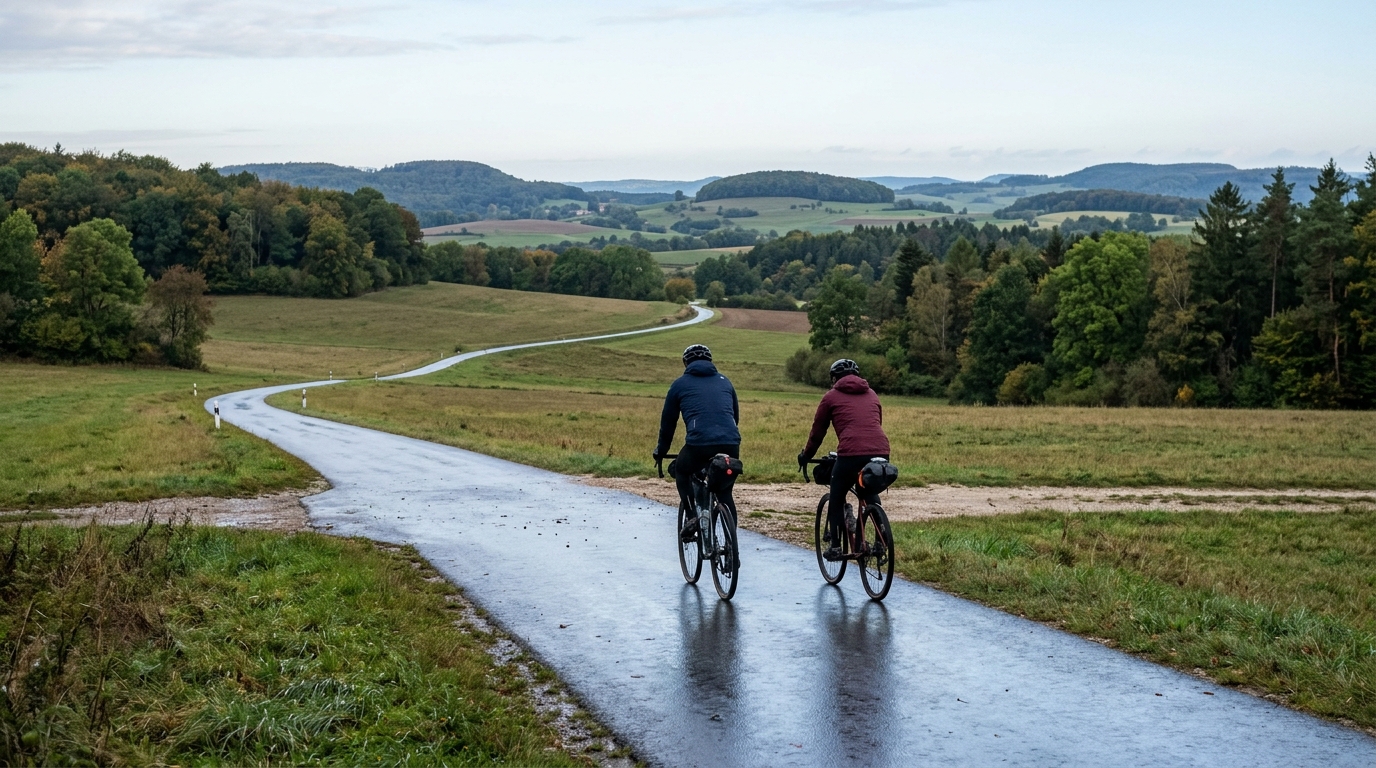
Schwäbische-Alb-Radweg
A point-to-point German asphalt route: 299.4 km, 2185 m of climbing, and a ride shaped by steady accumulation rather than a single decisive climb.
Route ansehen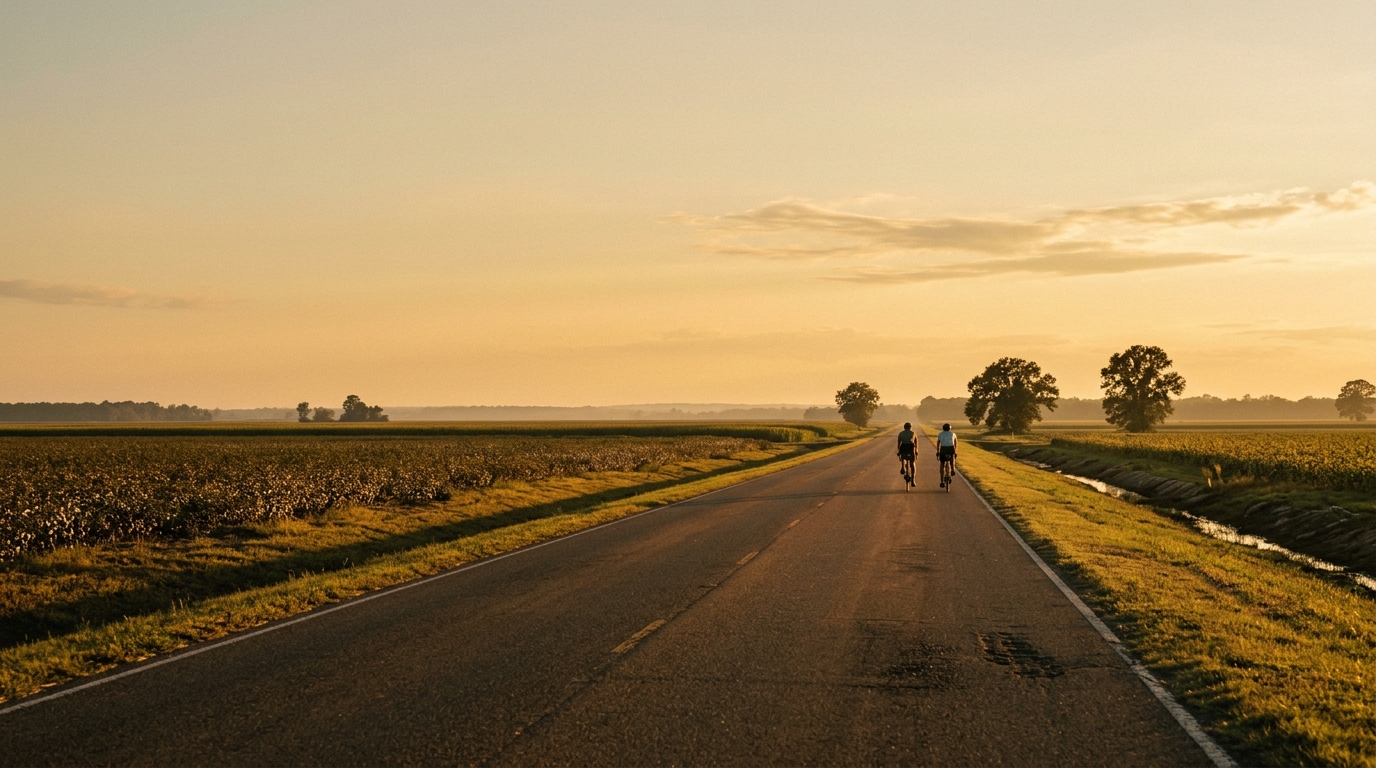
U.S. Bicycle Route 80 in Arkansas
A long asphalt point-to-point across Arkansas, USBR 80 is defined by distance rather than climbing, with 294.9 km and just 149 m of elevation gain.
Route ansehen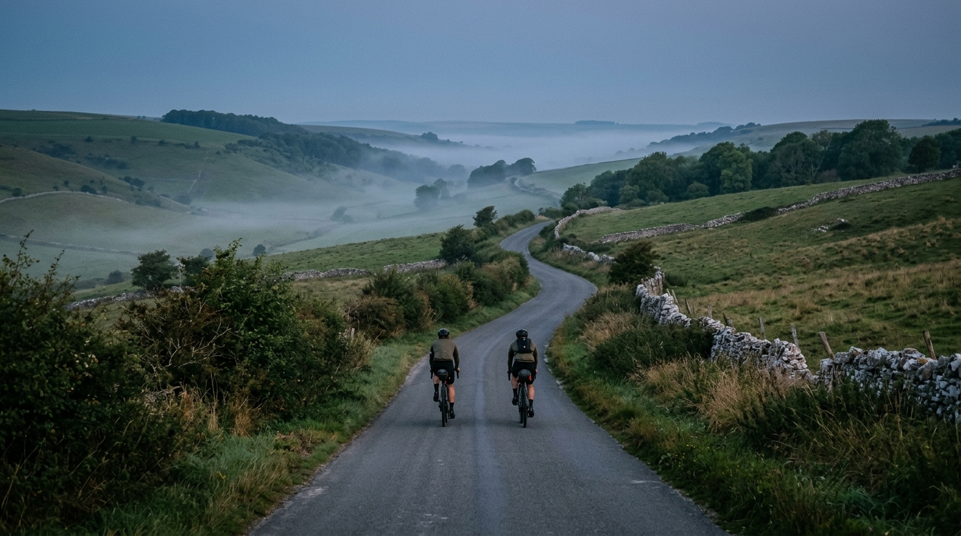
Yorkshire Wolds Cycle Route
A practical guide to the Yorkshire Wolds Cycle Route cycling route: 285.1 km of asphalt riding with 1443 m of elevation gain on a non-loop course.
Route ansehen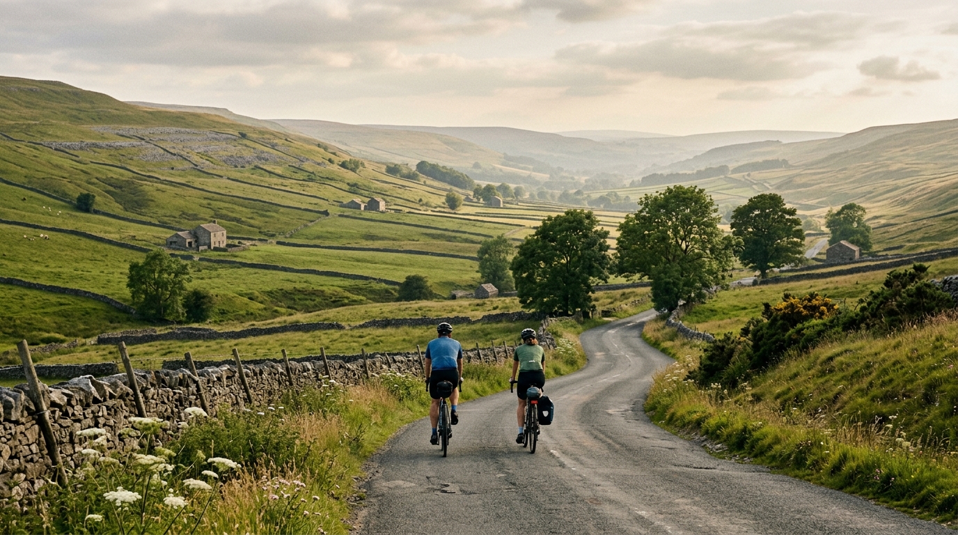
The Way of the Roses
A practical guide to The Way of the Roses cycling route, a 282.9 km asphalt point-to-point ride in GB with 1649 m of climbing.
Route ansehen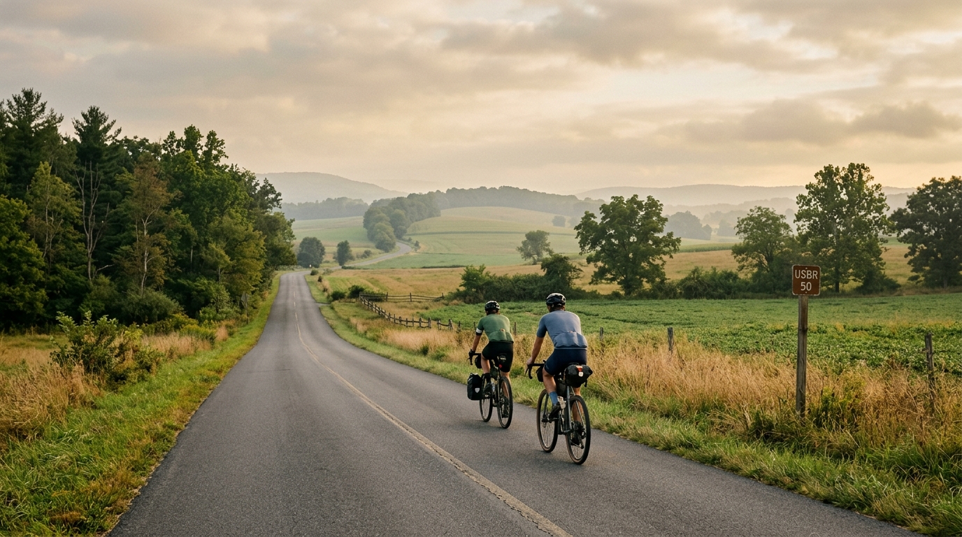
U.S. Bicycle Route 50 in Pennsylvania
A long asphalt point-to-point across Pennsylvania, USBR 50 is defined by distance, low total elevation gain, and steady endurance pacing.
Route ansehen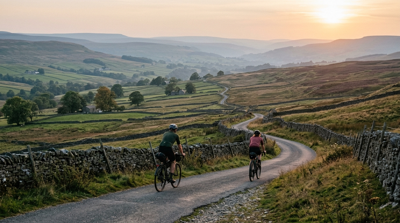
White Rose cycle route
A practical guide to the White Rose cycle route cycling route: 224.3 km of point-to-point asphalt riding in GB with 786 m of elevation gain.
Route ansehen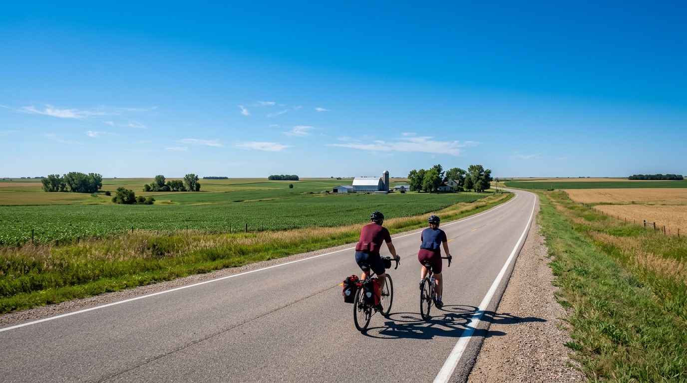
U.S. Bicycle Route 45
A practical guide to U.S. Bicycle Route 45, a 208.8 km point-to-point asphalt ride with minimal climbing.
Route ansehen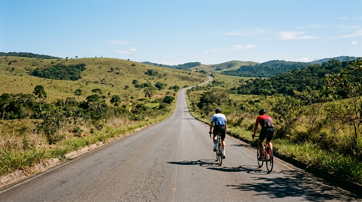
Rota Matuta
Rota Matuta is a 173.5 km asphalt loop in BR with 1631 m of elevation gain, built around endurance pacing rather than one named climb.
Route ansehen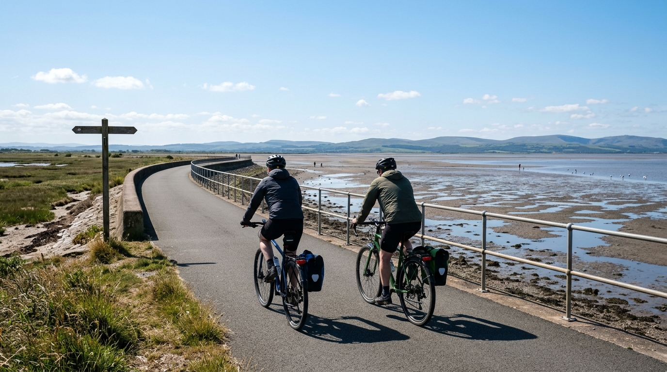
Bay Cycle Way
A point-to-point asphalt route in GB with 167.3 km of riding, modest total climbing, and no listed notable climbs.
Route ansehen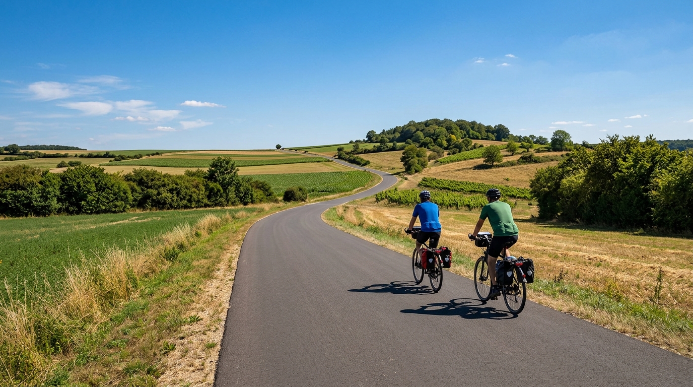
Stromberg-Murrtal-Weg
A 163 km asphalt point-to-point route in Germany with 737 m of elevation gain and a steady endurance character.
Route ansehen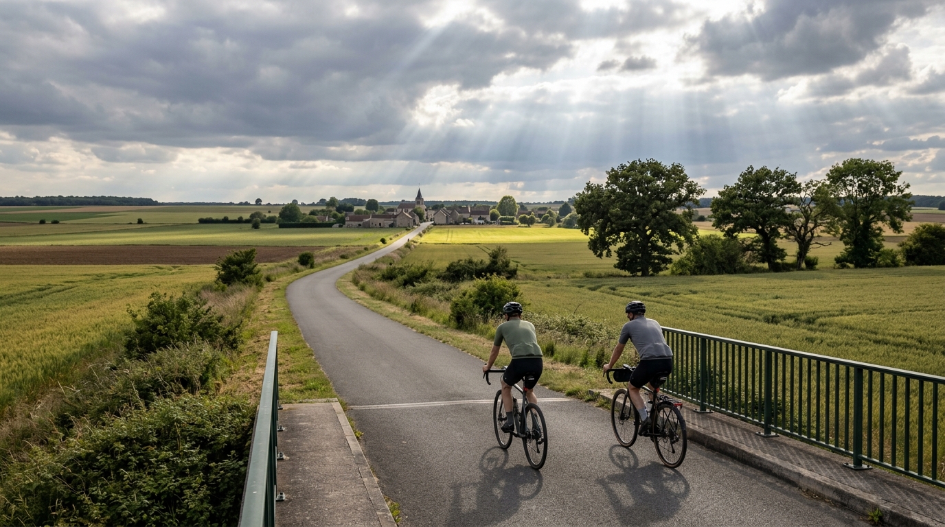
Île-de-France Vélo Line 4
A 131.9 km asphalt route with 358 m of elevation gain, built more around steady endurance pacing than climbing.
Route ansehen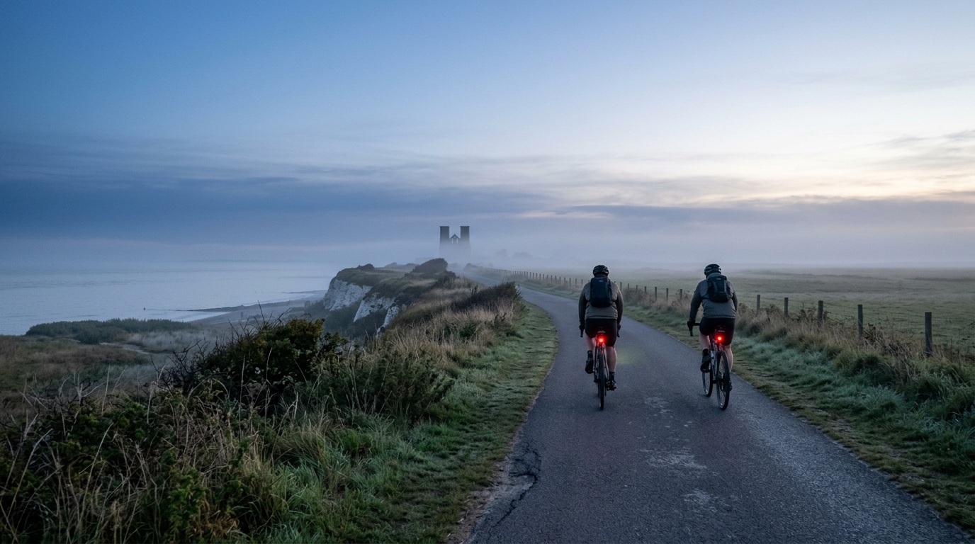
Viking Coastal Trail
A practical guide to the 117.2 km Viking Coastal Trail cycling route, an asphalt point-to-point ride with modest elevation gain.
Route ansehen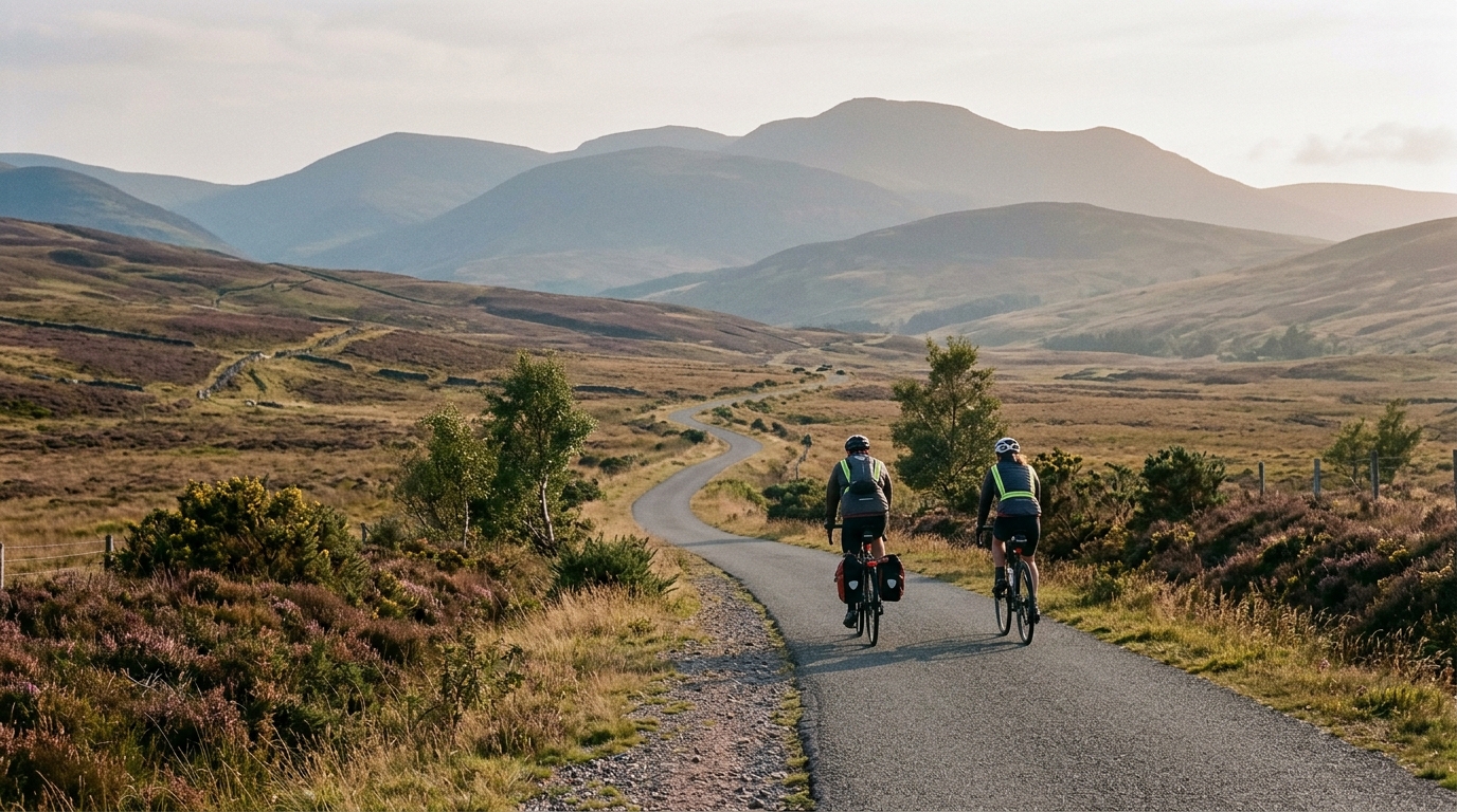
National Cycle Route 77
A practical guide to National Cycle Route 77, a 108.7 km asphalt point-to-point ride in GB with modest climbing and endurance-focused pacing.
Route ansehen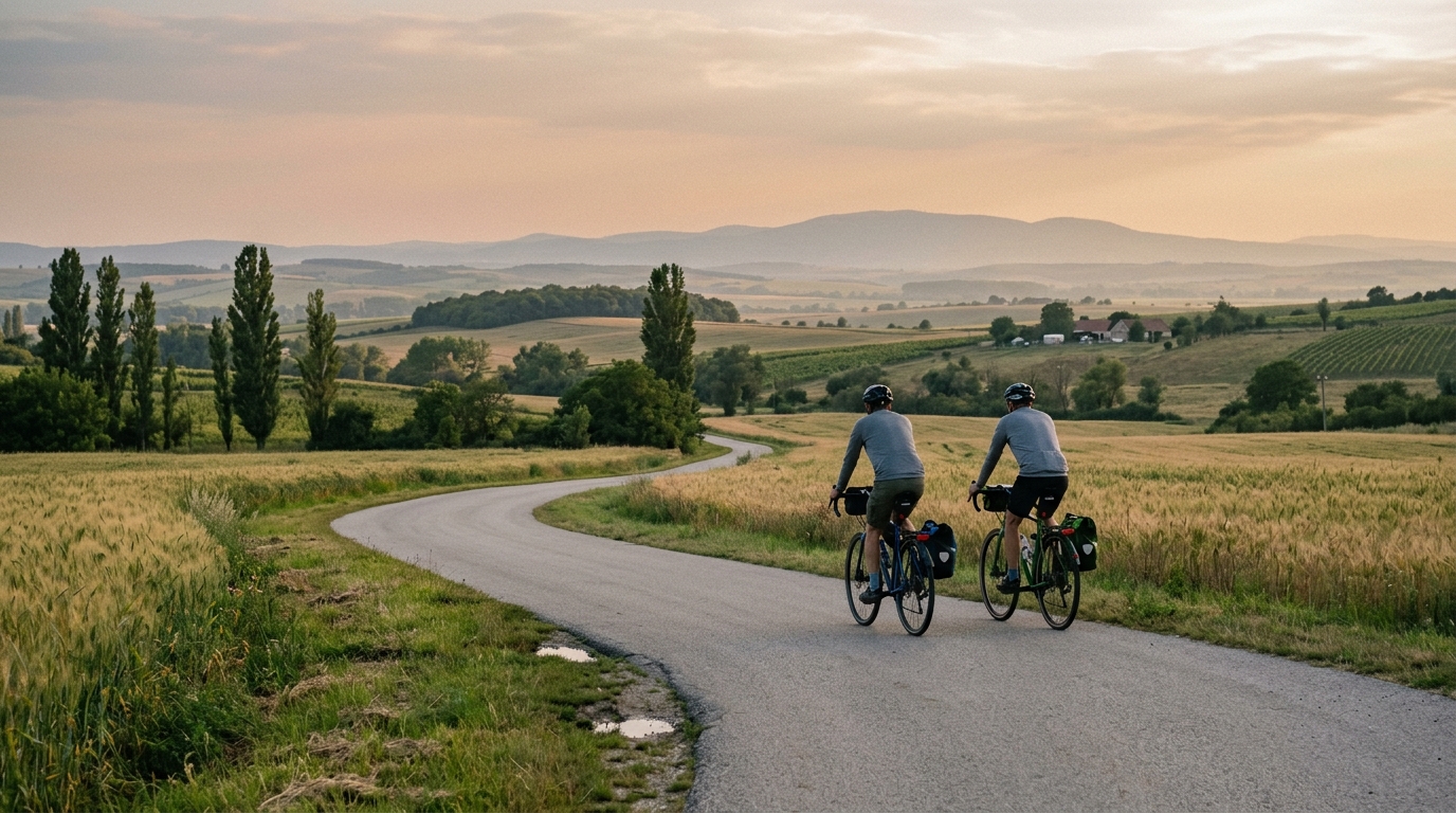
Budapest-Balaton cycle route
A practical route description for the Budapest-Balaton cycle route, a 108.5 km point-to-point asphalt ride with 589 m of elevation gain.
Route ansehen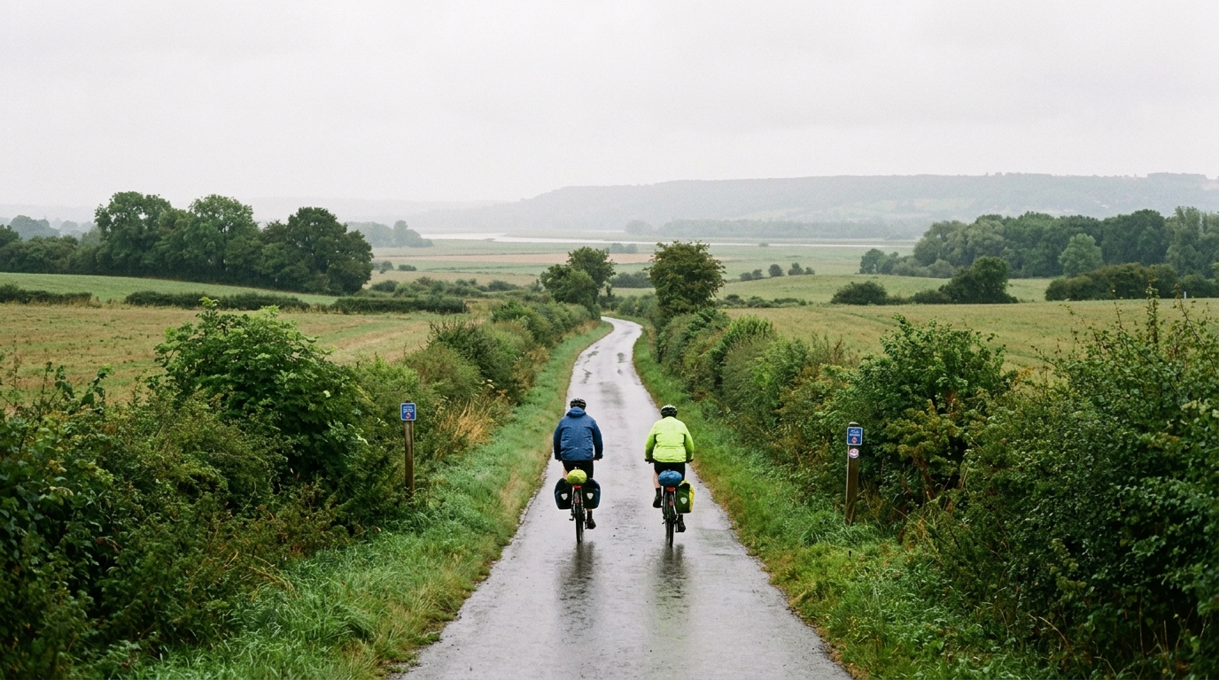
Regional Cycle Route 41
A practical guide to Regional Cycle Route 41, a 99.7 km asphalt point-to-point ride in GB with modest climbing and an endurance-focused profile.
Route ansehen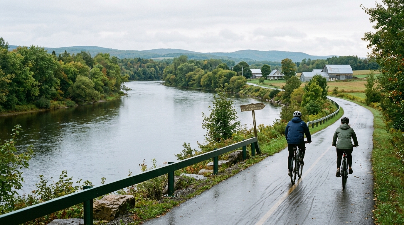
Véloroute de la Chaudière
An 85.7 km asphalt point-to-point route in Canada with just 137 m of gain, built more around steady endurance than climbing.
Route ansehen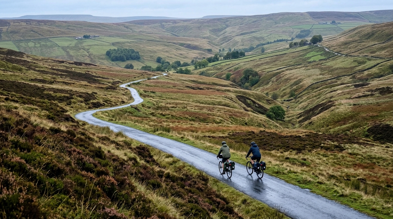
National Cycle Route 169
A practical guide to National Cycle Route 169, a 68.9 km asphalt point-to-point ride in GB with 273 m of elevation gain.
Route ansehen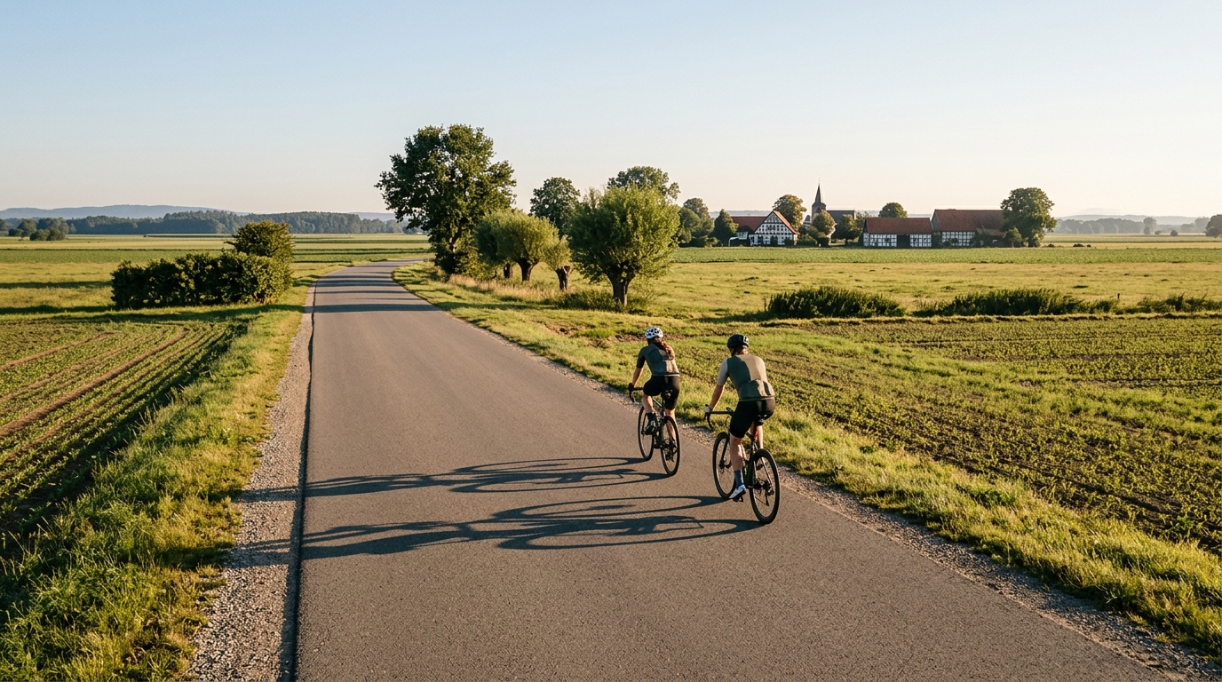
Fürst-Franz-Weg
A 68.8 km asphalt loop in Germany with just 128 m of elevation gain, built for steady pacing rather than climbing.
Route ansehen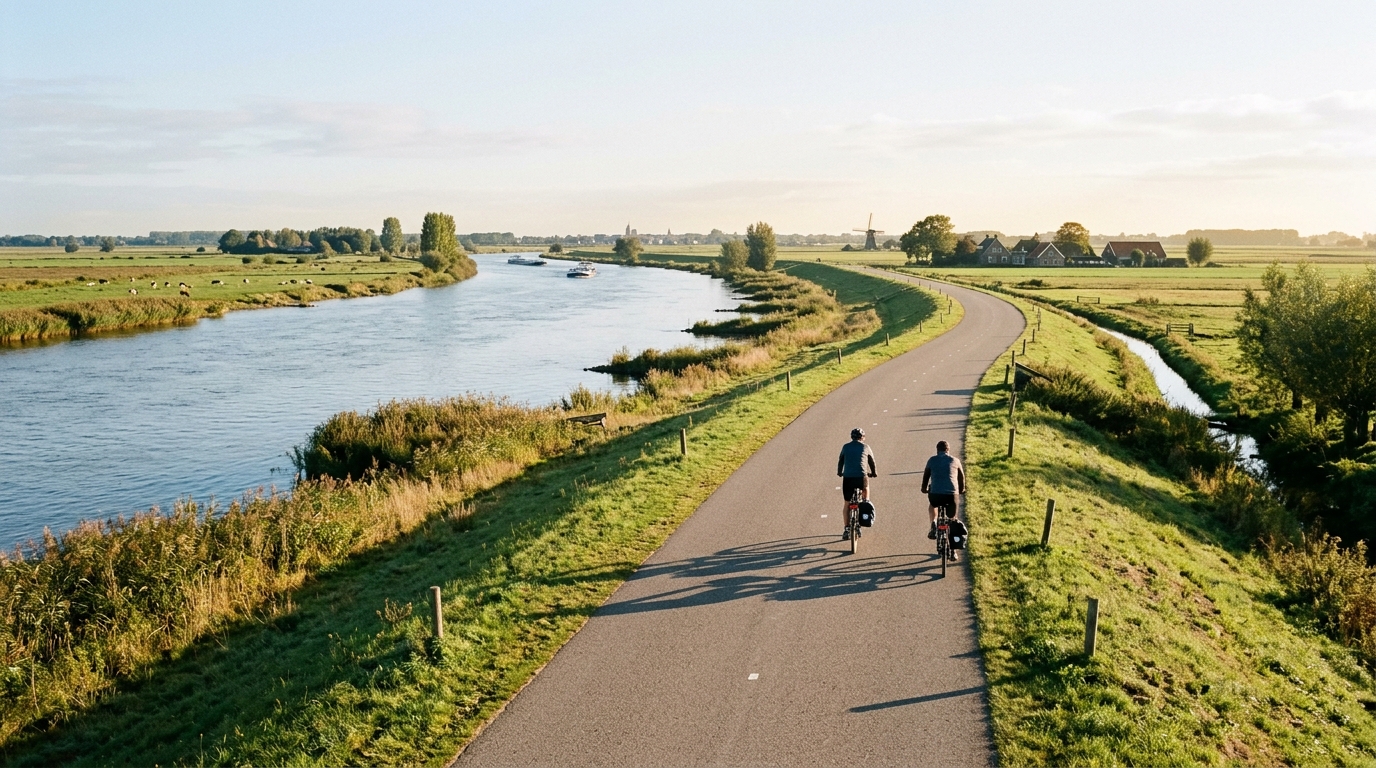
Maasroute
A 65.4 km asphalt point-to-point ride in the Netherlands with just 153 m of elevation gain, built for steady endurance rather than climbing.
Route ansehen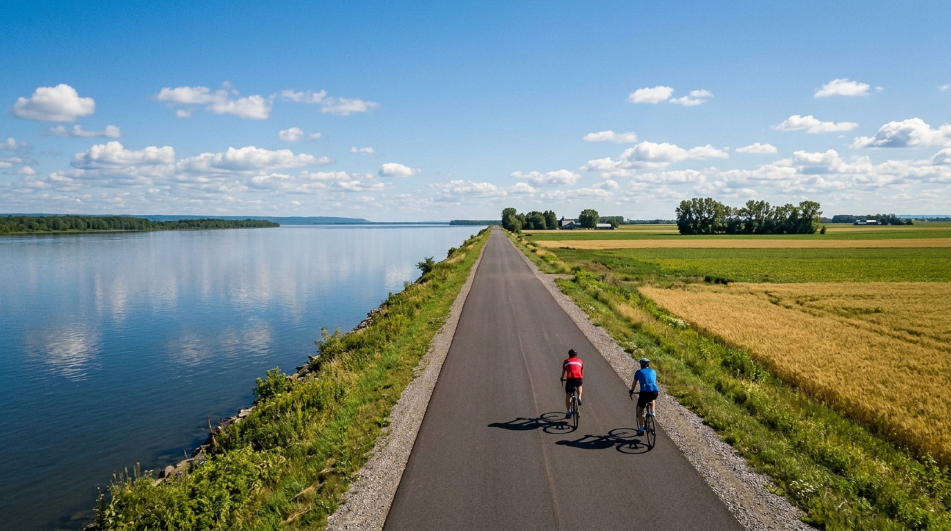
Véloroute Marie-Hélène-Prémont
A flat, paved 51.3 km Canadian route with just 60 m of gain, built more for steady rhythm than climbing drama.
Route ansehen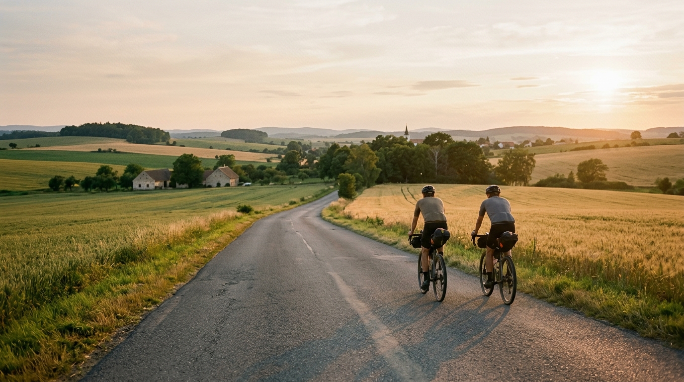
Cycling route 401
A 46.4 km asphalt point-to-point route in CZ with 469 m of climbing and no listed notable climbs.
Route ansehen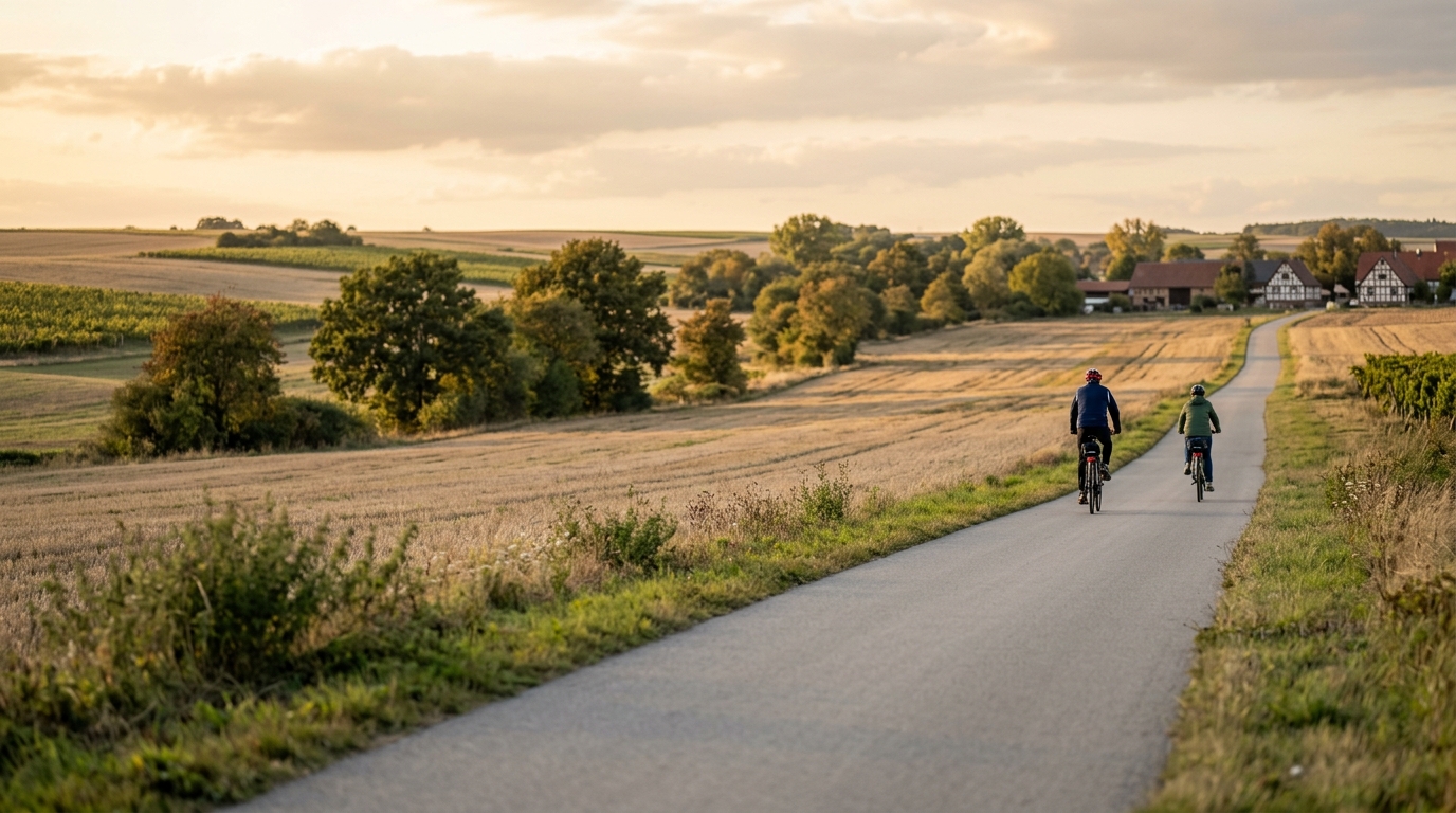
Appelbach-Radweg
A 42.5 km asphalt point-to-point route with 286 m of gain, the Appelbach-Radweg is steady, controlled, and better suited to rhythm than climbing drama.
Route ansehen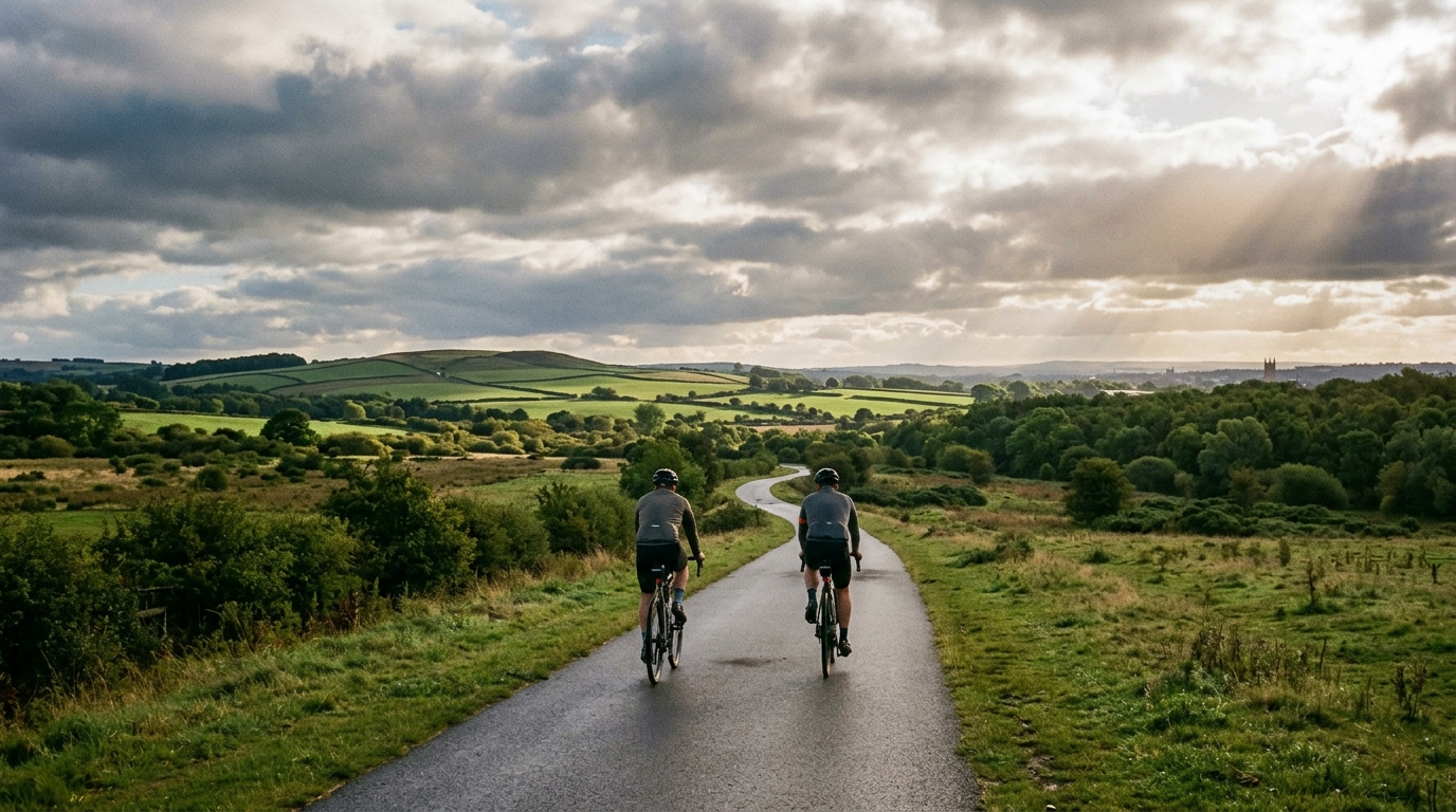
Wonders of Wakefield
A 37.6 km asphalt route in GB with 142 m of elevation gain, best read as a steady, low-climbing point-to-point ride rather than a hill-focused test.
Route ansehen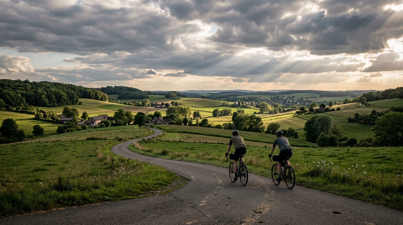
Heuvelland-Fietsroute
A 36.1 km asphalt point-to-point ride with 293 m of climbing, shaped more by repeated elevation changes than by one defining climb.
Route ansehen