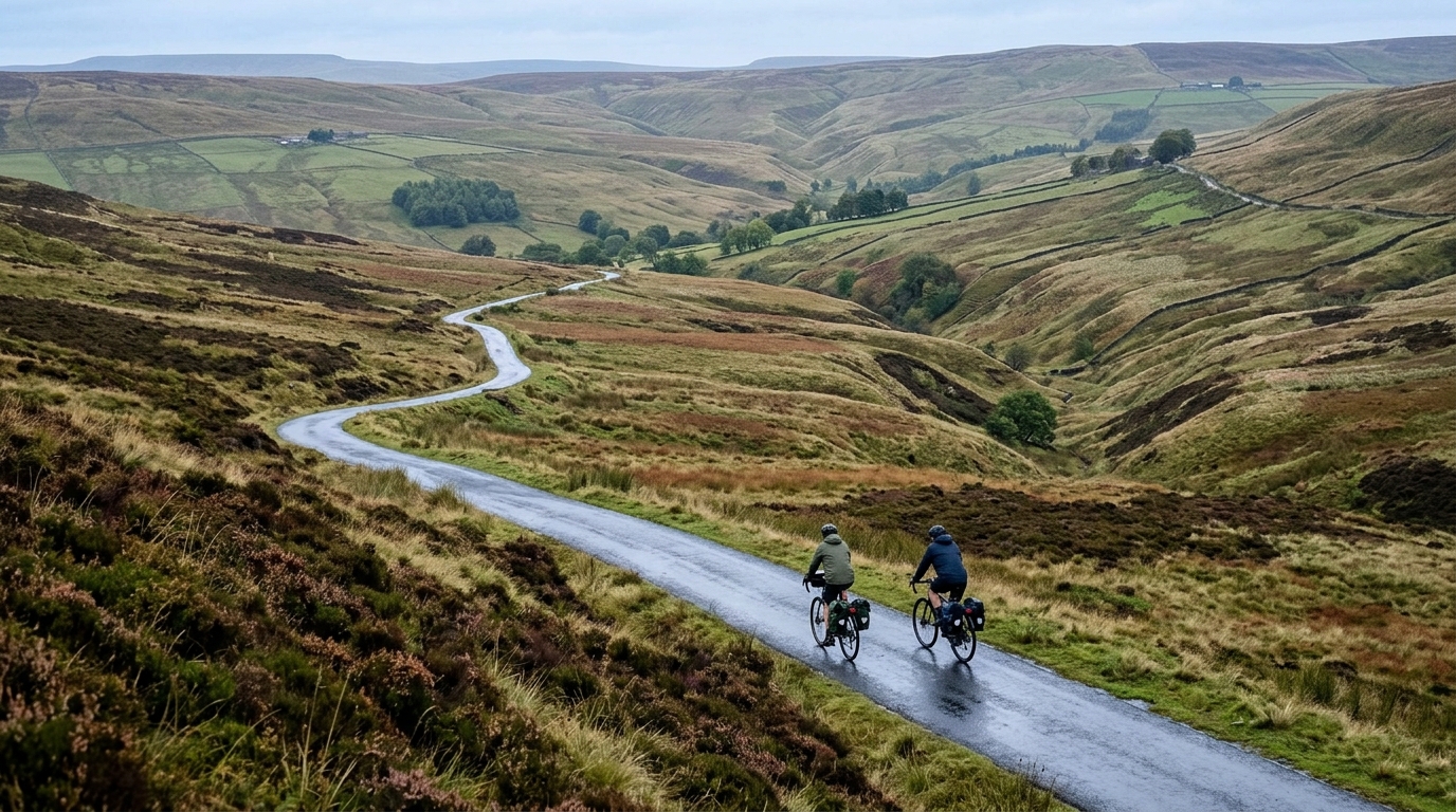
National Cycle Route 169
A practical guide to National Cycle Route 169, a 68.9 km asphalt point-to-point ride in GB with 273 m of elevation gain.
- Distance
- 68.9km
- Climbing
- 273m
- Surface
- —
- Shape
- Point-to-point
The route
Elevation profile
National Cycle Route 169 cycling route overview
National Cycle Route 169 is a 68.9 km asphalt route in GB with 273 m of elevation gain. The headline here is not a major climbing test. The profile, at least from the available stats, points toward a route where rhythm matters more than raw climbing ability.
Because it is not a loop, the biggest practical decision comes before the ride starts. This is a point-to-point effort, so the logistics matter: how you get to the start, what you do at the finish, and whether you build in a return leg are all part of the day. Treating it like a simple out-and-back without planning would change the character of the ride substantially.
Terrain and ride character
The route is listed as asphalt, which should make it well-suited to a road bike, endurance bike, or any setup built for efficient rolling on sealed surfaces. The lack of notable climbs in the supplied data reinforces the sense that this is not a route defined by one decisive ascent. Instead, the cumulative 273 m of elevation gain across 68.9 km suggests a steadier, lower-gradient day where small changes in terrain can still affect pacing but should not dominate the ride.
That matters tactically. On a flatter or gently rolling route, it is easy to ride slightly too hard early because there is no obvious climb forcing restraint. The smarter approach is to hold a controlled endurance intensity, keep the pressure smooth, and avoid turning every rise or exposed section into a surge. If you ride with power, this is the kind of route where staying disciplined around /glossary/ftp can make the back end feel very different from the front.
How to pace it
For most riders, the key is not surviving the elevation. It is managing the total distance. A 68.9 km ride is long enough that small mistakes compound: skipped fueling, repeated accelerations, or riding above sustainable effort too often can all show up late.
A sensible structure is:
- Start conservatively and let the route settle before lifting the effort
- Keep cadence and pressure smooth on any rolling sections
- Fuel before you feel flat, not after the effort has already caught up
- Save harder riding for the final portion if the legs are still responding
Practical notes
Because the route is point-to-point, check transport, parking, and finish options before committing. The available data does not identify specific towns, services, or resupply points, so do not assume food or water will appear at the right moment. Carry enough for the full ride unless you have verified stops separately.
National Cycle Route 169 looks best treated as a steady endurance route on asphalt: not a climbing showcase, not a technical mixed-surface test, but a useful distance ride where pacing, planning, and consistency decide how good the day feels.
Related routes
3-Länder-Radweg
A 302.2 km asphalt route in Germany with 1512 m of climbing and point-to-point logistics shaped by the Reußenkreuz climb.
7 Peaks Alpine Challenge
A 110.9 km point-to-point assault through the Victorian Alps, stacking 3404 metres of climbing across relentless, wind-swept high-country ascents.
Aberdare Range
A 46 km asphalt point-to-point through Kenya's Central Highlands that trades big climbs for a relentless 1,700 m of rolling grind.
Abra Málaga
A 45-kilometer point-to-point ribbon of asphalt through Peru's Sacred Valley, climbing 1,699 relentless meters into the high Andes.
Afriski Mahlasela Pass
A 112.8 km asphalt ascent through the Maloti Mountains, climbing 3,384 m to the roof of southern Africa via the storied Mahlasela Pass.
Ahr Cycleway
An 82.9 km asphalt point-to-point route with 541 m of gain, the Ahr Cycleway is a steady endurance ride rather than a climb-focused day.