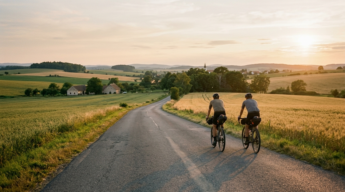
Cycling route 401
A 46.4 km asphalt point-to-point route in CZ with 469 m of climbing and no listed notable climbs.
- Distance
- 46.4km
- Climbing
- 469m
- Surface
- —
- Shape
- Point-to-point
The route
Elevation profile
Cycling route 401 cycling route overview
Cycling route 401 is a 46.4 km asphalt ride in CZ with 469 m of elevation gain. The key detail is that it is not a loop, so the route needs to be treated as a point-to-point outing rather than a simple roll-out-and-return day.
That changes the practical side of the ride. Before thinking about effort, think about logistics: how you get to the start, how you leave the finish, and whether you want to reverse the route or add a separate return leg. On a loop, a pacing mistake usually just makes the final section unpleasant. On a non-loop route, it can also complicate timing, transport, and daylight.
Terrain and ride character
The surface is asphalt, which makes this a road-focused route and keeps equipment choice straightforward. A standard road bike setup is the natural fit, with tyre choice guided more by comfort and local conditions than by the need for mixed-surface capability.
The 469 m of elevation gain across 46.4 km gives the route enough climbing to shape the ride, but the context does not list any notable climbs. That usually points to a route where the cumulative load matters more than one decisive ascent. The danger is not a single climb that obviously demands respect. It is the repeated cost of small gradients, accelerations, and terrain changes that can gradually pull the ride above the effort you intended.
That makes pacing important. Riders using /glossary/ftp as a reference should avoid treating the early kilometres like a flat transfer, because the total climbing still has to be paid for. If the goal is endurance, keep the pressure controlled on rises and avoid spiking power just to hold speed. If the goal is a sharper ride, the route gives enough elevation to make short sustained efforts useful without needing a major climb.
Practical notes
Plan Cycling route 401 as a point-to-point ride first and a workout second. The non-loop format is the defining logistical constraint.
Key checks before riding:
- Confirm start and finish transport, since the route does not return to its start.
- Carry enough food and fluid for the full 46.4 km rather than assuming an easy bail-out.
- Pace the climbing early, as the 469 m of gain can accumulate quietly.
- Use a road-appropriate setup for asphalt, while still checking conditions before departure.
Who it suits
This route suits riders who want a manageable road distance with enough elevation to keep the ride engaged. It is not presented as a climb-focused route, but it is also not a pure flat spin. The best approach is steady, efficient riding: stay patient on the rises, keep momentum where the terrain allows, and let the route’s cumulative gain do the training work.
Related routes
3-Länder-Radweg
A 302.2 km asphalt route in Germany with 1512 m of climbing and point-to-point logistics shaped by the Reußenkreuz climb.
7 Peaks Alpine Challenge
A 110.9 km point-to-point assault through the Victorian Alps, stacking 3404 metres of climbing across relentless, wind-swept high-country ascents.
Aberdare Range
A 46 km asphalt point-to-point through Kenya's Central Highlands that trades big climbs for a relentless 1,700 m of rolling grind.
Abra Málaga
A 45-kilometer point-to-point ribbon of asphalt through Peru's Sacred Valley, climbing 1,699 relentless meters into the high Andes.
Afriski Mahlasela Pass
A 112.8 km asphalt ascent through the Maloti Mountains, climbing 3,384 m to the roof of southern Africa via the storied Mahlasela Pass.
Ahr Cycleway
An 82.9 km asphalt point-to-point route with 541 m of gain, the Ahr Cycleway is a steady endurance ride rather than a climb-focused day.