🇻🇳 Atlas
Vietnam
Jeder Anstieg, jedes Rennen und jede Route, die wir für Vietnam führen – auf einer Karte.
- Anstiege
- 11
- Höchster Gipfel
- 2005m· Đèo Trạm Tôn
- Routen
- 2
13 von allem, was wir hier gesammelt haben. Tippe auf einen Pin, um ihn zu öffnen.
Regionen in Vietnam
Das Terrain von Vietnam
Jeder erfasste Anstieg im Land, dargestellt danach, wie lang er ist und wie hart er zubeißt.
Schwierigkeitsmix
- Kat. 1
- 3
- Kat. 2
- 2
- Kat. 3
- 5
- Kat. 4
- 1
Länge nach Steigung
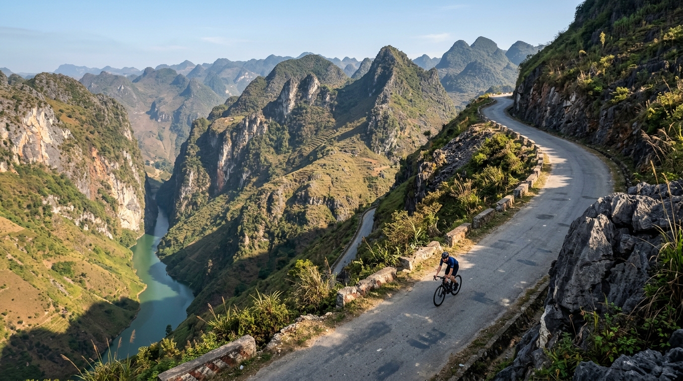
Vietnam packs its cycling into six catalogued climbs that trade brute steepness for atmosphere, threading roads through mist, jungle and dramatic river gorges. None reach hors catégorie, but the country still climbs high: the summit road tops out at 2,005 metres, where cool mountain air rewards the long grind up. Đèo Trạm Tôn crowns the collection as the highest of the lot, a sweeping ascent that pulls riders toward the country's loftiest passes.
Elsewhere the character shifts with the terrain. Mã Pí Lèng Pass carves along vertiginous limestone cliffs, while Ngoạn Mục Pass and Đèo Prenn climb toward the highlands on switchbacking ramps. Nearer the coast, Cù Mông Pass and Cả Pass offer shorter, punchier tests linking sea-level roads to breezy summits. Together these six climbs make Vietnam a varied playground where every ascent frames a different landscape.