🇻🇳 Atlas
Vietnam
Ogni salita, gara e percorso che catalogiamo in Vietnam, su un'unica mappa.
- Salite
- 11
- Vetta più alta
- 2005m· Đèo Trạm Tôn
- Percorsi
- 2
13 di tutto quello che abbiamo qui. Tocca un pin per aprirlo.
Regioni in Vietnam
Il terreno di Vietnam
Ogni salita catalogata nel paese, mostrata in base a quanto è lunga e quanto morde in pendenza.
Distribuzione delle difficoltà
- Cat. 1
- 3
- Cat. 2
- 2
- Cat 3
- 5
- Cat 4
- 1
Lunghezza rispetto alla pendenza
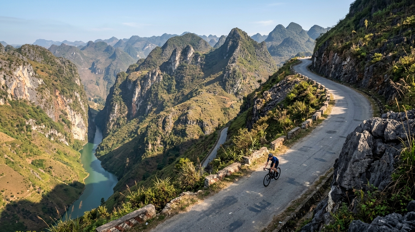
Vietnam packs its cycling into six catalogued climbs that trade brute steepness for atmosphere, threading roads through mist, jungle and dramatic river gorges. None reach hors catégorie, but the country still climbs high: the summit road tops out at 2,005 metres, where cool mountain air rewards the long grind up. Đèo Trạm Tôn crowns the collection as the highest of the lot, a sweeping ascent that pulls riders toward the country's loftiest passes.
Elsewhere the character shifts with the terrain. Mã Pí Lèng Pass carves along vertiginous limestone cliffs, while Ngoạn Mục Pass and Đèo Prenn climb toward the highlands on switchbacking ramps. Nearer the coast, Cù Mông Pass and Cả Pass offer shorter, punchier tests linking sea-level roads to breezy summits. Together these six climbs make Vietnam a varied playground where every ascent frames a different landscape.