🇻🇳 Atlas
Viêt Nam
Chaque ascension, course et itinéraire que nous recensons en Viêt Nam, sur une seule carte.
- Cols
- 11
- Plus haut sommet
- 2005m· Đèo Trạm Tôn
- Parcours
- 2
13 sur tout ce que nous avons répertorié ici. Appuie sur un repère pour l'ouvrir.
Régions de Viêt Nam
Le terrain de Viêt Nam
Chaque montée répertoriée du pays, positionnée selon sa longueur et sa pente.
- Plus haut sommet
- 2005m
- Đèo Trạm Tôn
- Montée la plus longue
- 28.6km
- Đèo Trạm Tôn
- Ascension la plus raide
- 9%
- Khau Phạ Pass
Répartition des difficultés
- Cat. 1
- 3
- Cat. 2
- 2
- Cat 3
- 5
- Cat 4
- 1
Longueur en fonction du dénivelé
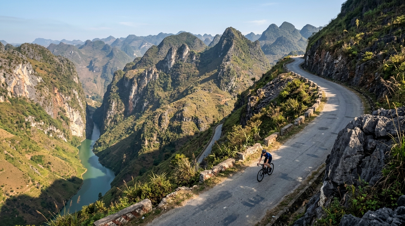
Vietnam packs its cycling into six catalogued climbs that trade brute steepness for atmosphere, threading roads through mist, jungle and dramatic river gorges. None reach hors catégorie, but the country still climbs high: the summit road tops out at 2,005 metres, where cool mountain air rewards the long grind up. Đèo Trạm Tôn crowns the collection as the highest of the lot, a sweeping ascent that pulls riders toward the country's loftiest passes.
Elsewhere the character shifts with the terrain. Mã Pí Lèng Pass carves along vertiginous limestone cliffs, while Ngoạn Mục Pass and Đèo Prenn climb toward the highlands on switchbacking ramps. Nearer the coast, Cù Mông Pass and Cả Pass offer shorter, punchier tests linking sea-level roads to breezy summits. Together these six climbs make Vietnam a varied playground where every ascent frames a different landscape.