🇻🇳 Atlas
Vijetnam
Svaki uspon, trka i ruta koje čuvamo u Vijetnam, na jednoj mapi.
- Usponi
- 11
- Najviši vrh
- 2005m· Đèo Trạm Tôn
- Rute
- 2
13 od svega što imamo ovde. Dodirni oznaku da je otvoriš.
Regioni u Vijetnam
Teren Vijetnam
Svaki katalogizovan uspon u zemlji, prikazan prema tome koliko je dug i koliko je strm.
Struktura težine
- Kat. 1
- 3
- Kat. 2
- 2
- Kat. 3
- 5
- Kat. 4
- 1
Dužina u odnosu na nagib
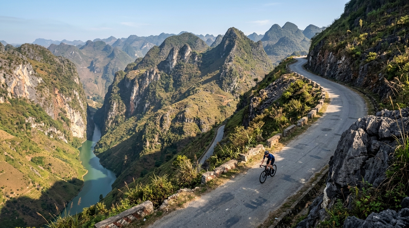
Vietnam packs its cycling into six catalogued climbs that trade brute steepness for atmosphere, threading roads through mist, jungle and dramatic river gorges. None reach hors catégorie, but the country still climbs high: the summit road tops out at 2,005 metres, where cool mountain air rewards the long grind up. Đèo Trạm Tôn crowns the collection as the highest of the lot, a sweeping ascent that pulls riders toward the country's loftiest passes.
Elsewhere the character shifts with the terrain. Mã Pí Lèng Pass carves along vertiginous limestone cliffs, while Ngoạn Mục Pass and Đèo Prenn climb toward the highlands on switchbacking ramps. Nearer the coast, Cù Mông Pass and Cả Pass offer shorter, punchier tests linking sea-level roads to breezy summits. Together these six climbs make Vietnam a varied playground where every ascent frames a different landscape.