Indien

🇮🇳 Atlas

Indien

Jeder Anstieg, jedes Rennen und jede Route, die wir für Indien führen – auf einer Karte.

Anstiege
61
Höchster Gipfel
5710m· Mig La
Routen
1

62 von allem, was wir hier gesammelt haben. Tippe auf einen Pin, um ihn zu öffnen.

Regionen in Indien

Das Terrain von Indien

Jeder erfasste Anstieg im Land, dargestellt danach, wie lang er ist und wie hart er zubeißt.

Höchster Gipfel
5710m
Mig La
Längster Anstieg
91.1km
Anta Dhura Pass
Steilster Anstieg
13.7%
Borasu Pass

Schwierigkeitsmix

HC
26
Kat. 1
15
Kat. 2
10
Kat. 3
8
Kat. 4
2

Länge nach Steigung

0% 5% 10% 15% 0255075100Länge (km)Nathu La — 58.7 km, 5%, 3010 m Karakoram Pass — 2.8 km, 6.2%, 152 m Karakoram Pass — 2.6 km, 6.8%, 160 m Khardung La — 34.4 km, 6.2%, 2088 m Zojila Pass — 10.6 km, 5.8%, 587 m Rohtang Pass — 21.9 km, 9.1%, 1972 m Jelep La — 59.4 km, 5.7%, 3457 m Changla Pass — 40.4 km, 5.1%, 2035 m Lipulekh Pass — 27.7 km, 6.8%, 1832 m Shingo La Pass — 20.2 km, 5.8%, 1145 m Shingo La Pass — 18.4 km, 6.3%, 1145 m Pensi La Pass — 10.8 km, 4%, 425 m Taglang La — 30.3 km, 3.6%, 1079 m Lungalacha La — 19.8 km, 4.1%, 785 m Mana Pass — 14.6 km, 3.7%, 492 m Bara-lacha la — 28.9 km, 3.9%, 1114 m Fotu La — 21.7 km, 4.7%, 998 m Kunzum Pass — 33.1 km, 3.1%, 1030 m Haldighati — 3.8 km, 3.1%, 94 m Sela Pass — 59.7 km, 4.4%, 2615 m Pir Panjal Pass — 41.1 km, 4.7%, 1912 m Kongka Pass — 6.4 km, 6.5%, 383 m Sia La — 5.9 km, 4.3%, 201 m Banihal Pass — 2.8 km, 7.3%, 138 m Bilafond La — 40.2 km, 3.6%, 1438 m Sasser Pass — 24.8 km, 4.6%, 1159 m Diphu Pass — 59.9 km, 5.3%, 2827 m Marsimik La — 24.5 km, 4.8%, 1144 m Namika La — 9 km, 6.7%, 582 m Naneghat — 5 km, 11.2%, 538 m Borasu Pass — 15.8 km, 13.7%, 2069 m Gyong La — 46.3 km, 3.1%, 1424 m Amboli Ghat — 15.6 km, 4.3%, 660 m Amba Ghat — 6.1 km, 5.3%, 295 m Pin Parvati Pass — 3.6 km, 4%, 129 m Mayodia Pass — 44 km, 4.7%, 2178 m Nama Pass — 35.5 km, 8%, 2809 m Goecha La — 19.9 km, 9.9%, 2024 m Cho La, Sikkim — 66 km, 4.5%, 3407 m Sinthan top — 34.2 km, 4.8%, 1629 m Varandha Ghat — 8.1 km, 6.1%, 480 m Malshej Ghat — 3.6 km, 9.7%, 330 m Anta Dhura Pass — 91.1 km, 4%, 3848 m Saach Pass — 45 km, 6.5%, 2879 m Hamta Pass — 40.5 km, 6.9%, 3129 m Tulung La — 26.3 km, 6.2%, 1613 m Ze La — 21.7 km, 6.8%, 1436 m Naku La — 16.8 km, 7.5%, 1236 m Bhaba Pass — 16.1 km, 11.7%, 1784 m Ganda La — 14.2 km, 11.8%, 1605 m Margan Top — 51.7 km, 3.8%, 2096 m Tamhini Ghat — 11.8 km, 5.9%, 644 m Katraj Ghat — 3.3 km, 8.5%, 155 m Parang La — 7.4 km, 5%, 336 m Debsa Pass — 47.9 km, 6.1%, 2849 m Razdan Pass — 37.3 km, 5%, 1842 m Milakatong La — 32.9 km, 6.1%, 2034 m Mig La — 40 km, 3.2%, 1247 m Gulaba — 18.6 km, 5.2%, 957 m Traill's Pass — 4.7 km, 12.8%, 553 m Thamarassery Churam — 2.2 km, 11.1%, 209 m
Die 61 markantesten Anstiege in Indien. Die Farbe zeigt die Kategorie; die beiden umkreisten Markierungen sind der längste und der steilste.

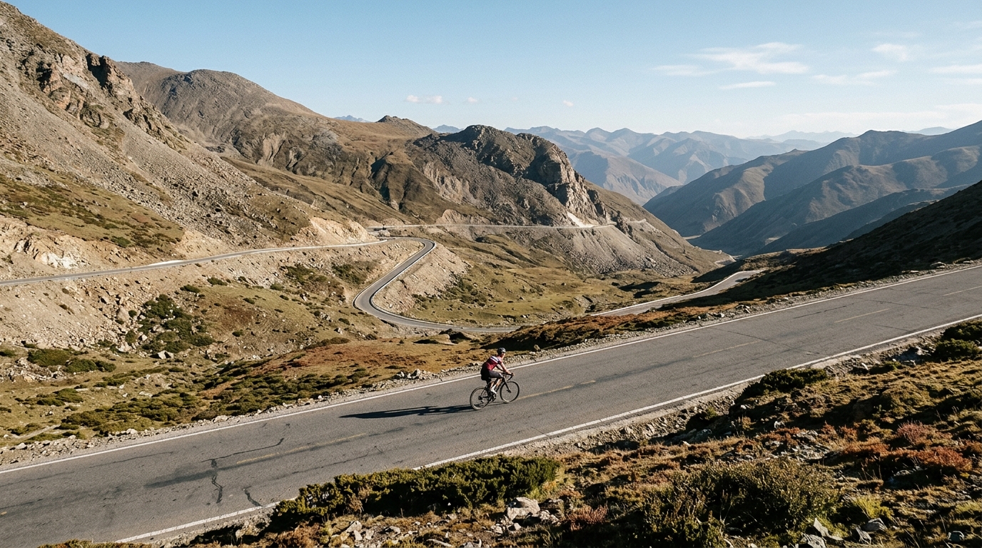
India is a destination for cyclists who measure a ride by the thinness of the air. Six catalogued climbs stretch legs and lungs alike, with the highest summit cresting at a staggering 5,360 metres. Three of the six carry the hors catégorie label, the sport's mark for ascents so long and so steep they sit beyond ordinary classification. These are roads that climb into the sky rather than merely up a hillside, rewarding patience, acclimatisation, and a deep respect for altitude.

The names alone hint at the scale of the challenge. Khardung La and the Karakoram Pass headline the collection, joined by Changla Pass, Rohtang Pass, Shingo La Pass, and Zojila Pass. Each offers its own blend of gradient, exposure, and thin mountain air, making India a proving ground for riders chasing the highest paved roads on earth. For anyone drawn to extreme elevation, this small but formidable set of climbs is hard to match.