🇮🇳 Atlas
Inde
Chaque ascension, course et itinéraire que nous recensons en Inde, sur une seule carte.
- Cols
- 61
- Plus haut sommet
- 5710m· Mig La
- Parcours
- 1
62 sur tout ce que nous avons répertorié ici. Appuie sur un repère pour l'ouvrir.
Régions de Inde
Le terrain de Inde
Chaque montée répertoriée du pays, positionnée selon sa longueur et sa pente.
- Plus haut sommet
- 5710m
- Mig La
- Montée la plus longue
- 91.1km
- Anta Dhura Pass
- Ascension la plus raide
- 13.7%
- Borasu Pass
Répartition des difficultés
- HC
- 26
- Cat. 1
- 15
- Cat. 2
- 10
- Cat 3
- 8
- Cat 4
- 2
Longueur en fonction du dénivelé
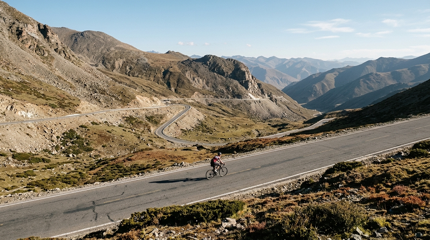
India is a destination for cyclists who measure a ride by the thinness of the air. Six catalogued climbs stretch legs and lungs alike, with the highest summit cresting at a staggering 5,360 metres. Three of the six carry the hors catégorie label, the sport's mark for ascents so long and so steep they sit beyond ordinary classification. These are roads that climb into the sky rather than merely up a hillside, rewarding patience, acclimatisation, and a deep respect for altitude.
The names alone hint at the scale of the challenge. Khardung La and the Karakoram Pass headline the collection, joined by Changla Pass, Rohtang Pass, Shingo La Pass, and Zojila Pass. Each offers its own blend of gradient, exposure, and thin mountain air, making India a proving ground for riders chasing the highest paved roads on earth. For anyone drawn to extreme elevation, this small but formidable set of climbs is hard to match.