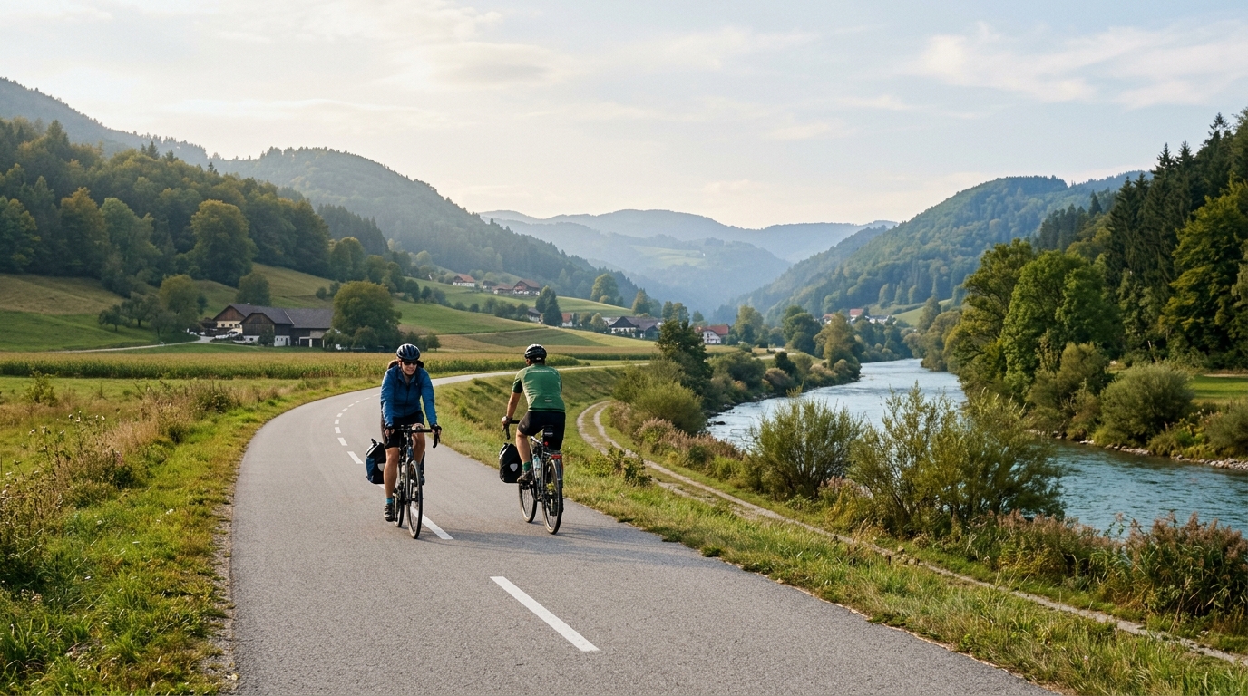
Ybbstal valley bike path
A 108.4 km asphalt point-to-point route in Austria with 583 m of gain, built for steady endurance rather than decisive climbing.
- Distanz
- 108.4km
- Höhenmeter
- 583m
- Untergrund
- —
- Form
- Punkt-zu-Punkt
Die Route
Höhenprofil
Route character
The Ybbstal valley bike path cycling route is a long asphalt point-to-point ride in Austria, covering 108.4 km with 583 m of elevation gain. That combination defines the day more than any single feature: this is not a route built around a major climb, and the context lists no notable climbs. Instead, the challenge is duration, rhythm, and keeping the effort controlled across a full-distance ride.
The low climbing load relative to the distance points toward steady endurance riding rather than repeated threshold efforts. On a route like this, the fastest approach is usually the least dramatic one: settle early, avoid unnecessary surges, and let the surface and terrain reward consistency. The asphalt surface should make bike choice straightforward, with road, endurance, all-road, or fast hybrid setups all making sense depending on position, tyre preference, and luggage needs.
Terrain and pacing
With 583 m of gain spread across 108.4 km, the route should feel more like a rolling valley ride than a climbing objective. That does not make it automatic. Long routes with modest climbing can still become hard if the opening effort is too sharp, because the absence of big climbs makes it easy to ride above endurance pace without noticing.
Use effort as the governor. If riding with power, keep the bulk of the day below the point where the ride starts to accumulate fatigue quickly. For riders using FTP, this is the kind of course where disciplined aerobic pacing matters more than peak numbers. If riding by feel, the right intensity should be sustainable, conversational, and repeatable after several hours.
The absence of listed notable climbs also changes the tactical shape of the ride. There is no obvious single crux to save everything for, so energy management needs to be spread evenly. Eat before the route feels hard, drink before thirst becomes the limiter, and avoid treating small rises as attacks. The route profile rewards patience.
Practical notes
Because this is not a loop, logistics are part of the ride plan. A point-to-point route means the finish is not the start, so transport, pickup, or a deliberate return plan needs to be sorted before rolling out. Turning it into an out-and-back would fundamentally change the day and should not be treated as the same route.
The asphalt surface keeps the equipment brief simple, but the distance still argues for a proper endurance setup. Prioritise comfort, reliable tyres, and enough carrying capacity for food, tools, and layers. Over 108.4 km, small fit issues and under-fuelling become performance limiters long before the terrain does.
Who it suits
This route suits riders who want a long, controlled endurance day on asphalt without making climbing the headline. It is well matched to steady base riding, aerobic conditioning, and riders building confidence over longer distances. The key is not conquering a summit. It is staying efficient from start to finish.
Ähnliche Routen
3-Länder-Radweg
A 302.2 km asphalt route in Germany with 1512 m of climbing and point-to-point logistics shaped by the Reußenkreuz climb.
7 Peaks Alpine Challenge
A 110.9 km point-to-point assault through the Victorian Alps, stacking 3404 metres of climbing across relentless, wind-swept high-country ascents.
Aberdare Range
A 46 km asphalt point-to-point through Kenya's Central Highlands that trades big climbs for a relentless 1,700 m of rolling grind.
Abra Málaga
A 45-kilometer point-to-point ribbon of asphalt through Peru's Sacred Valley, climbing 1,699 relentless meters into the high Andes.
Afriski Mahlasela Pass
A 112.8 km asphalt ascent through the Maloti Mountains, climbing 3,384 m to the roof of southern Africa via the storied Mahlasela Pass.
Ahr Cycleway
An 82.9 km asphalt point-to-point route with 541 m of gain, the Ahr Cycleway is a steady endurance ride rather than a climb-focused day.