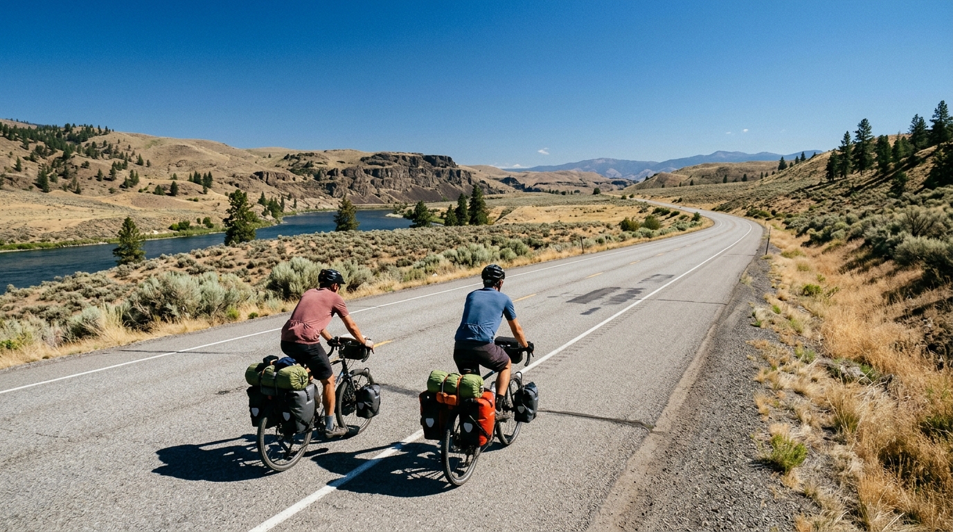
U.S. Bicycle Route 97 in Washington
A practical guide to U.S. Bicycle Route 97 in Washington, a 192 km asphalt point-to-point route with 1071 m of climbing.
- Distanz
- 192km
- Höhenmeter
- 1,071m
- Untergrund
- —
- Form
- Punkt-zu-Punkt
Die Route
Höhenprofil
U.S. Bicycle Route 97 in Washington cycling route
U.S. Bicycle Route 97 in Washington is a long asphalt point-to-point ride that asks for steady pacing more than pure climbing firepower. At 192 km with 1071 m of elevation gain, the route has enough vertical load to matter, but the absence of listed notable climbs tells you the defining feature is not a single decisive ascent. The work is more likely to come through duration, repeated terrain changes, and the slow cost of staying on the pedals for a long day.
That makes this a route where the first half should feel almost too controlled. On a ride of this length, the biggest mistake is treating manageable gradients as permission to ride above your sustainable ceiling. The elevation gain is meaningful, but spread across the full distance it points toward an endurance problem rather than a climbing-stage problem. Ride it like a long aerobic effort, not a sequence of attacks.
Terrain and ride character
The confirmed surface is asphalt, so equipment choice can stay road-focused. This is not the place to overbuild the bike for rough surfaces based on the available route data. A road bike or endurance setup makes sense, with gearing chosen for comfort over pride. Even without named climbs, 1071 m of gain across 192 km can still punish a rider who runs too tall a gear and grinds every rise.
The non-loop format is one of the most important practical details. This is not a simple roll-from-home-and-return route unless you create your own transfer plan. Before thinking about watts, think about logistics: where the ride starts, where it ends, and how the rider and bike get back afterward. Point-to-point routes reward planning and expose gaps in it.
How to pace it
Use the distance as the main tactical cue. A 192 km ride is long enough that small pacing errors compound. If you use power, keep the early effort anchored below threshold and avoid chasing short surges unless the terrain forces them. If you need a benchmark for setting zones, start with FTP, then make the actual ride easier than your ego wants it to be.
The climbing should be treated as accumulated fatigue. Without a listed signature climb, the danger is underestimating the total work because no single section feels decisive. Stay smooth on every rise, keep cadence comfortable, and save the harder efforts for late in the route if you still have the legs.
Practical notes
For most riders, this route should be approached as a full-day endurance outing rather than a casual long ride. The asphalt surface keeps the technical demands straightforward, but the combination of 192 km, 1071 m of gain, and point-to-point logistics raises the execution cost.
Plan around three priorities:
- Sustained fueling from early in the ride, not only once fatigue appears
- Conservative pacing until the distance is well under control
- Transport or retrieval planning because the route is not a loop
The cleanest way to ride U.S. Bicycle Route 97 in Washington is to respect what the stats actually say. It is long, paved, and not defined by one major climb. That profile favors riders who can stay disciplined, fuel consistently, and keep producing steady endurance power long after the novelty of the start has worn off.
Ähnliche Routen
3-Länder-Radweg
A 302.2 km asphalt route in Germany with 1512 m of climbing and point-to-point logistics shaped by the Reußenkreuz climb.
7 Peaks Alpine Challenge
A 110.9 km point-to-point assault through the Victorian Alps, stacking 3404 metres of climbing across relentless, wind-swept high-country ascents.
Aberdare Range
A 46 km asphalt point-to-point through Kenya's Central Highlands that trades big climbs for a relentless 1,700 m of rolling grind.
Abra Málaga
A 45-kilometer point-to-point ribbon of asphalt through Peru's Sacred Valley, climbing 1,699 relentless meters into the high Andes.
Afriski Mahlasela Pass
A 112.8 km asphalt ascent through the Maloti Mountains, climbing 3,384 m to the roof of southern Africa via the storied Mahlasela Pass.
Ahr Cycleway
An 82.9 km asphalt point-to-point route with 541 m of gain, the Ahr Cycleway is a steady endurance ride rather than a climb-focused day.