🇵🇭 Atlas
Philippinen
Jeder Anstieg, jedes Rennen und jede Route, die wir für Philippinen führen – auf einer Karte.
- Anstiege
- 4
- Höchster Gipfel
- 1521m· Marcos Highway
- Routen
- 1
5 von allem, was wir hier gesammelt haben. Tippe auf einen Pin, um ihn zu öffnen.
Regionen in Philippinen
Das Terrain von Philippinen
Jeder erfasste Anstieg im Land, dargestellt danach, wie lang er ist und wie hart er zubeißt.
Schwierigkeitsmix
- Kat. 1
- 2
- Kat. 2
- 1
- Kat. 3
- 1
Länge nach Steigung
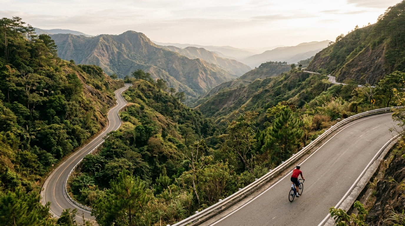
The Philippines rewards climbers who chase warm, tropical gradients, with three catalogued ascents that thread through the archipelago's rugged interior. None reach hors catégorie, but that hardly softens the challenge: the highest summit tops out at 1,521 metres, a long haul through humid air and shifting island light. Marquee efforts like Dalton Pass have long tested riders grinding upward toward cooler heights.
Each climb carries its own character. Marcos Highway sweeps skyward with a rhythm that suits patient legs, while Kitanglad offers a raw, remote pull for those willing to push deeper into the highlands. Together these three climbs make the Philippines an inviting destination for cyclists who prefer sustained gradients over sheer brutality, trading extreme steepness for length, atmosphere and the quiet reward of reaching a tropical summit.