🇵🇭 Atlas
Filipijnen
Elke klim, wedstrijd en route die we van Filipijnen bijhouden, op één kaart.
- Beklimmingen
- 4
- Hoogste top
- 1521m· Marcos Highway
- Routes
- 1
5 van alles wat we hier hebben. Tik op een pin om hem te openen.
Regio's in Filipijnen
Het terrein van Filipijnen
Elke gecatalogiseerde klim in het land, uitgezet op basis van hoe lang hij duurt en hoe hard hij bijt.
Moeilijkheidsverdeling
- Cat 1
- 2
- Cat 2
- 1
- Cat 3
- 1
Lengte tegenover helling
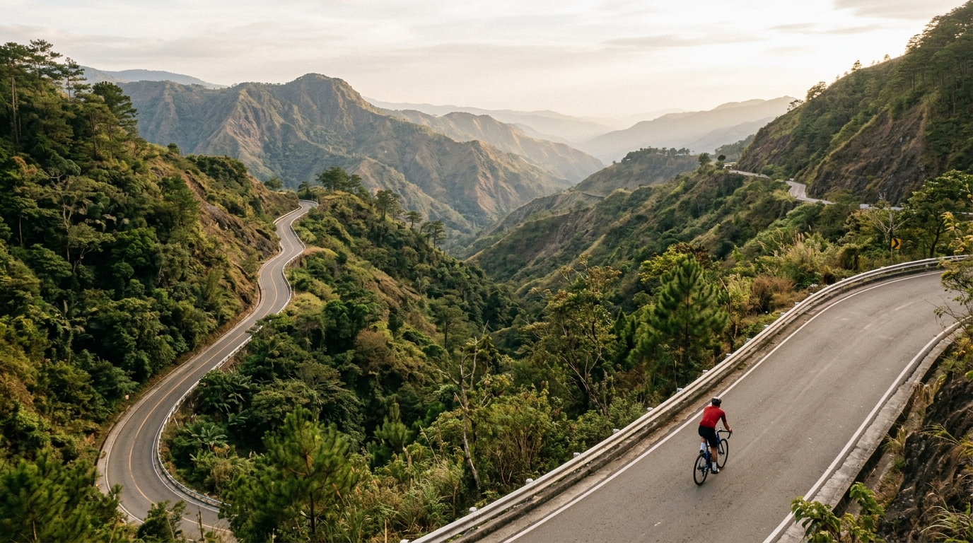
The Philippines rewards climbers who chase warm, tropical gradients, with three catalogued ascents that thread through the archipelago's rugged interior. None reach hors catégorie, but that hardly softens the challenge: the highest summit tops out at 1,521 metres, a long haul through humid air and shifting island light. Marquee efforts like Dalton Pass have long tested riders grinding upward toward cooler heights.
Each climb carries its own character. Marcos Highway sweeps skyward with a rhythm that suits patient legs, while Kitanglad offers a raw, remote pull for those willing to push deeper into the highlands. Together these three climbs make the Philippines an inviting destination for cyclists who prefer sustained gradients over sheer brutality, trading extreme steepness for length, atmosphere and the quiet reward of reaching a tropical summit.