Kanada

🇨🇦 Atlas

Kanada

Jeder Anstieg, jedes Rennen und jede Route, die wir für Kanada führen – auf einer Karte.

Anstiege
45
Höchster Gipfel
2902m· Abbot Pass
Rennen
2
Routen
6

53 von allem, was wir hier gesammelt haben. Tippe auf einen Pin, um ihn zu öffnen.

Das Terrain von Kanada

Jeder erfasste Anstieg im Land, dargestellt danach, wie lang er ist und wie hart er zubeißt.

Höchster Gipfel
2902m
Abbot Pass
Längster Anstieg
45.8km
Wolverine Pass
Steilster Anstieg
16.4%
Evelyn Pass

Schwierigkeitsmix

HC
5
Kat. 1
15
Kat. 2
9
Kat. 3
10
Kat. 4
6

Länge nach Steigung

0% 6% 12% 18% 013253850Länge (km)Athabasca Pass — 12.3 km, 7.9%, 997 m Rogers Pass — 10 km, 4.3%, 410 m Sunwapta Pass — 13.4 km, 3.9%, 501 m Allison Pass — 6.7 km, 4.5%, 440 m Abbot Pass — 31.1 km, 5.2%, 1702 m Coquihalla Pass — 16.5 km, 5.1%, 813 m Elk Pass — 3.8 km, 5.5%, 192 m Palliser Pass — 8 km, 3.3%, 243 m Heckman Pass — 7.6 km, 3%, 359 m Wedge Pass — 8.2 km, 12.2%, 944 m Tonquin Pass — 14.3 km, 6.5%, 891 m Deception Pass — 13 km, 6.6%, 821 m Simpson Pass — 12.1 km, 7.3%, 885 m Bush Pass — 5.9 km, 9.2%, 519 m McGregor Pass — 12.9 km, 4.2%, 527 m Railroad Pass — 6.6 km, 7.5%, 574 m Cayoosh Pass — 6.3 km, 7.1%, 471 m Sinclair Pass — 11.9 km, 3.2%, 742 m Highwood Pass — 8.1 km, 4.5%, 446 m Monkman Pass — 6.1 km, 3.3%, 187 m Grand Pacific Pass — 3.3 km, 5.4%, 176 m McGillivray Pass — 21.9 km, 7.3%, 1574 m Pulsatilla Pass — 10.4 km, 13.3%, 1358 m Evelyn Pass — 9.9 km, 16.4%, 1571 m Wolverine Pass — 45.8 km, 3.4%, 1591 m Bonanza Pass — 24.4 km, 4.2%, 1001 m Joss Pass — 15.9 km, 5.3%, 824 m Warner Pass — 10 km, 8.3%, 795 m Taylor Pass — 9 km, 7.4%, 617 m Mission Pass — 6.6 km, 8.9%, 556 m Tyoax Pass — 13.3 km, 5.1%, 625 m Galena Pass — 8 km, 5%, 380 m Griswold Pass — 7.9 km, 5.7%, 422 m Carcajou Pass — 7.4 km, 7%, 501 m Akamina Pass — 16.4 km, 3.4%, 532 m Richter Pass — 13 km, 3.1%, 595 m Kakwa Pass — 9.9 km, 4.1%, 398 m Monashee Pass — 6.5 km, 4.7%, 337 m Sifton Pass — 5.3 km, 6.1%, 107 m Metsantan Pass — 1.2 km, 7.5%, 46 m White Man Pass — 18.8 km, 5%, 918 m Fording River Pass — 10.3 km, 7.7%, 804 m South Kootenay Pass — 8 km, 9.8%, 725 m Kootenay Pass — 6.8 km, 5.7%, 448 m Muncho Pass — 6 km, 4%, 284 m
Die 45 markantesten Anstiege in Kanada. Die Farbe zeigt die Kategorie; die beiden umkreisten Markierungen sind der längste und der steilste.

Canada rewards riders who chase altitude and open horizons. With 10 catalogued climbs and a highest summit reaching 2,214 metres, the country trades brutal steepness for long, breathable ascents that unspool through mountain corridors and forested valleys. None of these climbs carry an hors catégorie rating, so the appeal here is rhythm and endurance rather than raw gradient — steady efforts that let you settle into a cadence and watch the landscape climb with you toward thin, cool air.

The marquee ascents read like a tour of the high country. Highwood Pass tops the list as the loftiest paved road, while Kootenay Pass and Sinclair Pass carve their own memorable lines through the ranges. Further afield, Heckman Pass, Railroad Pass, and Allison Pass round out a collection built for cyclists who prefer their suffering long and their summits earned. Together they make Canada a destination for patient climbers who savour the slow burn to the top.

Rennen in Kanada

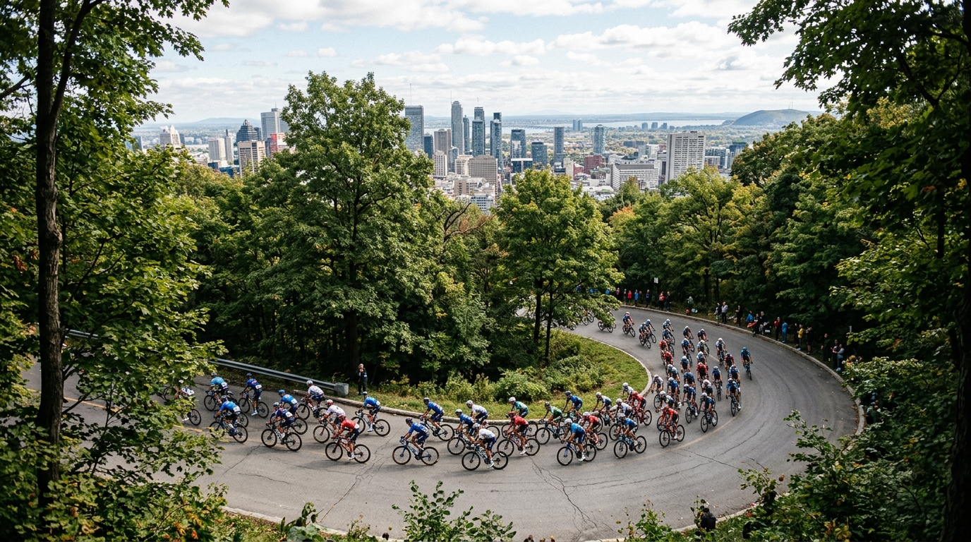
2 Rennen im Kalender und die Monate, in denen sie stattfinden.
J
F
M
A
M
J
J
A
S
O
N
D
Der komplette Rennkalender

Wo Radfahrer Halt machen