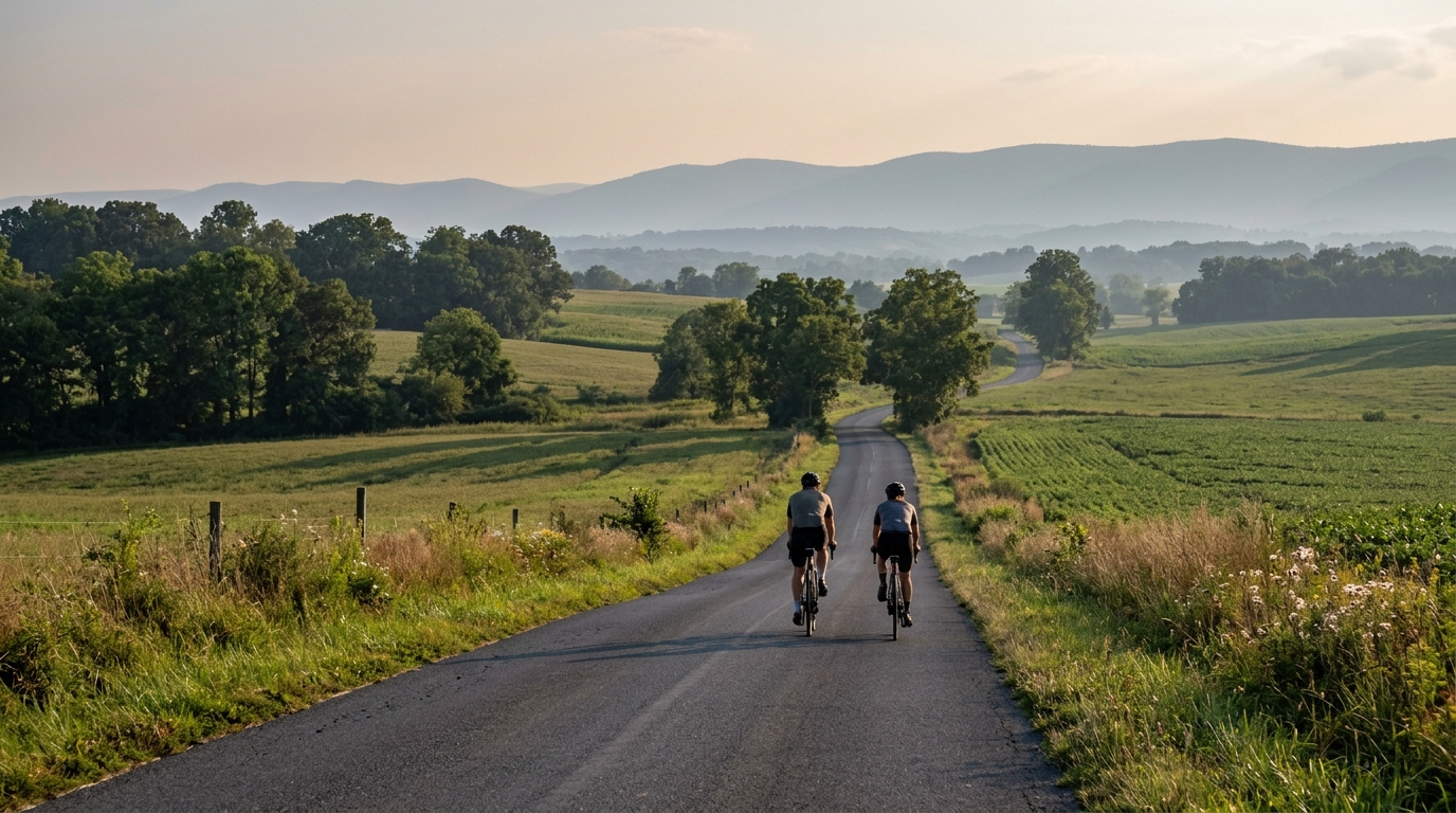
U.S. Bicycle Route 11 in Maryland
A practical guide to U.S. Bicycle Route 11 in Maryland, a 76.7 km asphalt point-to-point ride with 409 m of elevation gain.
- Distanca
- 76.7km
- Penjanje
- 409m
- Podloga
- —
- Oblik
- Od tačke do tačke
Ruta
Profil visine
Route character
U.S. Bicycle Route 11 in Maryland cycling route is a 76.7 km point-to-point ride on asphalt, with 409 m of elevation gain. That combination tells you most of what matters before clipping in: this is not a pure climbing route, but it is also not flat enough to ride carelessly if you want to finish well.
The key feature is distribution. With no notable climbs listed in the route data, the elevation gain is likely to come through smaller changes in grade rather than one defining ascent. That changes the pacing problem. Instead of saving everything for a named climb, the smarter approach is to keep the effort controlled over the full distance, especially when the road repeatedly asks for short increases in torque.
Terrain and pacing
The asphalt surface makes this a natural road-bike route, but the stats do not say anything about pavement quality, shoulder width, traffic, or services. Treat the surface as a baseline, not a guarantee. A normal endurance setup is the right starting point: efficient tires, reliable flat protection, and gearing that lets you stay seated when the road tilts up.
The 409 m of elevation gain is enough to matter if you ride every rise above threshold. On a route of this distance, repeated small surges can quietly become the limiter. A strong ride here is less about producing one maximal effort and more about keeping the power band narrow. If you pace by FTP, this is the kind of route where restraint early usually pays off later.
Practical notes
Because this is not a loop, logistics are part of the ride plan. You need a return strategy before the start: a pickup, a second vehicle, a transit option, or a planned turnaround that changes the character of the day. Do not treat it like a simple out-and-back unless you have intentionally built that into the ride.
Carry enough food and fluids for the full 76.7 km unless you have confirmed stops on the route. The available route data does not identify services, so self-sufficiency is the safer assumption. The same logic applies to repair gear. A point-to-point ride punishes small mechanical problems more than a loop, because the quickest way out may not be back to the start.
Who it suits
This route suits riders looking for a steady endurance day rather than a climb-focused test. The distance gives it substance, the climbing adds texture, and the asphalt surface keeps it firmly in road-riding territory. Ride it too aggressively and the accumulated elevation will show up late. Ride it with discipline and it should reward steady aerobic pacing more than punchy accelerations.
Slične rute
3-Länder-Radweg
A 302.2 km asphalt route in Germany with 1512 m of climbing and point-to-point logistics shaped by the Reußenkreuz climb.
7 Peaks Alpine Challenge
A 110.9 km point-to-point assault through the Victorian Alps, stacking 3404 metres of climbing across relentless, wind-swept high-country ascents.
Aberdare Range
A 46 km asphalt point-to-point through Kenya's Central Highlands that trades big climbs for a relentless 1,700 m of rolling grind.
Abra Málaga
A 45-kilometer point-to-point ribbon of asphalt through Peru's Sacred Valley, climbing 1,699 relentless meters into the high Andes.
Afriski Mahlasela Pass
A 112.8 km asphalt ascent through the Maloti Mountains, climbing 3,384 m to the roof of southern Africa via the storied Mahlasela Pass.
Ahr Cycleway
An 82.9 km asphalt point-to-point route with 541 m of gain, the Ahr Cycleway is a steady endurance ride rather than a climb-focused day.