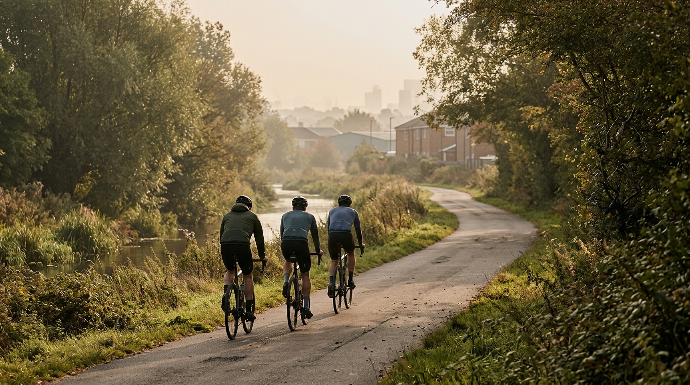
Waterlink Way
A 27.9 km asphalt, point-to-point ride in GB with modest climbing and no listed notable climbs.
- Distanz
- 27.9km
- Höhenmeter
- 190m
- Untergrund
- —
- Form
- Punkt-zu-Punkt
Die Route
Höhenprofil
Waterlink Way cycling route overview
The Waterlink Way cycling route is a 27.9 km asphalt ride in GB with 190 m of elevation gain. On paper, that gives it a controlled, low-drama profile: enough vertical gain to break up the rhythm, but not enough to make climbing the defining feature of the day.
The key detail is that it is not a loop. That changes the ride more than the modest elevation does. A point-to-point route asks for a bit of planning before the first pedal stroke, because the finish will not naturally bring you back to the start. Treat the logistics as part of the route, not an afterthought.
Terrain and ride character
With asphalt as the listed surface, the Waterlink Way is best approached as a road or all-road style ride rather than something that demands off-road equipment. The 190 m of climbing across 27.9 km suggests the terrain should feel steady rather than selective. There are no notable climbs listed, which matters tactically: this is unlikely to be a route where one sustained ascent dictates the whole effort.
Instead, the ride should reward consistency. The fastest way through a route like this is usually not repeated surges, but keeping pressure on the pedals, staying smooth over the small changes in gradient, and avoiding the classic mistake of treating an easy-looking profile as a reason to ride every rise too hard.
How to pace it
For most riders, this sits in the useful middle ground between a short spin and a long endurance ride. At 27.9 km, it is long enough that poor pacing still shows up, especially if the outward direction includes more of the elevation gain than expected. But with only 190 m of climbing, the route does not require a climbing-specific strategy.
A good approach is to ride the first section slightly under control, let the terrain reveal itself, then build into the effort once the rhythm is established. If using power, keep the small rises from becoming repeated spikes above threshold unless the goal is interval work. If riding by feel, the right sensation is firm but sustainable, with no single ramp forcing a reset.
Practical notes
- Route type: point-to-point, not a loop.
- Surface: asphalt.
- Distance: 27.9 km.
- Elevation gain: 190 m.
- Notable climbs: none listed.
Because it is not a loop, decide in advance whether the ride ends at the far point or whether it becomes a return journey. The route itself is not defined by climbing, so the main performance limiter is more likely to be pacing discipline and route logistics than raw climbing ability.
Ähnliche Routen
3-Länder-Radweg
A 302.2 km asphalt route in Germany with 1512 m of climbing and point-to-point logistics shaped by the Reußenkreuz climb.
7 Peaks Alpine Challenge
A 110.9 km point-to-point assault through the Victorian Alps, stacking 3404 metres of climbing across relentless, wind-swept high-country ascents.
Aberdare Range
A 46 km asphalt point-to-point through Kenya's Central Highlands that trades big climbs for a relentless 1,700 m of rolling grind.
Abra Málaga
A 45-kilometer point-to-point ribbon of asphalt through Peru's Sacred Valley, climbing 1,699 relentless meters into the high Andes.
Afriski Mahlasela Pass
A 112.8 km asphalt ascent through the Maloti Mountains, climbing 3,384 m to the roof of southern Africa via the storied Mahlasela Pass.
Ahr Cycleway
An 82.9 km asphalt point-to-point route with 541 m of gain, the Ahr Cycleway is a steady endurance ride rather than a climb-focused day.