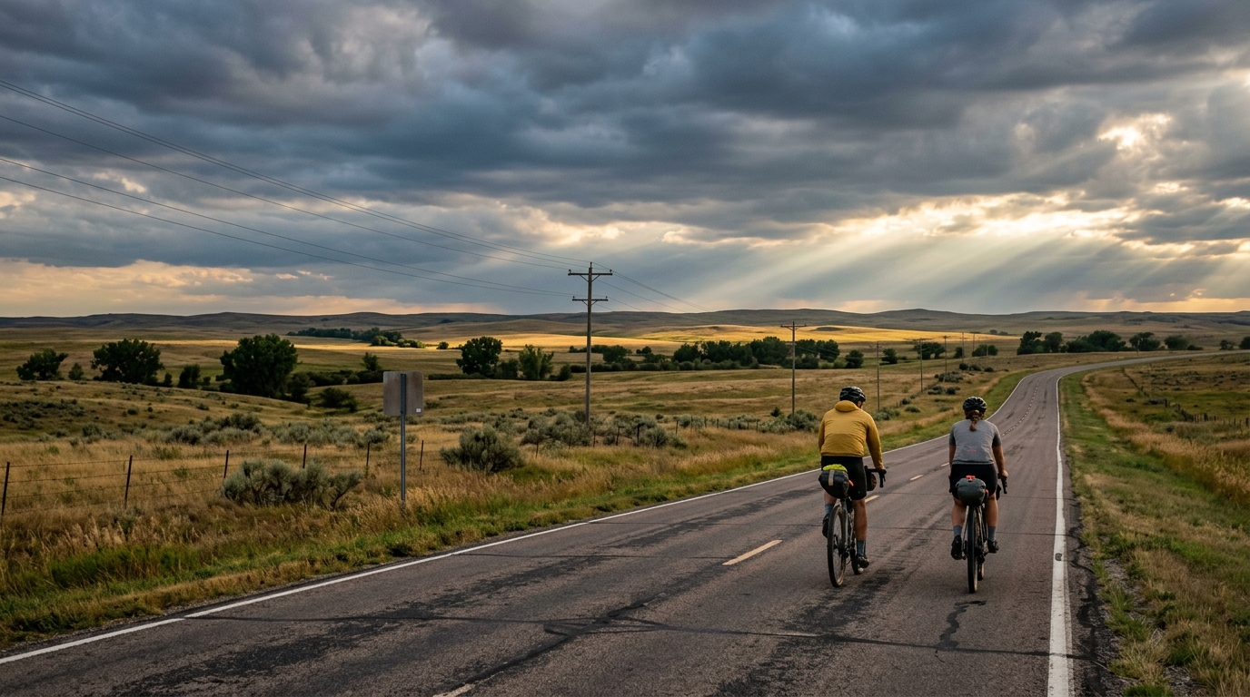
U.S. Bicycle Route 81
A practical guide to U.S. Bicycle Route 81, a 215.4 km asphalt point-to-point ride with 1182 m of elevation gain.
- Distanz
- 215.4km
- Höhenmeter
- 1,182m
- Untergrund
- —
- Form
- Punkt-zu-Punkt
Die Route
Höhenprofil
U.S. Bicycle Route 81 cycling route overview
U.S. Bicycle Route 81 is a long, point-to-point asphalt route in the United States, covering 215.4 km with 1182 m of elevation gain. On paper, that tells you the key thing: this is not defined by a single decisive climb, but by endurance, pacing, and the cumulative cost of riding a full-day distance on paved roads.
The elevation total is meaningful without being extreme for the distance. Since there are no notable climbs listed for the route, the difficulty is more likely to come from repeated changes in grade, exposure, fatigue, and the basic arithmetic of staying efficient for 215.4 km. This is the kind of route where riders often lose time and energy not because one climb breaks them, but because they ride the first half as if the second half will feel the same.
Terrain and ride character
The asphalt surface makes U.S. Bicycle Route 81 suitable for a road bike or endurance-focused setup, but the route length argues for comfort as much as speed. A fast tire choice and an efficient position matter, yet small fit issues or overly aggressive gearing choices become more expensive as the ride stretches out.
With 1182 m of gain across 215.4 km, the route should reward steady riding over repeated surges. The best approach is to keep climbs and false flats under control, especially early. If using power, anchor the day around sustainable endurance output rather than chasing short efforts above /glossary/ftp. If riding by feel, the correct opening pace should feel almost too restrained.
Practical notes
Because this is not a loop, logistics matter. A point-to-point route changes the ride before it starts: transport, pickup, weather direction, and bailout planning all become part of the execution. Do not treat it like a local circuit where mistakes are easy to unwind.
Key considerations:
- Plan food and fluids around the full 215.4 km distance, not just the expected moving time.
- Use gearing that lets you stay smooth across rolling terrain rather than forcing low-cadence work late in the ride.
- Check the route file carefully before starting, since a point-to-point ride leaves less room for navigation errors.
- Prioritize contact-point comfort: hands, saddle, and feet will matter more here than marginal aerodynamic gains.
How to ride it well
The winning strategy is restraint. The total elevation gain is manageable, but only if the effort is kept even. Ride the opening section with discipline, avoid unnecessary accelerations, and keep fueling ahead of demand. On a route this long, the strongest rider is often the one who makes the fewest expensive decisions before fatigue sets in.
U.S. Bicycle Route 81 is best understood as a paved endurance test rather than a climbing showcase. Its challenge is not one dramatic feature. It is the accumulation of distance, elevation, and execution over a long point-to-point day.
Ähnliche Routen
3-Länder-Radweg
A 302.2 km asphalt route in Germany with 1512 m of climbing and point-to-point logistics shaped by the Reußenkreuz climb.
7 Peaks Alpine Challenge
A 110.9 km point-to-point assault through the Victorian Alps, stacking 3404 metres of climbing across relentless, wind-swept high-country ascents.
Aberdare Range
A 46 km asphalt point-to-point through Kenya's Central Highlands that trades big climbs for a relentless 1,700 m of rolling grind.
Abra Málaga
A 45-kilometer point-to-point ribbon of asphalt through Peru's Sacred Valley, climbing 1,699 relentless meters into the high Andes.
Afriski Mahlasela Pass
A 112.8 km asphalt ascent through the Maloti Mountains, climbing 3,384 m to the roof of southern Africa via the storied Mahlasela Pass.
Ahr Cycleway
An 82.9 km asphalt point-to-point route with 541 m of gain, the Ahr Cycleway is a steady endurance ride rather than a climb-focused day.