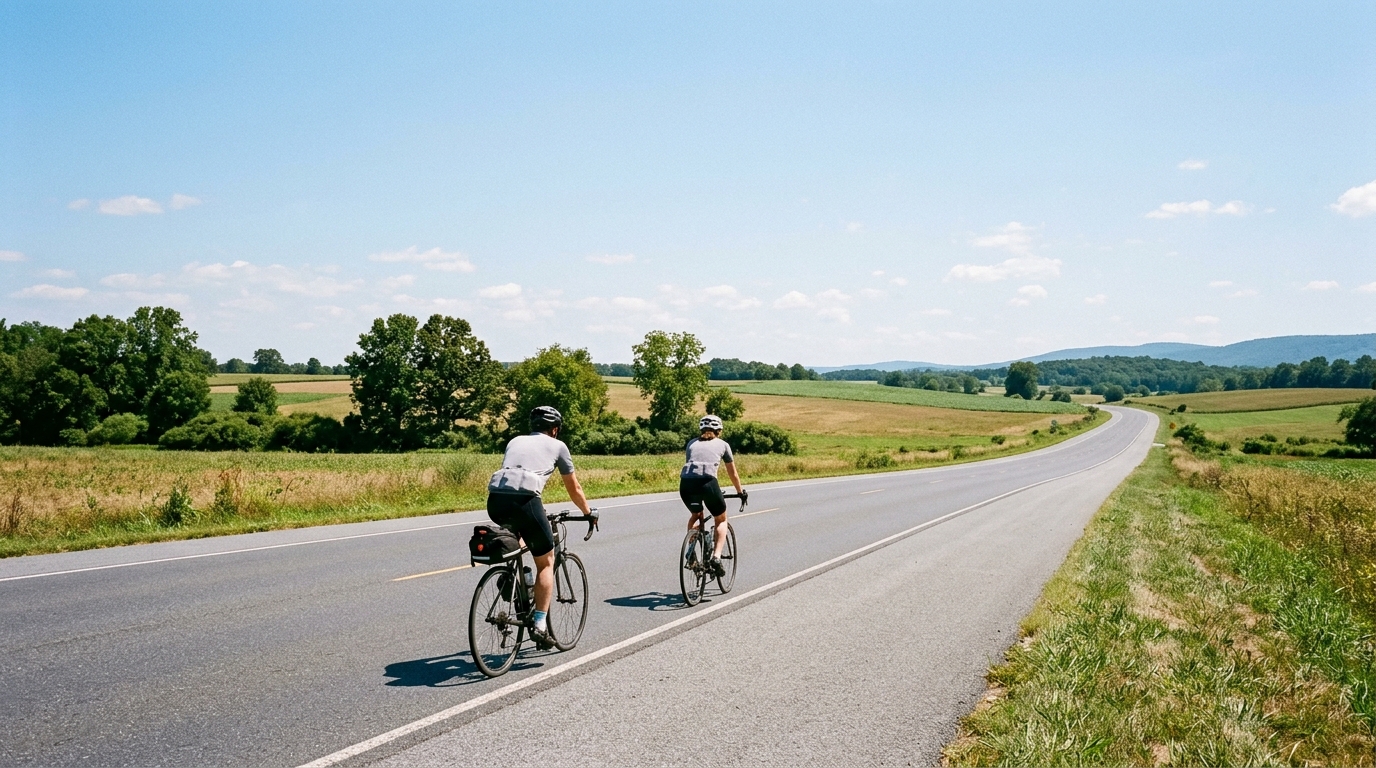
U.S. Bicycle Route 50 in Maryland
A practical look at U.S. Bicycle Route 50 in Maryland, a 323 km asphalt point-to-point route with 782 m of climbing.
- Distanz
- 323km
- Höhenmeter
- 782m
- Untergrund
- —
- Form
- Punkt-zu-Punkt
Die Route
Höhenprofil
U.S. Bicycle Route 50 in Maryland cycling route overview
U.S. Bicycle Route 50 in Maryland is a long asphalt point-to-point route: 323 km with 782 m of elevation gain. That profile tells you most of what matters before you clip in. This is not a climbing route in the pure sense, but it is long enough that small pacing errors can compound. The challenge is less about surviving one decisive gradient and more about staying efficient over distance.
Because the route is not a loop, logistics matter. A point-to-point ride rewards planning: transport at the finish, a clear bailout strategy, and enough flexibility around weather, daylight, and resupply. The route length puts it firmly in endurance territory, so the practical question is not whether the climbing looks intimidating on paper. It is whether the rider can keep output, fueling, and focus stable across the full distance.
Terrain and ride character
The surface is asphalt, so the default setup is a road-oriented bike with tires chosen for comfort and reliability rather than off-road grip. The modest elevation gain relative to the total distance suggests a route where momentum matters. Instead of repeated major climbs, expect the ride to reward smooth pacing, low-drama position changes, and disciplined fueling.
Ashby Gap and Hanging Rocks are the named notable climbs in the route data, and they should be treated as pacing checkpoints rather than isolated events. On a route this long, the mistake is riding the named climbs like they are the whole story. They are stress points inside a much bigger endurance problem. Keep them controlled, avoid burning matches early, and let the flatter or steadier sections do their job.
If riding by power, use /glossary/ftp as a ceiling rather than a target for sustained work. The route distance makes repeated surges expensive, even when the total climbing number looks manageable. If riding by feel, the right effort should feel almost conservative for a long time.
Practical notes
Best suited for
- Endurance road riders looking for a long asphalt point-to-point route
- Riders who are comfortable managing pacing over 323 km
- Cyclists who want a route where logistics and execution matter as much as terrain
Key considerations
- Plan transport carefully because the route is not a loop
- Treat Ashby Gap and Hanging Rocks as controlled efforts, not summit-finish attacks
- Prioritize steady fueling and hydration from the start
- Choose equipment for long-distance comfort on asphalt
- Keep enough margin for the final portion of the ride, where fatigue matters more than gradient
Bottom line
U.S. Bicycle Route 50 in Maryland is best read as an endurance execution test. The 782 m of elevation gain across 323 km does not make it a mountain route, but that can be deceptive. Long asphalt routes punish riders who confuse a moderate profile with an easy day. Ride it patiently, solve the point-to-point logistics before the start, and the route becomes a clean test of durability, pacing, and preparation.
Anstiege auf dieser Route
Hanging Rocks
Kat. 4A short category 4 climb in the US: 1.4 km at about six percent, best ridden with controlled pressure rather than a late rescue effort.
Ashby Gap
Kat. 4A 5.1 km Category 4 climb in the US with 189 m of net gain but 326 m of total ascent — the undulation is the real story.
Ähnliche Routen
3-Länder-Radweg
A 302.2 km asphalt route in Germany with 1512 m of climbing and point-to-point logistics shaped by the Reußenkreuz climb.
7 Peaks Alpine Challenge
A 110.9 km point-to-point assault through the Victorian Alps, stacking 3404 metres of climbing across relentless, wind-swept high-country ascents.
Aberdare Range
A 46 km asphalt point-to-point through Kenya's Central Highlands that trades big climbs for a relentless 1,700 m of rolling grind.
Abra Málaga
A 45-kilometer point-to-point ribbon of asphalt through Peru's Sacred Valley, climbing 1,699 relentless meters into the high Andes.
Afriski Mahlasela Pass
A 112.8 km asphalt ascent through the Maloti Mountains, climbing 3,384 m to the roof of southern Africa via the storied Mahlasela Pass.
Ahr Cycleway
An 82.9 km asphalt point-to-point route with 541 m of gain, the Ahr Cycleway is a steady endurance ride rather than a climb-focused day.