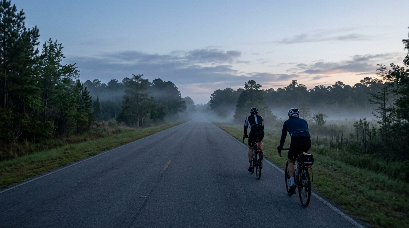
U.S. Bicycle Route 15 in Georgia
A paved 148.1 km point-to-point route in Georgia with 270 m of elevation gain and no notable climbs listed.
- Distanz
- 148.1km
- Höhenmeter
- 270m
- Untergrund
- —
- Form
- Punkt-zu-Punkt
Die Route
Höhenprofil
Route character
The U.S. Bicycle Route 15 in Georgia cycling route is a paved, point-to-point ride built around distance more than vertical difficulty. At 148.1 km with 270 m of elevation gain, its defining feature is not a single decisive climb, but the cumulative effect of staying smooth and efficient for a long day on asphalt.
That changes the way the route should be approached. With no notable climbs listed, there is less need to ration effort for a major uphill test. The bigger risk is the opposite - riding too hard early because the terrain does not immediately force restraint. On a route like this, the cost of small over-threshold efforts can still show up late, especially when the ride length pushes well beyond a short training spin.
Terrain and pacing
The low total elevation gain relative to the distance suggests a route where momentum matters. Rather than treating it like a climbing day, think of it as an aerobic durability ride. A steady endurance output will usually beat repeated accelerations, especially if the goal is to finish strongly rather than simply survive the final section.
For riders using power, this is a good route to anchor effort below /glossary/ftp and avoid turning minor rises, junction exits, or group surges into repeated matches burned. If you do not know your current benchmark, an estimate from /tools/ftp-estimator can help set a practical ceiling before the ride.
Practical notes
Because the route is not a loop, logistics matter. A point-to-point profile means the ride plan should be built around start access, finish pickup, or a return option rather than assuming an easy roll back to the car. That is not a small detail on a 148.1 km ride.
The asphalt surface points toward a standard road setup rather than a gravel-oriented one. Tire choice can prioritize rolling efficiency and comfort over off-road durability, while still leaving enough margin for normal road imperfections. The limited climbing also means gearing does not need to be selected around sustained steep gradients, but comfort in the position becomes more important over the full distance.
How to ride it well
The best execution is controlled and boring early. Keep cadence natural, avoid unnecessary spikes, and fuel as if the distance is the main opponent. With only 270 m of elevation gain and no listed notable climbs, the route is unlikely to break riders through gradient alone. It is more likely to expose poor pacing, missed fueling, or underestimating the demands of a long paved point-to-point day.
Ähnliche Routen
3-Länder-Radweg
A 302.2 km asphalt route in Germany with 1512 m of climbing and point-to-point logistics shaped by the Reußenkreuz climb.
7 Peaks Alpine Challenge
A 110.9 km point-to-point assault through the Victorian Alps, stacking 3404 metres of climbing across relentless, wind-swept high-country ascents.
Aberdare Range
A 46 km asphalt point-to-point through Kenya's Central Highlands that trades big climbs for a relentless 1,700 m of rolling grind.
Abra Málaga
A 45-kilometer point-to-point ribbon of asphalt through Peru's Sacred Valley, climbing 1,699 relentless meters into the high Andes.
Afriski Mahlasela Pass
A 112.8 km asphalt ascent through the Maloti Mountains, climbing 3,384 m to the roof of southern Africa via the storied Mahlasela Pass.
Ahr Cycleway
An 82.9 km asphalt point-to-point route with 541 m of gain, the Ahr Cycleway is a steady endurance ride rather than a climb-focused day.