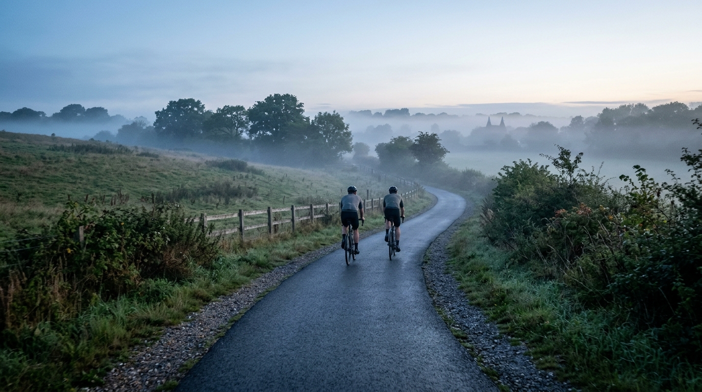
The Tudor Trail
A measured guide to The Tudor Trail cycling route: 33.6 km of asphalt, modest elevation gain, and point-to-point logistics in GB.
- Distanz
- 33.6km
- Höhenmeter
- 91m
- Untergrund
- —
- Form
- Punkt-zu-Punkt
Die Route
Höhenprofil
The Tudor Trail cycling route at a glance
The Tudor Trail is a 33.6 km asphalt cycling route in GB with 91 m of elevation gain. The defining feature is not climbing difficulty, but restraint: this is a point-to-point ride where the terrain should let rhythm matter more than survival.
With no notable climbs listed, the route profile points toward a controlled endurance effort rather than a day built around steep ramps or repeated threshold work. That does not make it meaningless from a training perspective. A flatter route changes the demand. Instead of recovering naturally on long descents or breaking the ride into obvious uphill sectors, you need to manage pressure on the pedals, cadence, and attention over a continuous distance.
Terrain and ride character
The surface is asphalt, so the route is road-bike-friendly on paper. The key caveat is that surface material is not the same as surface quality. Treat it as a paved route, but still check current conditions before choosing tyres or committing to a fast setup.
The elevation gain of 91 m across 33.6 km suggests a route where climbing is background texture rather than the main event. Expect changes in pace from junctions, wind exposure, surface variation, or navigation rather than from sustained gradients. That makes pacing cleaner but also less forgiving if you ride too hard early, because there may not be an obvious climb-descent structure to reset the effort.
For riders using power, this is the kind of route where discipline matters. Holding a smooth aerobic effort below /glossary/ftp will usually give more value than surging repeatedly just because the terrain allows it. For newer riders, the moderate distance and low total climbing make it approachable, provided the point-to-point logistics are handled properly.
Practical notes
Because The Tudor Trail is not a loop, planning matters more than the raw numbers suggest. You either need transport at the finish, a return route, or the willingness to make the day longer by riding back. That single detail changes the ride from a simple out-and-around spin into something that needs a basic plan.
A sensible approach is to ride it as:
- a steady endurance session
- a low-climbing road ride
- a point-to-point route with transport arranged in advance
- a pacing drill focused on consistency rather than peak power
Who it suits
The Tudor Trail suits riders who want distance without a major climbing load. It is also useful for athletes looking for a controlled ride where the limiter is likely to be pacing, fuelling, and staying smooth rather than surviving a hard ascent.
The main takeaway is simple: the numbers point to an accessible paved route, but the non-loop format is the detail that shapes the day. Ride it steadily, plan the finish before you start, and treat the lack of major climbing as an opportunity to build consistency rather than an excuse to switch off.
Ähnliche Routen
3-Länder-Radweg
A 302.2 km asphalt route in Germany with 1512 m of climbing and point-to-point logistics shaped by the Reußenkreuz climb.
7 Peaks Alpine Challenge
A 110.9 km point-to-point assault through the Victorian Alps, stacking 3404 metres of climbing across relentless, wind-swept high-country ascents.
Aberdare Range
A 46 km asphalt point-to-point through Kenya's Central Highlands that trades big climbs for a relentless 1,700 m of rolling grind.
Abra Málaga
A 45-kilometer point-to-point ribbon of asphalt through Peru's Sacred Valley, climbing 1,699 relentless meters into the high Andes.
Afriski Mahlasela Pass
A 112.8 km asphalt ascent through the Maloti Mountains, climbing 3,384 m to the roof of southern Africa via the storied Mahlasela Pass.
Ahr Cycleway
An 82.9 km asphalt point-to-point route with 541 m of gain, the Ahr Cycleway is a steady endurance ride rather than a climb-focused day.