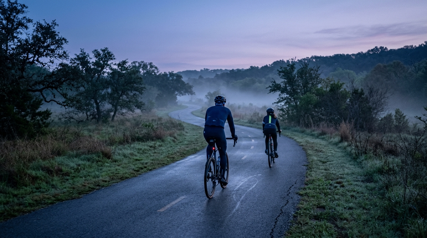
Southern Walnut Creek Trail
An asphalt, point-to-point cycling route with modest elevation gain, suited to steady endurance riding and controlled tempo work.
- Distanz
- 21.9km
- Höhenmeter
- 89m
- Untergrund
- —
- Form
- Punkt-zu-Punkt
Die Route
Höhenprofil
Southern Walnut Creek Trail Cycling Route
The Southern Walnut Creek Trail cycling route is defined less by climbing drama and more by rhythm. On paper, the key facts are straightforward: 21.9 km of asphalt with 89 m of elevation gain, and it is not a loop. That combination points to a route where the main limiter is not gradient, but how well you manage pace, surface flow, and return logistics.
Because the elevation gain is modest across the full distance, this is the kind of ride where small changes in effort can matter more than any single climb. There are no notable climbs listed, so the route should reward steady pressure rather than repeated out-of-saddle surges. For riders using power, it fits naturally as an endurance or tempo session where staying disciplined matters more than chasing short spikes. If you are anchoring the ride around /glossary/ftp, the useful test is not whether you can go hard once, but whether you can keep the effort smooth from start to finish.
Terrain and Ride Feel
The asphalt surface is the biggest practical feature. It should make the route more predictable than mixed-surface riding, which helps with cadence control, fueling practice, and consistent pacing. With only 89 m of elevation gain, the terrain profile should feel generally forgiving, but not automatically easy. A low-climbing route can still become costly if the pace drifts upward early, especially when the route does not naturally force recovery through longer descents or major gradient changes.
That makes this a good route for aerobic durability. The absence of listed climbs means there is less tactical interruption, so the ride becomes about holding form, staying relaxed on the bike, and resisting the tendency to turn every open stretch into an unplanned threshold effort.
Practical Notes
The most important planning detail is that this is not a loop. Treat the 21.9 km distance as the defined route distance, then decide in advance how you are handling the finish. If you plan to return by bike, build that into your pacing and fueling rather than treating the endpoint as the end of the day.
Best uses for this route:
- Controlled endurance riding on asphalt
- Tempo work without major climbing interruptions
- Cadence and position practice on a predictable surface
- Fitness checks where consistent pacing is the goal
The Southern Walnut Creek Trail is not a route that needs to be overcomplicated. Its value is in its simplicity: an asphalt point-to-point ride with limited elevation gain, where the quality of the session comes from how evenly you ride it.
Ähnliche Routen
3-Länder-Radweg
A 302.2 km asphalt route in Germany with 1512 m of climbing and point-to-point logistics shaped by the Reußenkreuz climb.
7 Peaks Alpine Challenge
A 110.9 km point-to-point assault through the Victorian Alps, stacking 3404 metres of climbing across relentless, wind-swept high-country ascents.
Aberdare Range
A 46 km asphalt point-to-point through Kenya's Central Highlands that trades big climbs for a relentless 1,700 m of rolling grind.
Abra Málaga
A 45-kilometer point-to-point ribbon of asphalt through Peru's Sacred Valley, climbing 1,699 relentless meters into the high Andes.
Afriski Mahlasela Pass
A 112.8 km asphalt ascent through the Maloti Mountains, climbing 3,384 m to the roof of southern Africa via the storied Mahlasela Pass.
Ahr Cycleway
An 82.9 km asphalt point-to-point route with 541 m of gain, the Ahr Cycleway is a steady endurance ride rather than a climb-focused day.