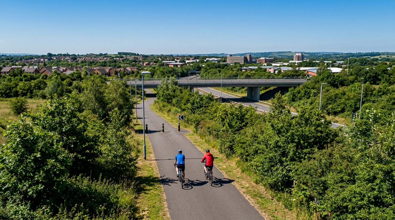
Silkin Way
A practical guide to the Silkin Way cycling route: 24.6 km on asphalt, with modest elevation gain and point-to-point logistics.
- Distanz
- 24.6km
- Höhenmeter
- 179m
- Untergrund
- —
- Form
- Punkt-zu-Punkt
Die Route
Höhenprofil
Silkin Way cycling route overview
The Silkin Way is a 24.6 km asphalt cycling route in GB, with 179 m of elevation gain and a point-to-point format rather than a loop. That combination gives it a very specific character: this is not a climb-led route, and it is not defined by repeated elevation changes. It is better understood as a steady asphalt ride where rhythm, pacing, and logistics matter more than pure climbing strength.
With no notable climbs listed, the route should suit riders who want sustained movement without the demands of a major ascent. The elevation gain is present, but it is spread across the ride rather than concentrated into a named climb. That tends to make the effort easier to control, especially if you ride by feel, heart rate, or /glossary/ftp-based zones rather than chasing every small rise.
Terrain and ride feel
The defining feature here is the asphalt surface. That makes the Silkin Way cycling route accessible to road bikes, endurance bikes, hybrids, and most all-road setups, assuming normal roadworthy tyres and sensible pressures. Because the route is not gravel or mixed-surface on the available data, the main performance limiter is likely to be how smoothly you hold speed across the full distance rather than how you handle rough terrain.
The 179 m of elevation gain over 24.6 km suggests a ride that can still bite if you over-pace early, but it should not force repeated threshold-level efforts unless you choose to ride it that way. For endurance riders, the smarter approach is to keep the opening phase controlled, let the route come to you, and avoid treating every change in pitch like a test.
Pacing and training use
This is a useful route for aerobic work because the stats point toward consistency. Without a notable climb to structure the effort, the best session design is usually simple: settle into a sustainable pace and focus on even pressure on the pedals. If you are using power, keep the ride from turning into a series of unnecessary surges. If you are riding on feel, aim for controlled breathing and a pace you could extend beyond the route distance.
The profile also makes it a good option for riders building confidence on longer continuous rides. At 24.6 km, it is long enough to reward pacing discipline but not so long that nutrition, fatigue resistance, and equipment choice dominate the day.
Practical notes
Because the route is not a loop, plan the finish before you start. Either arrange transport, link it into another ride, or be ready to retrace the route. That point-to-point structure is the main logistical detail to get right.
A few simple checks make sense:
- Use tyres appropriate for asphalt rather than prioritising off-road grip.
- Carry enough food and fluid for the full 24.6 km, especially if riding it as part of a longer day.
- Pace the early kilometres conservatively, since the route still includes 179 m of gain.
- If using it for training, keep the effort smooth rather than turning minor rises into hard intervals.
The Silkin Way is best treated as a controlled endurance route: asphalt under the wheels, modest climbing in the legs, and a point-to-point layout that rewards a little planning before the ride starts.
Ähnliche Routen
3-Länder-Radweg
A 302.2 km asphalt route in Germany with 1512 m of climbing and point-to-point logistics shaped by the Reußenkreuz climb.
7 Peaks Alpine Challenge
A 110.9 km point-to-point assault through the Victorian Alps, stacking 3404 metres of climbing across relentless, wind-swept high-country ascents.
Aberdare Range
A 46 km asphalt point-to-point through Kenya's Central Highlands that trades big climbs for a relentless 1,700 m of rolling grind.
Abra Málaga
A 45-kilometer point-to-point ribbon of asphalt through Peru's Sacred Valley, climbing 1,699 relentless meters into the high Andes.
Afriski Mahlasela Pass
A 112.8 km asphalt ascent through the Maloti Mountains, climbing 3,384 m to the roof of southern Africa via the storied Mahlasela Pass.
Ahr Cycleway
An 82.9 km asphalt point-to-point route with 541 m of gain, the Ahr Cycleway is a steady endurance ride rather than a climb-focused day.