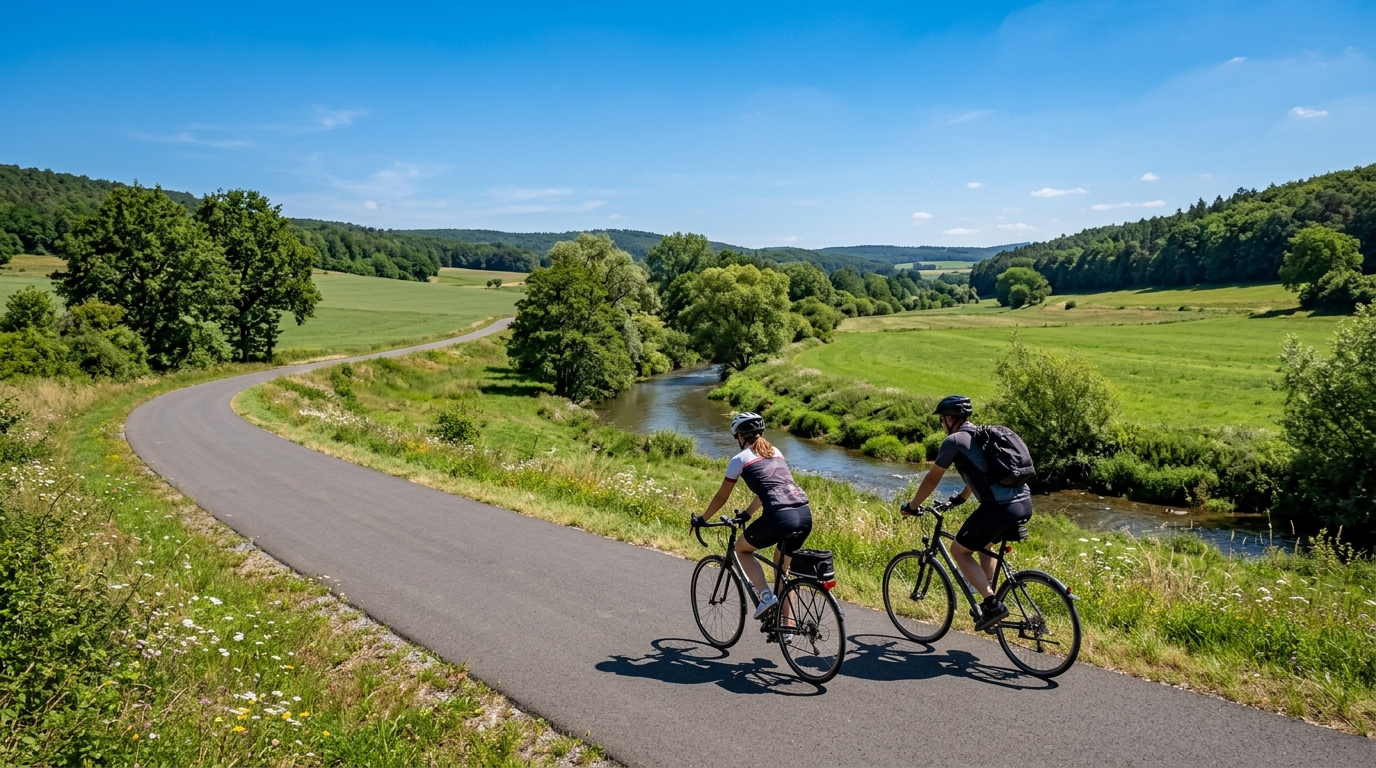
Queich Valley Cycleway
A 59.5 km asphalt point-to-point route with 244 m of gain, the Queich Valley Cycleway is a steady endurance ride rather than a climbing test.
- Distanz
- 59.5km
- Höhenmeter
- 244m
- Untergrund
- —
- Form
- Punkt-zu-Punkt
Die Route
Höhenprofil
Queich Valley Cycleway cycling route overview
The Queich Valley Cycleway cycling route is a 59.5 km point-to-point ride on asphalt with 244 m of elevation gain. That combination tells you most of what matters before you clip in: this is not a route built around a decisive climb or a repeated sequence of hard ramps. It is a steady, low-gain endurance ride where the main challenge is maintaining rhythm across the full distance and managing the logistics of a non-loop course.
Because there are no notable climbs listed, the route should be treated less like a climbing target and more like a continuous aerobic effort. The elevation gain is modest for the distance, which means pacing errors are less likely to come from one obvious ascent and more likely to come from riding too hard early because the terrain feels manageable. That is the trap with routes like this. The absence of a headline climb does not make the second half easier if the first half has been ridden above the right ceiling.
Terrain and ride character
The asphalt surface makes the route well suited to road bikes, endurance bikes, and fast touring setups. Tyre choice can stay practical rather than defensive: comfort and rolling efficiency matter more than off-road capability. For most riders, this is the kind of course where position, cadence, and smooth fueling have more impact than raw climbing strength.
With 244 m of gain across 59.5 km, the terrain profile points toward a route that rewards consistency. Expect the effort to sit in an endurance-to-tempo range rather than forcing repeated high-power surges. If riding with power, keep the early effort controlled relative to /glossary/ftp and save any harder work for the final portion, where the point-to-point nature means you do not need to preserve energy for a return leg on the same route unless you have planned one.
Practical notes
The key planning detail is that this is not a loop. Decide in advance how you are handling the finish: public transport, pickup, overnight stop, or riding back. That decision changes the ride substantially. A one-way 59.5 km endurance ride is a controlled day out; turning it into an out-and-back doubles the commitment and changes the pacing equation.
For fueling, the distance is long enough that riders should not rely on breakfast alone, even though the climbing load is modest. The low elevation gain can make the route feel easier than it is, but steady pedaling on asphalt still accumulates fatigue. Eat early, drink consistently, and keep the effort boringly repeatable.
Best use case
The Queich Valley Cycleway is best read as a steady endurance route rather than a performance climb. It suits riders looking for a point-to-point asphalt ride, a controlled aerobic session, or a touring-style day where the value comes from flow and consistency rather than vertical gain.
Ähnliche Routen
3-Länder-Radweg
A 302.2 km asphalt route in Germany with 1512 m of climbing and point-to-point logistics shaped by the Reußenkreuz climb.
7 Peaks Alpine Challenge
A 110.9 km point-to-point assault through the Victorian Alps, stacking 3404 metres of climbing across relentless, wind-swept high-country ascents.
Aberdare Range
A 46 km asphalt point-to-point through Kenya's Central Highlands that trades big climbs for a relentless 1,700 m of rolling grind.
Abra Málaga
A 45-kilometer point-to-point ribbon of asphalt through Peru's Sacred Valley, climbing 1,699 relentless meters into the high Andes.
Afriski Mahlasela Pass
A 112.8 km asphalt ascent through the Maloti Mountains, climbing 3,384 m to the roof of southern Africa via the storied Mahlasela Pass.
Ahr Cycleway
An 82.9 km asphalt point-to-point route with 541 m of gain, the Ahr Cycleway is a steady endurance ride rather than a climb-focused day.