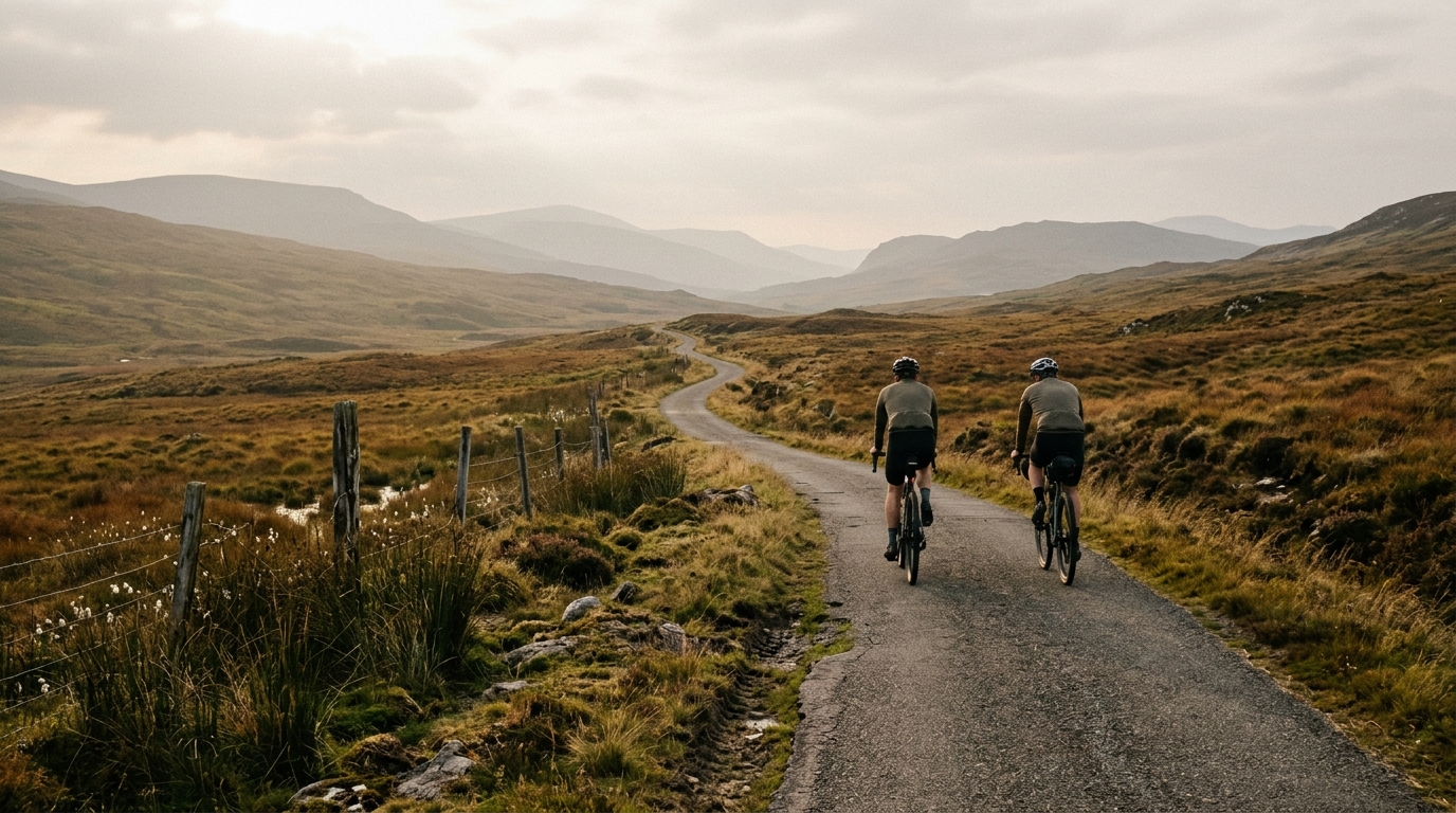
National Cycle Route 73
A practical guide to National Cycle Route 73, a 94.6 km asphalt point-to-point ride in GB with modest elevation gain.
- Distanz
- 94.6km
- Höhenmeter
- 275m
- Untergrund
- —
- Form
- Punkt-zu-Punkt
Die Route
Höhenprofil
National Cycle Route 73 cycling route overview
National Cycle Route 73 is a point-to-point asphalt route in GB, covering 94.6 km with 275 m of elevation gain. On paper, that tells you the main story: this is not a climbing-led ride. The challenge is less about surviving one decisive ascent and more about holding a controlled, sustainable rhythm across a full-length endurance outing.
That matters tactically. With no notable climbs listed, the route is unlikely to be defined by a single obvious pacing breakpoint. Instead, the ride rewards steady pressure, good positioning, and disciplined fueling. It is the kind of profile where riders can lose more time and energy through small errors than through any one dramatic section.
Terrain and ride character
The asphalt surface makes the National Cycle Route 73 cycling route well suited to a road bike or fast all-road setup, assuming normal conditions. The modest total elevation gain should make the route feel relatively flowing, but 94.6 km is still long enough that poor pacing will show up late.
Because the elevation gain is spread across the route rather than concentrated into named climbs, expect the effort to come from duration and accumulation. Short rises, changes in exposure, junctions, and surface rhythm can all interrupt momentum even when the profile looks manageable. The right approach is to keep the early ride controlled, avoid repeated accelerations, and let the route come to you.
Pacing strategy
Treat this as an endurance ride first. The absence of notable climbs does not mean it is easy - it means there are fewer natural places to reset. A route like this can tempt riders into riding slightly too hard because nothing looks intimidating. That is usually the mistake.
Keep the opening phase conservative, especially if riding the full distance. The goal is to arrive deep into the route with enough energy to maintain cadence and concentration. If using power, ride by feel and avoid turning every small rise into a threshold effort. If riding in a group, smooth turns and consistent speed will matter more than punchy surges.
Practical notes
The route is not a loop, so logistics matter. Plan the start and finish before committing, especially transport, return options, and where you will refuel. A point-to-point ride changes the risk profile: if conditions shift or fatigue arrives, turning back is not always the simplest solution.
For equipment, the asphalt surface keeps the setup straightforward. Prioritise comfort, reliable tyres, and enough food and fluid for a 94.6 km ride. The low climbing total does not remove the need to fuel properly - it just changes where the fatigue comes from. Here, the limiter is likely to be sustained output over distance rather than steep-gradient power.
Ähnliche Routen
3-Länder-Radweg
A 302.2 km asphalt route in Germany with 1512 m of climbing and point-to-point logistics shaped by the Reußenkreuz climb.
7 Peaks Alpine Challenge
A 110.9 km point-to-point assault through the Victorian Alps, stacking 3404 metres of climbing across relentless, wind-swept high-country ascents.
Aberdare Range
A 46 km asphalt point-to-point through Kenya's Central Highlands that trades big climbs for a relentless 1,700 m of rolling grind.
Abra Málaga
A 45-kilometer point-to-point ribbon of asphalt through Peru's Sacred Valley, climbing 1,699 relentless meters into the high Andes.
Afriski Mahlasela Pass
A 112.8 km asphalt ascent through the Maloti Mountains, climbing 3,384 m to the roof of southern Africa via the storied Mahlasela Pass.
Ahr Cycleway
An 82.9 km asphalt point-to-point route with 541 m of gain, the Ahr Cycleway is a steady endurance ride rather than a climb-focused day.