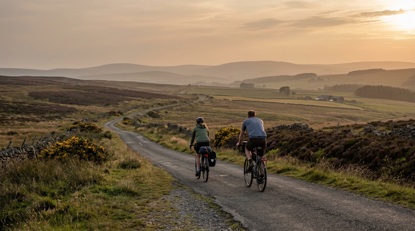
National Cycle Route 69
A practical guide to the National Cycle Route 69 cycling route: 169 km of asphalt, 646 m of climbing, and point-to-point logistics.
- Distanz
- 169km
- Höhenmeter
- 646m
- Untergrund
- —
- Form
- Punkt-zu-Punkt
Die Route
Höhenprofil
National Cycle Route 69 cycling route overview
National Cycle Route 69 is a 169 km asphalt route in GB with 646 m of elevation gain. The important read here is not that it is brutally steep, because the source data lists no notable climbs. The defining feature is the combination of distance and continuity: this is a long point-to-point ride where the outcome is shaped more by pacing, fueling, and logistics than by any single decisive ascent.
Because the route is not a loop, planning matters before the ride starts. A point-to-point profile changes the psychology and the practical setup. You are not naturally returning to the start, so transport, collection, accommodation, or a return ride need to be sorted in advance. That sounds obvious, but it is exactly the kind of detail that can turn a steady endurance day into a messy one if left until the finish.
Terrain and ride feel
The surface is asphalt, which makes this a road-bike-friendly route in equipment terms. With 646 m of climbing over 169 km, the elevation load is present but not the central tactical problem. Expect the ride to reward a smooth aerobic approach rather than repeated surges.
That does not mean it should be ridden casually. A route of this length still punishes poor intensity control. If you ride the early sections above sustainable pressure, the absence of major climbs will not save you later. The better approach is to settle into a controlled endurance rhythm, keep the effort below threshold, and treat small rises as places to maintain momentum rather than prove form. If you use power, anchor the day around your known endurance range rather than chasing short-term speed. For riders calibrating zones, /glossary/ftp is the useful reference point.
Practical notes
- Surface: asphalt, so tyre and bike choice can lean toward efficient road riding.
- Format: not a loop, so finish-line logistics are part of the route plan.
- Climbing: 646 m total, with no notable climbs listed in the source data.
- Distance: 169 km, which makes fueling and pacing more important than isolated efforts.
How to ride it well
The smart ride is conservative early, steady through the middle, and honest late. The route profile suggests a day where fatigue accumulates quietly. Keep eating before hunger arrives, avoid unnecessary accelerations, and use the asphalt surface to hold a consistent cadence and position.
National Cycle Route 69 is best understood as an endurance route rather than a climbing test. The riders who get the most from it will be the ones who respect the distance, manage the point-to-point logistics, and keep the effort boringly controlled for long enough that the final kilometres are still under command.
Ähnliche Routen
3-Länder-Radweg
A 302.2 km asphalt route in Germany with 1512 m of climbing and point-to-point logistics shaped by the Reußenkreuz climb.
7 Peaks Alpine Challenge
A 110.9 km point-to-point assault through the Victorian Alps, stacking 3404 metres of climbing across relentless, wind-swept high-country ascents.
Aberdare Range
A 46 km asphalt point-to-point through Kenya's Central Highlands that trades big climbs for a relentless 1,700 m of rolling grind.
Abra Málaga
A 45-kilometer point-to-point ribbon of asphalt through Peru's Sacred Valley, climbing 1,699 relentless meters into the high Andes.
Afriski Mahlasela Pass
A 112.8 km asphalt ascent through the Maloti Mountains, climbing 3,384 m to the roof of southern Africa via the storied Mahlasela Pass.
Ahr Cycleway
An 82.9 km asphalt point-to-point route with 541 m of gain, the Ahr Cycleway is a steady endurance ride rather than a climb-focused day.