National Cycle Route 165
A practical guide to the National Cycle Route 165 cycling route: 118.2 km of asphalt riding with 778 m of elevation gain and point-to-point logistics.
- Distanz
- 118.2km
- Höhenmeter
- 778m
- Untergrund
- —
- Form
- Punkt-zu-Punkt
Die Route
Höhenprofil
National Cycle Route 165 cycling route overview
National Cycle Route 165 is a 118.2 km point-to-point ride in GB, with 778 m of elevation gain on asphalt. On paper, that makes it a long endurance route rather than a climbing-focused day. The elevation total is meaningful enough to shape pacing, but the absence of listed notable climbs suggests the difficulty is more likely to come from repeated rises, accumulated fatigue, and the simple demand of staying steady across the full distance.
That distinction matters. A route with one decisive climb asks for one controlled effort. A route like this asks for discipline all day. The fastest and most comfortable way to ride it is not to chase every rise, but to keep the effort capped and let the terrain come back to you. If you ride with power, this is the kind of profile where staying well below /glossary/ftp on the early terrain usually pays off later.
Terrain and ride character
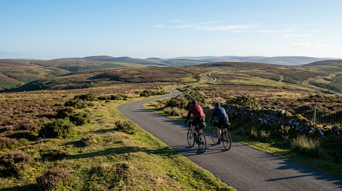
The asphalt surface points toward a route that suits a road bike, endurance bike, or fast all-road setup, assuming normal conditions. Because the route is not a loop, the practical challenge starts before the ride does: you need a plan for getting to the start and leaving the finish, or a deliberate out-and-back extension if you want to return under your own power.
The 778 m of climbing over 118.2 km gives the route a controlled, rolling character rather than a mountainous one. That does not make it easy. Long routes with moderate elevation often tempt riders into riding too hard because no single section feels decisive. The cost shows up late, when the small efforts have compounded and the final part of the ride requires more focus than the profile initially suggested.
How to pace it
Treat National Cycle Route 165 as an endurance ride with a steady ceiling. The key is not producing a big number on any one climb, but avoiding repeated spikes. On asphalt, speed can carry well when the route opens up, so use easier sections to settle your breathing, eat, and bring the effort down rather than pressing every opportunity.
A sensible approach:
- Start conservatively, especially if riding the full 118.2 km.
- Keep climbs controlled, since none are listed as notable enough to define the route.
- Use flatter sections to maintain rhythm rather than forcing speed.
- Fuel before you feel empty, because the route length is the main stressor.
- Save a margin for the final portion, where cumulative elevation matters more than any single rise.
Practical notes
Because this is a point-to-point route, logistics are part of the ride plan. Confirm transport, parking, or pickup before committing to the full distance. The asphalt surface reduces equipment uncertainty, but the length still argues for carrying enough food, fluids, tools, and clothing to handle a long day without relying on improvisation.
The route profile makes it well suited to endurance training, aerobic base work, or a controlled long ride. It is less about surviving a named climb and more about managing effort cleanly across a substantial distance. Ride it patiently and the numbers are manageable. Ride it like a sequence of short attacks and the 778 m of gain will feel heavier than it looks.
Ähnliche Routen
3-Länder-Radweg
A 302.2 km asphalt route in Germany with 1512 m of climbing and point-to-point logistics shaped by the Reußenkreuz climb.
7 Peaks Alpine Challenge
A 110.9 km point-to-point assault through the Victorian Alps, stacking 3404 metres of climbing across relentless, wind-swept high-country ascents.
Aberdare Range
A 46 km asphalt point-to-point through Kenya's Central Highlands that trades big climbs for a relentless 1,700 m of rolling grind.
Abra Málaga
A 45-kilometer point-to-point ribbon of asphalt through Peru's Sacred Valley, climbing 1,699 relentless meters into the high Andes.
Afriski Mahlasela Pass
A 112.8 km asphalt ascent through the Maloti Mountains, climbing 3,384 m to the roof of southern Africa via the storied Mahlasela Pass.
Ahr Cycleway
An 82.9 km asphalt point-to-point route with 541 m of gain, the Ahr Cycleway is a steady endurance ride rather than a climb-focused day.