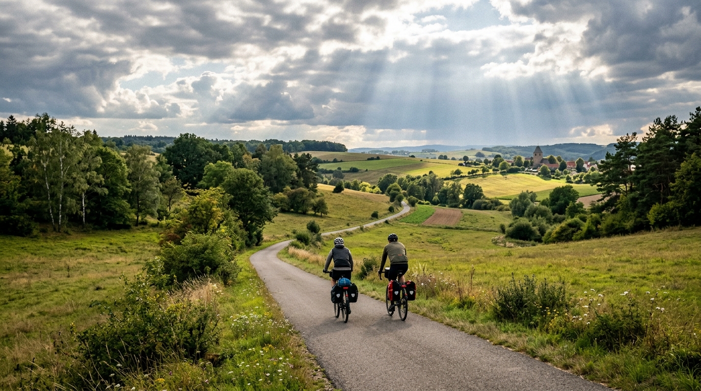
Kirchenradweg Jena-Thalbürgel
A compact asphalt point-to-point route from Jena to Thalbürgel, with modest climbing and no listed major ascent.
- Distanz
- 14.3km
- Höhenmeter
- 156m
- Untergrund
- —
- Form
- Punkt-zu-Punkt
Die Route
Höhenprofil
Kirchenradweg Jena-Thalbürgel cycling route overview
The Kirchenradweg Jena-Thalbürgel cycling route is a short asphalt point-to-point ride in DE, covering 14.3 km with 156 m of elevation gain. On paper, that makes it a compact route rather than a major endurance objective, but the profile still matters: the climbing is enough to shape pacing, without turning the ride into a dedicated climb day.
The key practical detail is that this is not a loop. Treat it as a directional route from Jena to Thalbürgel, and plan the return before you roll. If you are riding it as part of a longer day, it works best as a connector or controlled aerobic segment. If you are riding it as a standalone route, the logistics matter more than the difficulty.
Terrain and ride character
With an asphalt surface and no notable climbs listed, this should ride as a steady road-oriented route rather than a technical or climb-specific outing. The 156 m of elevation gain across 14.3 km suggests the effort will come from gentle rises, transitions, and accumulated drag rather than one decisive ascent.
That changes how to pace it. There is little reason to overcommit early unless the goal is a short, hard effort. For most riders, the smarter approach is to keep pressure even, stay seated on the rises, and avoid turning every uphill into a surge. On a route this short, small pacing mistakes can distort the whole ride because there is not much distance available to settle back into rhythm.
How to use the route
This route suits several purposes:
- A short endurance spin on asphalt
- A controlled aerobic ride with light climbing
- A point-to-point connector between Jena and Thalbürgel
- A low-complexity route for riders who want predictable surface conditions
If you are training by power, use the modest elevation gain as a chance to keep effort smooth rather than chasing speed over each rise. Riders working from /glossary/ftp should think less about peak numbers and more about avoiding unnecessary spikes. The route profile does not demand repeated maximal efforts, so discipline will usually produce the better ride.
Practical notes
Because the route is 14.3 km and not a loop, carry what you need for the full point-to-point ride and have a return plan. The asphalt surface makes bike choice straightforward: a road bike, endurance bike, or all-road setup should all make sense, provided the priority is efficient rolling rather than off-road capability.
The absence of listed notable climbs is useful information. It means the route is unlikely to be defined by a single landmark ascent, so the real character is the overall flow: short distance, moderate elevation gain, paved surface, and simple directional logistics.
Ähnliche Routen
3-Länder-Radweg
A 302.2 km asphalt route in Germany with 1512 m of climbing and point-to-point logistics shaped by the Reußenkreuz climb.
7 Peaks Alpine Challenge
A 110.9 km point-to-point assault through the Victorian Alps, stacking 3404 metres of climbing across relentless, wind-swept high-country ascents.
Aberdare Range
A 46 km asphalt point-to-point through Kenya's Central Highlands that trades big climbs for a relentless 1,700 m of rolling grind.
Abra Málaga
A 45-kilometer point-to-point ribbon of asphalt through Peru's Sacred Valley, climbing 1,699 relentless meters into the high Andes.
Afriski Mahlasela Pass
A 112.8 km asphalt ascent through the Maloti Mountains, climbing 3,384 m to the roof of southern Africa via the storied Mahlasela Pass.
Ahr Cycleway
An 82.9 km asphalt point-to-point route with 541 m of gain, the Ahr Cycleway is a steady endurance ride rather than a climb-focused day.