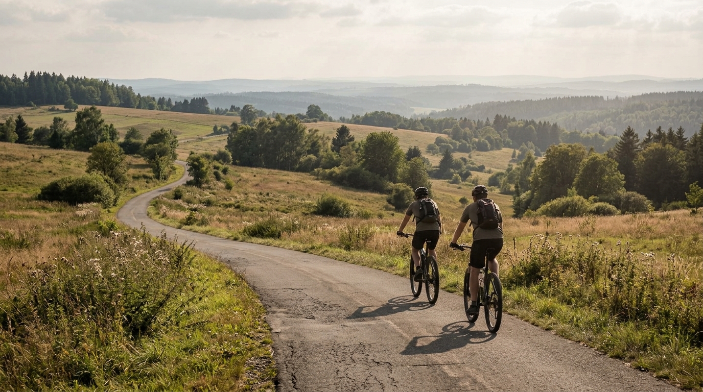
Ilm-Rennsteig-Radweg
A compact 24 km asphalt point-to-point route in Germany with 387 m of climbing, suited to controlled pacing rather than pure cruising.
- Distanz
- 24km
- Höhenmeter
- 387m
- Untergrund
- —
- Form
- Punkt-zu-Punkt
Die Route
Höhenprofil
Ilm-Rennsteig-Radweg cycling route overview
The Ilm-Rennsteig-Radweg is a compact asphalt cycling route in Germany, covering 24 km with 387 m of elevation gain. It is not a loop, which is the first practical detail to get right: this is a point-to-point ride, so the effort on the bike is only part of the plan. Transport, a return ride, or a second route back needs to be sorted before rolling out.
On paper, the route sits in an interesting middle ground. It is short enough to ride without turning it into a full-day endurance project, but the climbing total means it is not just a flat transfer. The terrain will reward riders who keep the first half under control, especially if riding it as part of a longer day or linking it with other roads.
Terrain and ride character
With asphalt listed as the surface, the Ilm-Rennsteig-Radweg is best approached as a road or fast all-road ride rather than a gravel outing. That matters because the limiting factor is less likely to be traction or surface choice and more likely to be pacing over repeated rises or a sustained uphill trend.
The supplied route data does not list any notable climbs, which is useful in its own way. This suggests the ride should not be treated as a single headline ascent where everything hinges on one major effort. Instead, the 387 m of gain across 24 km points to a route where climbing load accumulates. That type of profile can feel deceptively manageable early, then become harder if every rise is ridden above threshold.
For pacing, think controlled pressure rather than attacking. Stay below the effort you would use on a defined climb unless you know the final kilometres are easy. If you ride with power, keeping the surges limited will usually produce a faster and cleaner ride than chasing speed over each lump. For the underlying idea, see /glossary/pacing and /glossary/elevation-gain.
Practical notes
Bike choice
An asphalt surface keeps equipment simple. A road bike is the natural choice, while an endurance road setup also makes sense if comfort matters more than outright speed. There is no surface data here that points toward the need for gravel tyres or off-road gearing.
Gearing and effort
The route is only 24 km, but the 387 m of elevation gain is enough to make gearing relevant. Choose a setup that lets you climb seated without forcing big-torque efforts throughout the ride. This is especially important if the Ilm-Rennsteig-Radweg is being used as a connector inside a longer route.
Logistics
Because the route is not a loop, do not treat the finish as automatically solved. A point-to-point asphalt route can be efficient and enjoyable, but only if the return plan is deliberate. If riding out and back, the day becomes more than the listed 24 km, and the pacing plan should change accordingly.
Best use case
The Ilm-Rennsteig-Radweg works best for riders who want a short, structured route with meaningful climbing but without committing to a major named ascent. It is well suited to endurance riding, aerobic climbing practice, or a controlled tempo session where the goal is to manage effort across rolling or rising terrain rather than chase one decisive climb.
Ähnliche Routen
3-Länder-Radweg
A 302.2 km asphalt route in Germany with 1512 m of climbing and point-to-point logistics shaped by the Reußenkreuz climb.
7 Peaks Alpine Challenge
A 110.9 km point-to-point assault through the Victorian Alps, stacking 3404 metres of climbing across relentless, wind-swept high-country ascents.
Aberdare Range
A 46 km asphalt point-to-point through Kenya's Central Highlands that trades big climbs for a relentless 1,700 m of rolling grind.
Abra Málaga
A 45-kilometer point-to-point ribbon of asphalt through Peru's Sacred Valley, climbing 1,699 relentless meters into the high Andes.
Afriski Mahlasela Pass
A 112.8 km asphalt ascent through the Maloti Mountains, climbing 3,384 m to the roof of southern Africa via the storied Mahlasela Pass.
Ahr Cycleway
An 82.9 km asphalt point-to-point route with 541 m of gain, the Ahr Cycleway is a steady endurance ride rather than a climb-focused day.