Icknield Way Trail
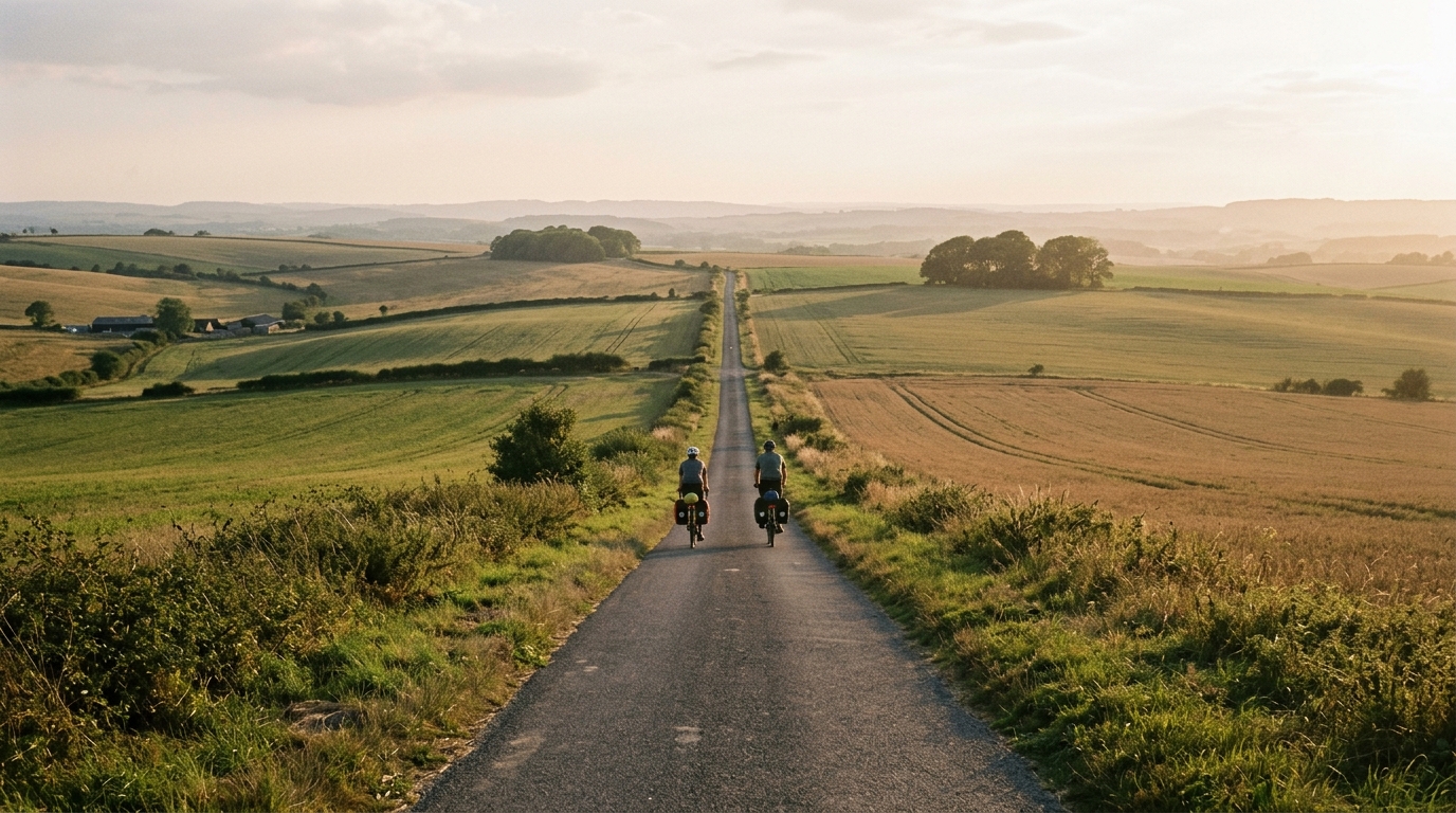
A long asphalt point-to-point ride in GB, the Icknield Way Trail is defined more by sustained endurance than by major climbing.
- Distanz
- 294.9km
- Höhenmeter
- 1,433m
- Untergrund
- —
- Form
- Punkt-zu-Punkt
Die Route
Höhenprofil
Icknield Way Trail cycling route overview
The Icknield Way Trail cycling route is a long point-to-point ride in GB, covering 294.9 km on asphalt with 1,433 m of elevation gain. That combination tells you a lot about the character of the route before you even look at a map: this is primarily an endurance ride, not a climbing test.
The elevation gain is real, but it is spread across a large distance. With no notable climbs listed, the route is unlikely to be defined by a single decisive ascent. Instead, the challenge is the accumulation of time on the bike, repeated small changes in rhythm, and the need to keep pressure controlled over a full-day or multi-day effort.
Terrain and ride character
Because the listed surface is asphalt, the route suits a road-focused setup more than a technical off-road approach. The key decision is less about handling demands and more about pacing, comfort, and durability. Over 294.9 km, small equipment choices start to matter: tyre reliability, contact-point comfort, gearing you can turn when fatigue sets in, and a position you can hold without wasting energy.
The non-loop format is also important. A point-to-point route changes the logistics. You need a plan for getting to the start and away from the finish, and you should think through bail-out options before riding, especially if taking it on as one continuous effort. The route distance gives little margin for casual fuelling or vague pacing.
How to pace it
Treat the Icknield Way Trail as a steady aerobic project. The absence of listed major climbs does not make it easy. It just shifts the limiter. Instead of one high-power effort, the ride asks whether you can keep producing sustainable work while eating, drinking, and managing position for hours.
Riders using power should keep the opening phase disciplined rather than chasing speed. If you know your /glossary/ftp, use it as a ceiling, not a target. The most costly mistake on a route like this is not one hard climb, but repeated small surges that feel harmless early and become expensive later.
Practical notes
- Distance: 294.9 km
- Elevation gain: 1,433 m
- Surface: asphalt
- Format: point-to-point, not a loop
- Listed notable climbs: none
- Country: GB
The practical takeaway is simple: prepare for duration first. Navigation, food, layers, lights if your schedule requires them, and a realistic finish plan are more important than optimizing for climbing performance. This route rewards riders who stay boring for a long time - controlled effort, consistent intake, and no unnecessary spikes.
Who it suits
The Icknield Way Trail is best suited to riders looking for a long-distance asphalt challenge where the difficulty comes from scale rather than steepness. It is a good fit for endurance cyclists who want a substantial point-to-point route and are comfortable managing the logistics that come with a non-loop ride.
If you are building toward it, the focus should be long steady rides, repeatable fuelling, and comfort under fatigue. The route profile does not point to a climber-specific test. It points to a rider who can keep making good decisions deep into a long day.
Ähnliche Routen
3-Länder-Radweg
A 302.2 km asphalt route in Germany with 1512 m of climbing and point-to-point logistics shaped by the Reußenkreuz climb.
7 Peaks Alpine Challenge
A 110.9 km point-to-point assault through the Victorian Alps, stacking 3404 metres of climbing across relentless, wind-swept high-country ascents.
Aberdare Range
A 46 km asphalt point-to-point through Kenya's Central Highlands that trades big climbs for a relentless 1,700 m of rolling grind.
Abra Málaga
A 45-kilometer point-to-point ribbon of asphalt through Peru's Sacred Valley, climbing 1,699 relentless meters into the high Andes.
Afriski Mahlasela Pass
A 112.8 km asphalt ascent through the Maloti Mountains, climbing 3,384 m to the roof of southern Africa via the storied Mahlasela Pass.
Ahr Cycleway
An 82.9 km asphalt point-to-point route with 541 m of gain, the Ahr Cycleway is a steady endurance ride rather than a climb-focused day.