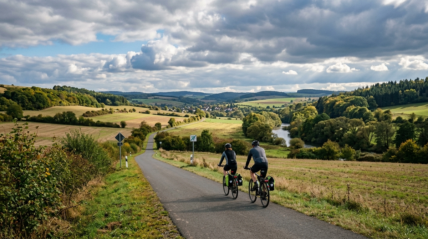
Chattengau-Fulda-Radweg
A 56.5 km asphalt point-to-point ride in Germany with 387 m of gain and no notable climbs. Expect steady endurance terrain, not a summit-focused day.
- Distanz
- 56.5km
- Höhenmeter
- 387m
- Untergrund
- —
- Form
- Punkt-zu-Punkt
Die Route
Höhenprofil
Chattengau-Fulda-Radweg cycling route overview
The Chattengau-Fulda-Radweg cycling route is a 56.5 km asphalt route in Germany with 387 m of elevation gain. It is not a loop, which is the first practical detail that should shape the day: this is a point-to-point ride, so the logistics matter almost as much as the pacing.
On paper, the route sits firmly in the endurance category rather than the climbing category. The elevation gain is real enough to keep the ride from feeling flat, but the absence of notable climbs changes the character. Instead of building the day around a single ascent or a decisive summit effort, expect a route where the work is spread across the distance.
That usually rewards riders who stay disciplined early. With no major climb to mark the hardest section, the temptation is to ride the opening stretch too hard and let the accumulated elevation do the damage later. A better approach is to keep the effort controlled, especially if using power or heart rate. Treat it as a steady aerobic ride, sitting below /glossary/ftp unless the goal is a more demanding endurance session.
Terrain and ride feel
The asphalt surface makes the route well suited to a road bike, endurance bike, or any efficient setup for paved riding. The main performance limiter is unlikely to be surface choice. It is more likely to be how smoothly the rider manages effort across rolling terrain and how well the point-to-point format is planned.
With 387 m of gain over 56.5 km, the route should feel varied without being defined by sustained climbing. That makes it useful for riders who want a longer paved ride with enough elevation to create rhythm changes, but without the demands of a climb-focused route.
Practical notes
- Plan the finish before starting, because the route is not a loop.
- Use pacing that assumes the elevation is distributed rather than saved for a single feature.
- Choose tires and gearing for asphalt, not mixed terrain.
- Check current route conditions before riding, since the available route data does not specify services, traffic exposure, or resupply points.
- If riding for training, this is best treated as a controlled endurance day rather than a climb test.
The key to enjoying the Chattengau-Fulda-Radweg is not overcomplicating it. It is a paved, medium-length point-to-point route with moderate elevation gain. Ride it smoothly, solve the logistics in advance, and let the route deliver a steady endurance workload rather than chasing moments that the profile does not really promise.
Ähnliche Routen
3-Länder-Radweg
A 302.2 km asphalt route in Germany with 1512 m of climbing and point-to-point logistics shaped by the Reußenkreuz climb.
7 Peaks Alpine Challenge
A 110.9 km point-to-point assault through the Victorian Alps, stacking 3404 metres of climbing across relentless, wind-swept high-country ascents.
Aberdare Range
A 46 km asphalt point-to-point through Kenya's Central Highlands that trades big climbs for a relentless 1,700 m of rolling grind.
Abra Málaga
A 45-kilometer point-to-point ribbon of asphalt through Peru's Sacred Valley, climbing 1,699 relentless meters into the high Andes.
Afriski Mahlasela Pass
A 112.8 km asphalt ascent through the Maloti Mountains, climbing 3,384 m to the roof of southern Africa via the storied Mahlasela Pass.
Ahr Cycleway
An 82.9 km asphalt point-to-point route with 541 m of gain, the Ahr Cycleway is a steady endurance ride rather than a climb-focused day.