Blue Velo
A practical guide to the Blue Velo cycling route: 309.6 km of asphalt riding with low total elevation gain and a point-to-point format.
- Distanz
- 309.6km
- Höhenmeter
- 506m
- Untergrund
- —
- Form
- Punkt-zu-Punkt
Die Route
Höhenprofil
Blue Velo cycling route overview
The Blue Velo cycling route is a 309.6 km asphalt route in PL with 506 m of elevation gain. It is not a loop, which is the first practical detail that should shape how you approach it. This is a point-to-point ride, so logistics matter almost as much as legs: transport, timing, resupply planning, and where you intend to finish all need to be decided before the ride starts.
The headline number is the distance, but the defining performance feature is the relationship between distance and elevation gain. Over 309.6 km, 506 m of climbing points to a route where sustained gradients and major climbs are not the main limiter. There are no notable climbs listed in the route data. That shifts the challenge away from climbing strength and toward endurance durability, fuelling discipline, position comfort, and the ability to keep pressure on the pedals for a long time.
Terrain and ride character
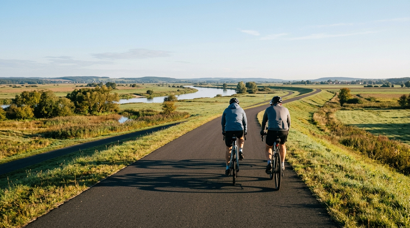
Expect an asphalt-based endurance route rather than a climbing route. With no listed notable climbs, the Blue Velo cycling route should reward steady pacing more than repeated high-power surges. That does not make it easy. A long, low-elevation-gain ride can be deceptively demanding because there are fewer natural interruptions. Climbs often force rhythm changes, but flatter asphalt asks a different question: can you keep the effort controlled, efficient, and repeatable for hours?
That makes aerodynamics, cadence control, and fuel timing more important than outright climbing power. If riding with a power meter, this is the kind of route where staying below threshold early is usually the smart play. The absence of major climbing does not remove fatigue - it just changes how it accumulates. Small spikes, long pulls, and poor fuelling can compound over a route of this length. For pacing references, /glossary/ftp is more useful here as a ceiling than as a target.
How to pace it
The most common mistake on a route like this is treating the modest elevation gain as permission to ride hard from the start. The better interpretation is the opposite. Because the road is asphalt and the climbing load is low, speed can stay high enough that small pacing errors become expensive later.
A sensible approach:
- Start conservatively and let average speed build naturally.
- Avoid unnecessary accelerations, especially if riding in a group.
- Eat and drink on schedule rather than waiting for obvious fatigue.
- Check contact points early, since comfort becomes a performance limiter over 309.6 km.
- Plan the finish logistics, because this is not a loop.
Practical notes
The asphalt surface makes the route suitable for a standard road setup, assuming normal conditions. The key setup question is not climbing gearing, because the profile does not point to major climbs. It is comfort and efficiency: tyres, position, clothing, and storage should be chosen for a long day rather than a short, sharp effort.
Because the route is point-to-point, do not treat it like a casual out-and-back. Decide whether the ride is a single-day endurance effort or something broken into sections. The route data supports either interpretation from a terrain perspective, but the 309.6 km distance means the practical execution has to be deliberate.
In short, Blue Velo is a long asphalt endurance route with low total climbing and no listed marquee ascents. The riders who get the most out of it will not be the ones who attack every slight rise. They will be the ones who manage effort, fuel early, stay comfortable, and respect the distance.
Ähnliche Routen
3-Länder-Radweg
A 302.2 km asphalt route in Germany with 1512 m of climbing and point-to-point logistics shaped by the Reußenkreuz climb.
7 Peaks Alpine Challenge
A 110.9 km point-to-point assault through the Victorian Alps, stacking 3404 metres of climbing across relentless, wind-swept high-country ascents.
Aberdare Range
A 46 km asphalt point-to-point through Kenya's Central Highlands that trades big climbs for a relentless 1,700 m of rolling grind.
Abra Málaga
A 45-kilometer point-to-point ribbon of asphalt through Peru's Sacred Valley, climbing 1,699 relentless meters into the high Andes.
Afriski Mahlasela Pass
A 112.8 km asphalt ascent through the Maloti Mountains, climbing 3,384 m to the roof of southern Africa via the storied Mahlasela Pass.
Ahr Cycleway
An 82.9 km asphalt point-to-point route with 541 m of gain, the Ahr Cycleway is a steady endurance ride rather than a climb-focused day.