🇷🇼 Atlas
Ruanda
Jeder Anstieg, jedes Rennen und jede Route, die wir für Ruanda führen – auf einer Karte.
- Anstiege
- 2
- Höchster Gipfel
- 2266m· Virunga foothills
- Routen
- 1
3 von allem, was wir hier gesammelt haben. Tippe auf einen Pin, um ihn zu öffnen.
Regionen in Ruanda
Das Terrain von Ruanda
Jeder erfasste Anstieg im Land, dargestellt danach, wie lang er ist und wie hart er zubeißt.
- Höchster Gipfel
- 2266m
- Virunga foothills
- Längster Anstieg
- 9km
- Cyuru Pass
- Steilster Anstieg
- 4.4%
- Virunga foothills
Schwierigkeitsmix
- Kat. 3
- 1
- Kat. 4
- 1
Länge nach Steigung
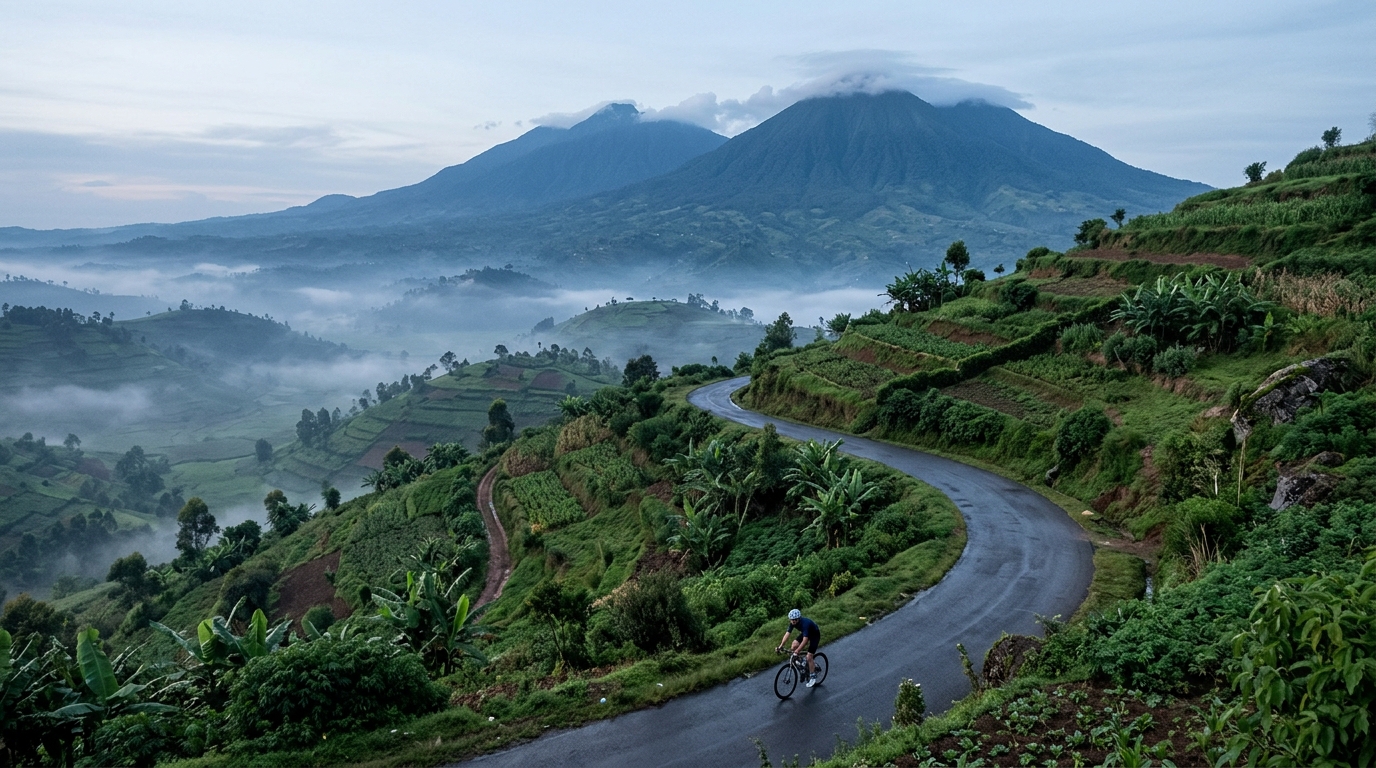
Rwanda earns its reputation as the land of a thousand hills, and its climbing is every bit as spirited as that name suggests. The catalogue here is small but distilled: two ascents that reward riders willing to trade distance for elevation. There are no hors catégorie monsters to grind out, yet the terrain still demands respect, rising through green, folded country toward a highest summit of 2,266 metres. It is a place where every road seems to tilt upward and the effort feels honest.
The marquee efforts are the Virunga foothills and Cyuru Pass, two climbs that capture what makes riding here so distinctive. The Virunga foothills carry you into steep, dramatic country, while Cyuru Pass offers a sustained, rhythmic ascent to test your legs. Together they form a concentrated introduction to Rwandan climbing: short on quantity, generous on character, and impossible to forget once ridden.