🇷🇼 Atlas
Ruanda
Todos los puertos, carreras y rutas que tenemos catalogados en Ruanda, en un solo mapa.
- Puertos
- 2
- Cumbre más alta
- 2266m· Virunga foothills
- Rutas
- 1
3 de todo lo que tenemos aquí. Toca un pin para abrirlo.
Regiones en Ruanda
El terreno de Ruanda
Todos los puertos catalogados del país, según su longitud y su dureza.
- Cumbre más alta
- 2266m
- Virunga foothills
- Puerto más largo
- 9km
- Cyuru Pass
- Puerto más empinado
- 4.4%
- Virunga foothills
Distribución de dificultad
- Cat. 3
- 1
- Cat. 4
- 1
Longitud frente a pendiente
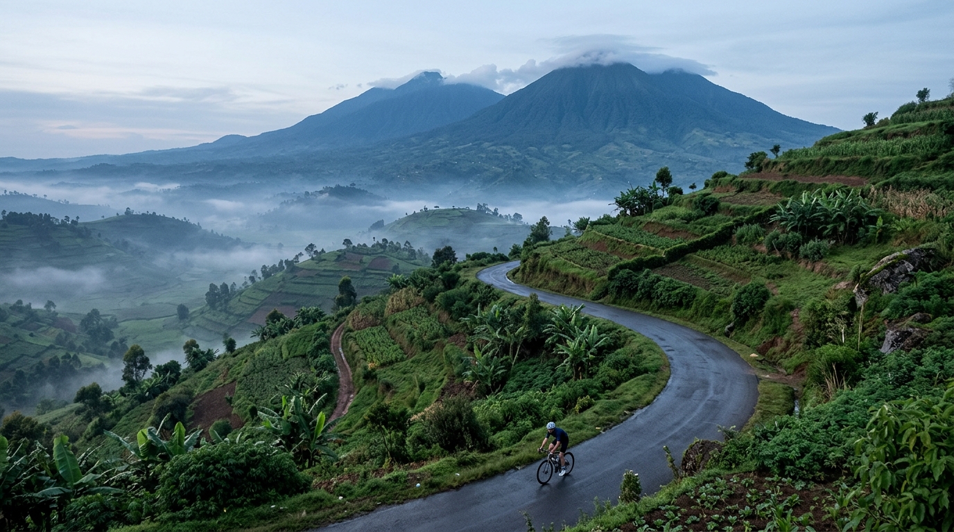
Rwanda earns its reputation as the land of a thousand hills, and its climbing is every bit as spirited as that name suggests. The catalogue here is small but distilled: two ascents that reward riders willing to trade distance for elevation. There are no hors catégorie monsters to grind out, yet the terrain still demands respect, rising through green, folded country toward a highest summit of 2,266 metres. It is a place where every road seems to tilt upward and the effort feels honest.
The marquee efforts are the Virunga foothills and Cyuru Pass, two climbs that capture what makes riding here so distinctive. The Virunga foothills carry you into steep, dramatic country, while Cyuru Pass offers a sustained, rhythmic ascent to test your legs. Together they form a concentrated introduction to Rwandan climbing: short on quantity, generous on character, and impossible to forget once ridden.