🇮🇸 Atlas
Island
Jeder Anstieg, jedes Rennen und jede Route, die wir für Island führen – auf einer Karte.
- Anstiege
- 8
- Höchster Gipfel
- 1055m· Vonarskarð
8 von allem, was wir hier gesammelt haben. Tippe auf einen Pin, um ihn zu öffnen.
Das Terrain von Island
Jeder erfasste Anstieg im Land, dargestellt danach, wie lang er ist und wie hart er zubeißt.
Schwierigkeitsmix
- Kat. 1
- 3
- Kat. 2
- 1
- Kat. 3
- 2
- Kat. 4
- 2
Länge nach Steigung
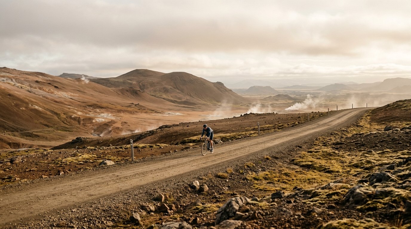
Iceland is not a country of endless ranked giants, and that is exactly what makes its climbing feel distinct. With 8 catalogued climbs and no hors categorie ascents, the challenge is less about stacking huge elevation numbers and more about how isolated, exposed efforts change the rhythm of a ride. The highest listed summit reaches 1055 metres, enough to make the terrain consequential without turning the trip into a pure altitude project.
The names tell the story of a climbing map built around scattered, memorable objectives rather than dense clusters: Námaskarð, Vonarskarð, Axarvegur, Fróðárheiði, Vatnsskarð, Oddsskarð, Víkurskarð, and Gönguskörð. That suits riders who like a destination where each climb has to be chosen deliberately. Iceland rewards planning, patience, and pacing - the climbs are few, but they matter.