🇭🇳 Atlas
Honduras
Jeder Anstieg, jedes Rennen und jede Route, die wir für Honduras führen – auf einer Karte.
- Anstiege
- 5
- Höchster Gipfel
- 953m· Paso de Manteca
5 von allem, was wir hier gesammelt haben. Tippe auf einen Pin, um ihn zu öffnen.
Das Terrain von Honduras
Jeder erfasste Anstieg im Land, dargestellt danach, wie lang er ist und wie hart er zubeißt.
- Höchster Gipfel
- 953m
- Paso de Manteca
- Längster Anstieg
- 11.2km
- Paso de Manteca
- Steilster Anstieg
- 13.5%
- Paso de Unire
Schwierigkeitsmix
- Kat. 1
- 1
- Kat. 2
- 3
- Kat. 3
- 1
Länge nach Steigung
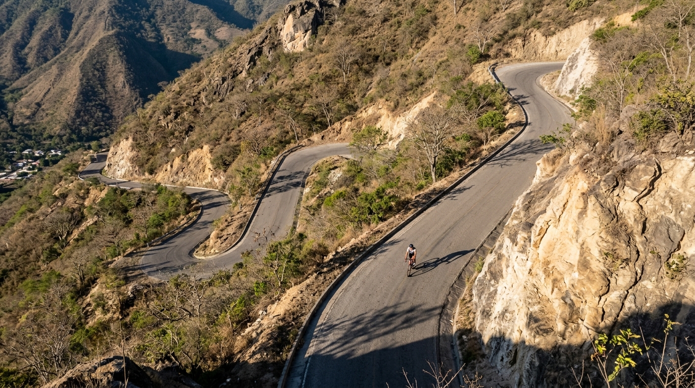
Honduras is a climbing destination built around medium-scale passes rather than headline altitude. The country has 5 listed climbs, with no hors categorie entries and a highest summit of 953 m, which changes the tactical feel of the riding. Instead of one decisive monster ascent, the challenge is how often the road asks for controlled pressure, how well a rider recovers between rises, and how disciplined the pacing stays when the profile refuses to settle.
The names tell the story: Paso de Unire, Paso de Manteca, Paso de Corinto, Paso de Lislique, and Paso de Nacascolo. These are the kinds of climbs that reward riders who can repeat steady efforts, carry momentum over the top, and avoid burning matches too early. Honduras is worth a trip because its climbing looks manageable on paper, then asks for real endurance once the passes start stacking up.