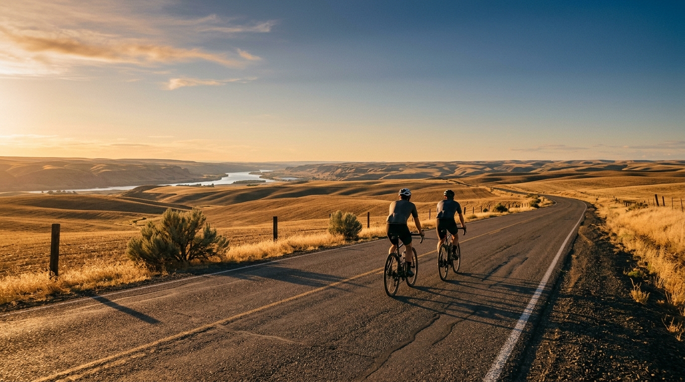
U.S. Bicycle Route 95 in Washington
A 70.3 km asphalt, point-to-point ride in Washington with 232 m of elevation gain and no listed notable climbs.
- Distanca
- 70.3km
- Penjanje
- 232m
- Podloga
- —
- Oblik
- Od tačke do tačke
Ruta
Profil visine
Route character
U.S. Bicycle Route 95 in Washington cycling route is a 70.3 km asphalt ride with 232 m of elevation gain. The defining feature is not a major climb or a hard summit finish, but the way the numbers point to a steady, efficient day on the bike. With no notable climbs listed, this route is best read as a point-to-point endurance ride where rhythm matters more than climbing punch.
That low climbing load relative to the distance changes the tactical feel. Instead of saving energy for one decisive ascent, the smart ride is built around keeping pressure on the pedals without drifting into repeated surges. On terrain like this, the cost usually comes from small accumulations - minor rises, wind exposure, junctions, and the tendency to ride slightly too hard because nothing looks severe on paper.
Terrain and pacing
The surface is asphalt, so the route suits a road bike or any efficient endurance setup. The main pacing risk is psychological. A route without listed notable climbs can feel manageable early, but 70.3 km is still long enough for poor fueling or uneven effort to show up late.
If riding by power, this is the kind of course where staying below threshold and avoiding unnecessary accelerations will usually beat chasing every small change in terrain. Riders using /glossary/ftp as a pacing anchor should think in terms of sustainable pressure rather than peak numbers. The profile does not suggest a climb-specific effort, so the better target is consistency.
Practical notes
Because the route is not a loop, logistics matter before fitness. Plan the start and finish arrangement first. A point-to-point ride can be more rewarding than an out-and-back, but it also gives less room for improvisation if weather, mechanical issues, or fatigue change the plan.
Key setup considerations:
- Use tires appropriate for asphalt and a position you can hold comfortably for the full distance.
- Carry enough food and fluid for a continuous 70.3 km ride, especially if you do not know the service options along the way.
- Treat the modest 232 m of elevation gain as a cue to ride smoothly, not as permission to ignore pacing.
- Check the route file carefully before departure since the ride does not naturally return to the start.
Who it suits
This route is a good fit for riders looking for a controlled endurance outing rather than a climb-focused challenge. It can work as a steady aerobic ride, a tempo session if paced deliberately, or a practical point-to-point transfer by bike. The absence of listed notable climbs keeps the emphasis on efficiency, fueling, and route management - the quiet skills that often decide whether a moderate-looking ride finishes comfortably or becomes harder than the profile suggested.
Slične rute
3-Länder-Radweg
A 302.2 km asphalt route in Germany with 1512 m of climbing and point-to-point logistics shaped by the Reußenkreuz climb.
7 Peaks Alpine Challenge
A 110.9 km point-to-point assault through the Victorian Alps, stacking 3404 metres of climbing across relentless, wind-swept high-country ascents.
Aberdare Range
A 46 km asphalt point-to-point through Kenya's Central Highlands that trades big climbs for a relentless 1,700 m of rolling grind.
Abra Málaga
A 45-kilometer point-to-point ribbon of asphalt through Peru's Sacred Valley, climbing 1,699 relentless meters into the high Andes.
Afriski Mahlasela Pass
A 112.8 km asphalt ascent through the Maloti Mountains, climbing 3,384 m to the roof of southern Africa via the storied Mahlasela Pass.
Ahr Cycleway
An 82.9 km asphalt point-to-point route with 541 m of gain, the Ahr Cycleway is a steady endurance ride rather than a climb-focused day.