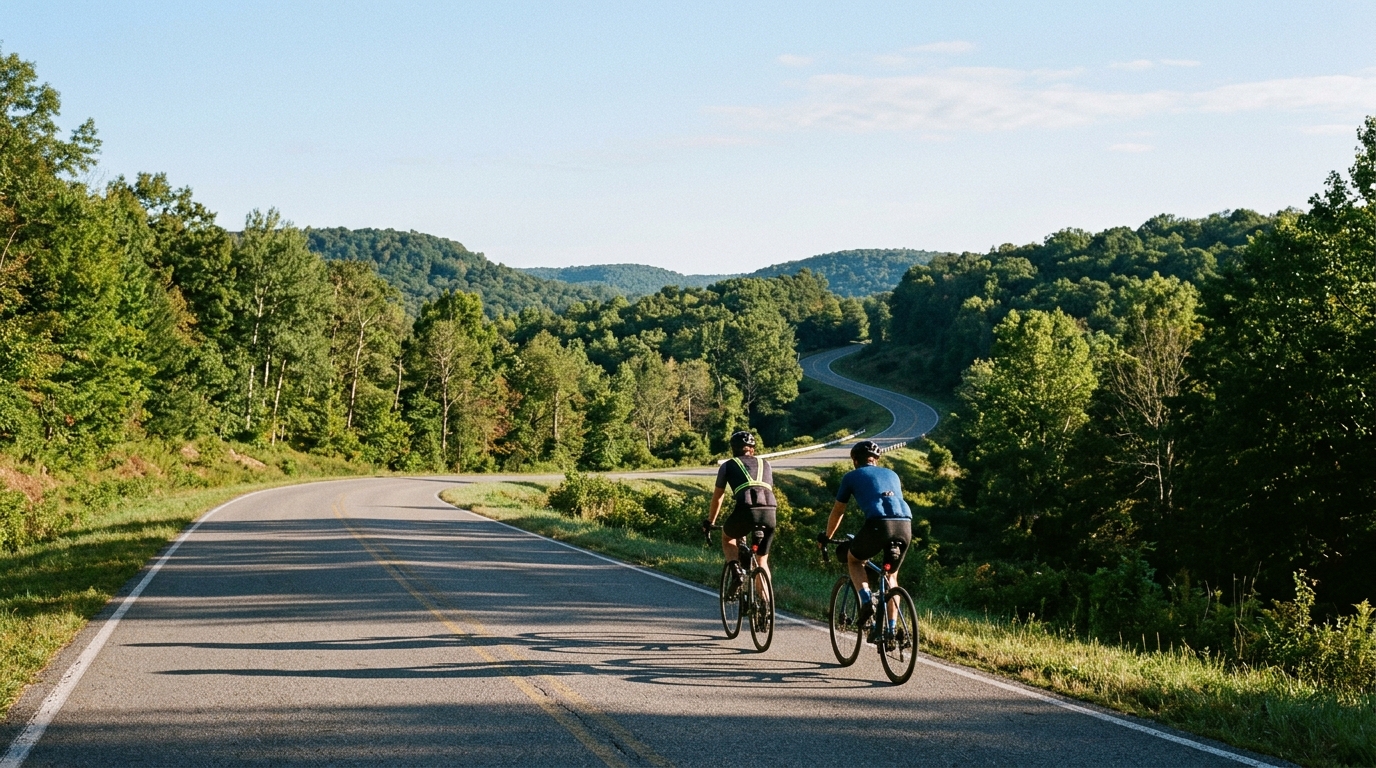
U.S. Bicycle Route 50 in West Virginia
A short asphalt point-to-point route with modest climbing, best ridden with simple pacing and a plan for the finish logistics.
- Distanca
- 23.3km
- Penjanje
- 96m
- Podloga
- —
- Oblik
- Od tačke do tačke
Ruta
Profil visine
U.S. Bicycle Route 50 in West Virginia cycling route overview
U.S. Bicycle Route 50 in West Virginia is a short, asphalt, point-to-point ride covering 23.3 km with 96 m of elevation gain. The key thing to understand is that the route is not defined by a major climb or a big vertical load. It is defined by continuity, surface, and logistics.
Because there are no listed notable climbs, the route should ride more like a steady transfer than a climbing objective. That does not mean it is effortless. A route with modest total gain can still break rhythm if the elevation comes in repeated small rises, but the overall demand is unlikely to be about one decisive ascent. The better approach is to keep the effort controlled and avoid treating every rise as a reason to surge.
Terrain and ride character
The asphalt surface makes this a road-focused route. That matters because the ride can be paced more predictably than a mixed-surface route, with fewer assumptions needed around tire choice or traction. The 96 m of elevation gain across 23.3 km points to a profile that is relatively restrained, so the limiting factors are more likely to be wind exposure, traffic context, rider pacing, and how the route connects at each end rather than sustained climbing.
For endurance riders, this is the kind of route that works well as a controlled aerobic outing, a connector within a longer day, or a low-stress way to add distance without committing to a heavy climbing load. If using it inside a structured ride, keep the effort below threshold and let the terrain come to you. Riders working from power can anchor the day around steady endurance output rather than chasing speed on each small change in grade. For pacing context, see /glossary/ftp.
Practical notes
The most important planning detail is that this is not a loop. You need a finish plan before rolling out: arrange a pickup, ride it as part of a larger route, or be prepared to return by the same corridor if appropriate.
A simple setup is enough: road bike, normal road tires, and gearing suitable for rolling terrain. With no notable climbs listed and only 96 m of gain, there is no clear need to build the entire ride around climbing gear selection.
The smart way to ride U.S. Bicycle Route 50 in West Virginia is to respect its point-to-point nature, keep the pacing even, and use the asphalt surface and modest profile to maintain momentum rather than force the route into something it is not.
Slične rute
3-Länder-Radweg
A 302.2 km asphalt route in Germany with 1512 m of climbing and point-to-point logistics shaped by the Reußenkreuz climb.
7 Peaks Alpine Challenge
A 110.9 km point-to-point assault through the Victorian Alps, stacking 3404 metres of climbing across relentless, wind-swept high-country ascents.
Aberdare Range
A 46 km asphalt point-to-point through Kenya's Central Highlands that trades big climbs for a relentless 1,700 m of rolling grind.
Abra Málaga
A 45-kilometer point-to-point ribbon of asphalt through Peru's Sacred Valley, climbing 1,699 relentless meters into the high Andes.
Afriski Mahlasela Pass
A 112.8 km asphalt ascent through the Maloti Mountains, climbing 3,384 m to the roof of southern Africa via the storied Mahlasela Pass.
Ahr Cycleway
An 82.9 km asphalt point-to-point route with 541 m of gain, the Ahr Cycleway is a steady endurance ride rather than a climb-focused day.