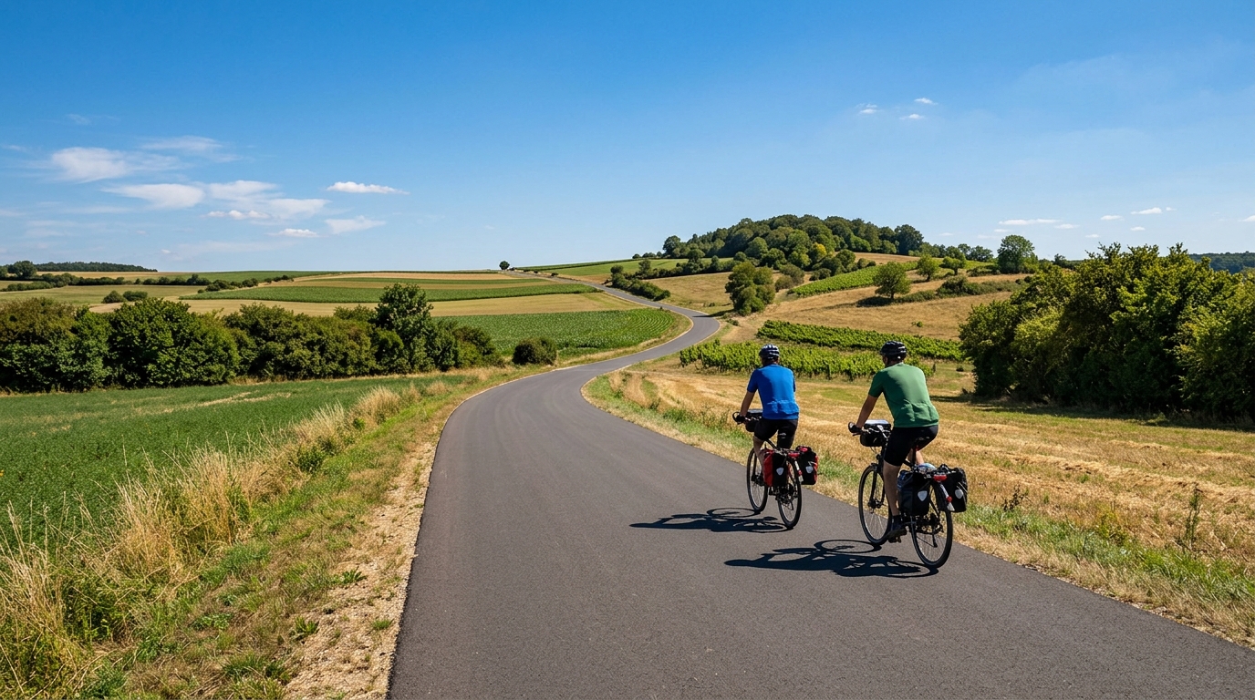
Stromberg-Murrtal-Weg
A 163 km asphalt point-to-point route in Germany with 737 m of elevation gain and a steady endurance character.
- Distanca
- 163km
- Penjanje
- 737m
- Podloga
- —
- Oblik
- Od tačke do tačke
Ruta
Profil visine
Stromberg-Murrtal-Weg cycling route overview
The Stromberg-Murrtal-Weg is a long asphalt point-to-point ride in Germany, covering 163 km with 737 m of elevation gain. The headline here is not a major summit or a decisive climb. It is the accumulation of distance on a route that, on paper, asks for patience more than explosiveness.
With no notable climbs listed, the climbing load should feel spread across the ride rather than concentrated into a single defining test. That changes how to approach it. Instead of riding defensively for one hard ascent, the better strategy is to keep the effort controlled from the start and avoid turning every rise into a surge. On a 163 km route, small mistakes in pacing become expensive late in the day.
Terrain and ride character
The surface is asphalt, which makes this a natural fit for a road bike or endurance setup. The modest total elevation gain relative to the distance points toward a route where rhythm matters: long periods of steady pedalling, occasional changes in gradient, and limited need for climbing-specific gearing if the rider is comfortable managing rolling terrain.
That said, the distance alone makes it a serious endurance ride. The absence of a listed marquee climb should not make it feel easy. A flatter or more rolling long route often rewards constant pressure, which can be deceptively draining because there are fewer obvious places where the terrain forces a reset.
Pacing and practical notes
Treat the Stromberg-Murrtal-Weg as an aerobic endurance objective. The best ride will likely come from staying comfortably below /glossary/ftp, fuelling before fatigue appears, and keeping the effort smooth across the full 163 km.
Because it is not a loop, the logistics matter as much as the legs. Plan the start and finish as separate points, and sort out the return before riding. That is especially important on a route of this length, where adding unplanned distance at the end can turn a controlled endurance day into a grind.
A practical setup should prioritise comfort and efficiency: reliable road tyres for asphalt, enough carrying capacity for food, and a position you can hold for several hours. The route profile does not suggest a climb-heavy day, so the main limiter is more likely to be cumulative fatigue than any single terrain feature.
Who it suits
This is a good route for riders who want a long, steady day rather than a climb-focused challenge. It suits endurance training, controlled tempo work, or a point-to-point ride where the goal is to cover ground efficiently. Ride it patiently, and the route should reward consistency over aggression.
Slične rute
3-Länder-Radweg
A 302.2 km asphalt route in Germany with 1512 m of climbing and point-to-point logistics shaped by the Reußenkreuz climb.
7 Peaks Alpine Challenge
A 110.9 km point-to-point assault through the Victorian Alps, stacking 3404 metres of climbing across relentless, wind-swept high-country ascents.
Aberdare Range
A 46 km asphalt point-to-point through Kenya's Central Highlands that trades big climbs for a relentless 1,700 m of rolling grind.
Abra Málaga
A 45-kilometer point-to-point ribbon of asphalt through Peru's Sacred Valley, climbing 1,699 relentless meters into the high Andes.
Afriski Mahlasela Pass
A 112.8 km asphalt ascent through the Maloti Mountains, climbing 3,384 m to the roof of southern Africa via the storied Mahlasela Pass.
Ahr Cycleway
An 82.9 km asphalt point-to-point route with 541 m of gain, the Ahr Cycleway is a steady endurance ride rather than a climb-focused day.