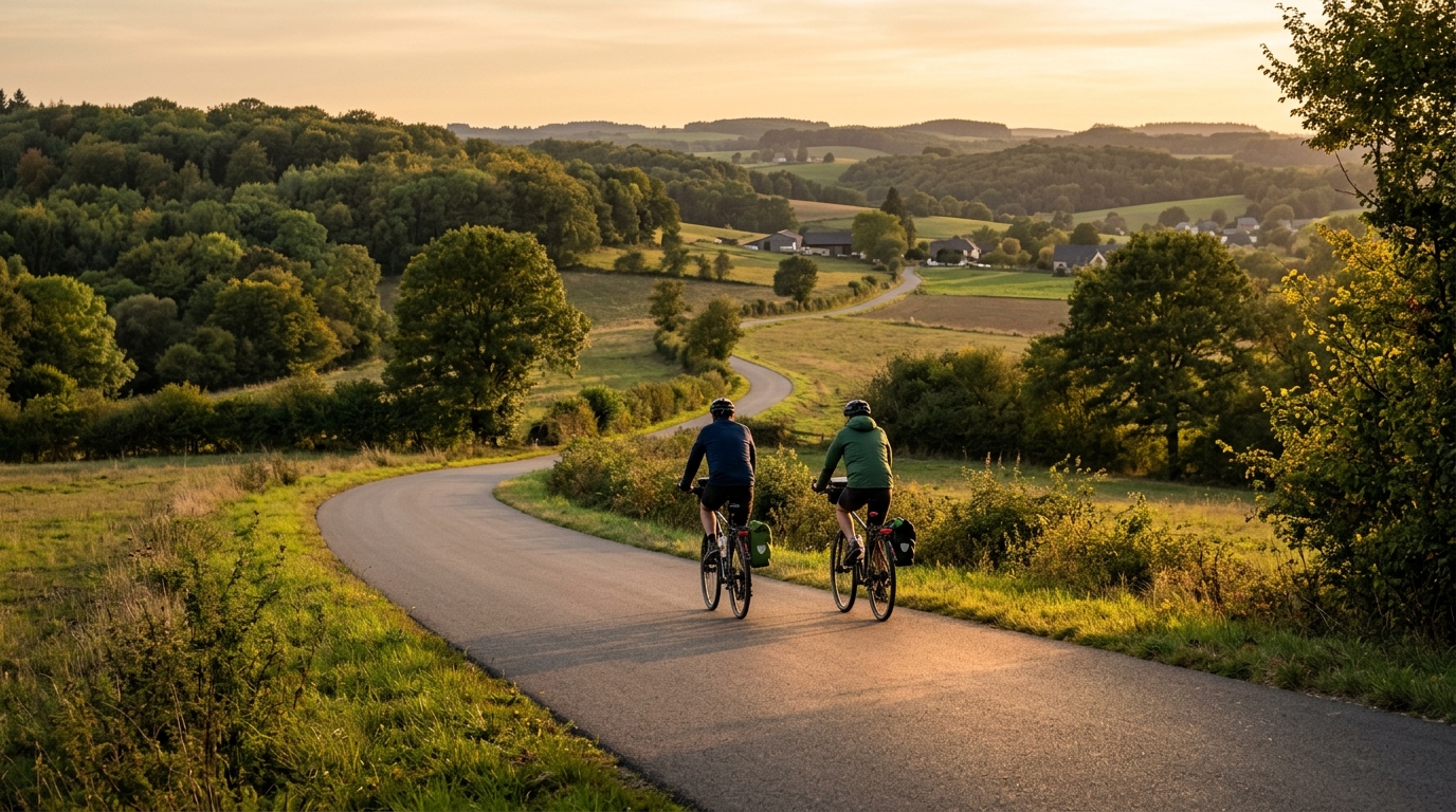
PC20 Cycle Route
A practical guide to the PC20 Cycle Route cycling route: 45.7 km of asphalt with 239 m of climbing and a point-to-point layout.
- Distanca
- 45.7km
- Penjanje
- 239m
- Podloga
- —
- Oblik
- Od tačke do tačke
Ruta
Profil visine
PC20 Cycle Route cycling route overview
The PC20 Cycle Route is a 45.7 km asphalt ride in LU with 239 m of elevation gain. On paper, that makes it a controlled endurance route rather than a climbing-focused test. The key feature is not a major ascent or a technical surface challenge, but the combination of steady distance, low total climbing, and point-to-point logistics.
Because the route is not a loop, the practical side matters more than it would on a simple out-and-back. Start and finish planning should be treated as part of the ride. If you are using it for training, the non-loop format can be useful because it encourages commitment to the full distance, but it also means you need a clear plan for return transport, pickup, or continuing on by bike.
Terrain and ride character
With 239 m of climbing across 45.7 km, the PC20 Cycle Route should ride as a predominantly aerobic effort rather than a route defined by sustained climbing. There are no notable climbs listed, so the demands are more likely to come from maintaining rhythm, managing wind exposure if conditions allow it, and pacing the distance cleanly rather than saving everything for a decisive ascent.
The asphalt surface is the most important equipment cue. A standard road bike setup is the natural choice, and there is no reason from the route data to bias the setup toward gravel or mixed-surface riding. That said, a smoother route does not automatically mean an easier one. On lower-climbing profiles, the effort can become deceptively constant because there are fewer obvious recovery moments after climbs or descents.
Pacing notes
The best way to ride this route is to keep the first half deliberately restrained. Since the profile does not include a named climb to break up the day, the main risk is turning the route into a long tempo grind too early. For endurance work, keep the effort conversational and avoid repeated surges. If you are riding with power, anchor the day around sustainable aerobic output rather than chasing short accelerations. See /glossary/ftp if you use FTP to set ride intensity.
For fitter riders, the route can work well as a controlled endurance block or a steady tempo session. For newer riders, the distance is the bigger limiter than the climbing. The 45.7 km total is long enough that fueling and hydration still matter, even with modest elevation gain.
Practical notes
- Surface: asphalt, so road tyres and standard road gearing are appropriate.
- Distance: 45.7 km, long enough to require basic ride supplies.
- Climbing: 239 m, so expect rolling or gentle terrain rather than a climb-heavy day.
- Format: not a loop, so plan start and finish logistics before riding.
- Route focus: steady pacing, clean execution, and efficient endurance riding.
Who this route suits
The PC20 Cycle Route is best suited to riders looking for a manageable road route with enough distance to feel meaningful but without the climbing load of a mountain day. It is a good option for endurance conditioning, group riding at a controlled pace, or a point-to-point road ride where the objective is consistency rather than high-intensity climbing.
Slične rute
3-Länder-Radweg
A 302.2 km asphalt route in Germany with 1512 m of climbing and point-to-point logistics shaped by the Reußenkreuz climb.
7 Peaks Alpine Challenge
A 110.9 km point-to-point assault through the Victorian Alps, stacking 3404 metres of climbing across relentless, wind-swept high-country ascents.
Aberdare Range
A 46 km asphalt point-to-point through Kenya's Central Highlands that trades big climbs for a relentless 1,700 m of rolling grind.
Abra Málaga
A 45-kilometer point-to-point ribbon of asphalt through Peru's Sacred Valley, climbing 1,699 relentless meters into the high Andes.
Afriski Mahlasela Pass
A 112.8 km asphalt ascent through the Maloti Mountains, climbing 3,384 m to the roof of southern Africa via the storied Mahlasela Pass.
Ahr Cycleway
An 82.9 km asphalt point-to-point route with 541 m of gain, the Ahr Cycleway is a steady endurance ride rather than a climb-focused day.