PC13 Cycle Route
A concise guide to the PC13 Cycle Route, a short asphalt point-to-point ride in Luxembourg with minimal climbing and simple pacing demands.
- Distanca
- 16.3km
- Penjanje
- 44m
- Podloga
- —
- Oblik
- Od tačke do tačke
Ruta
Profil visine
PC13 Cycle Route overview
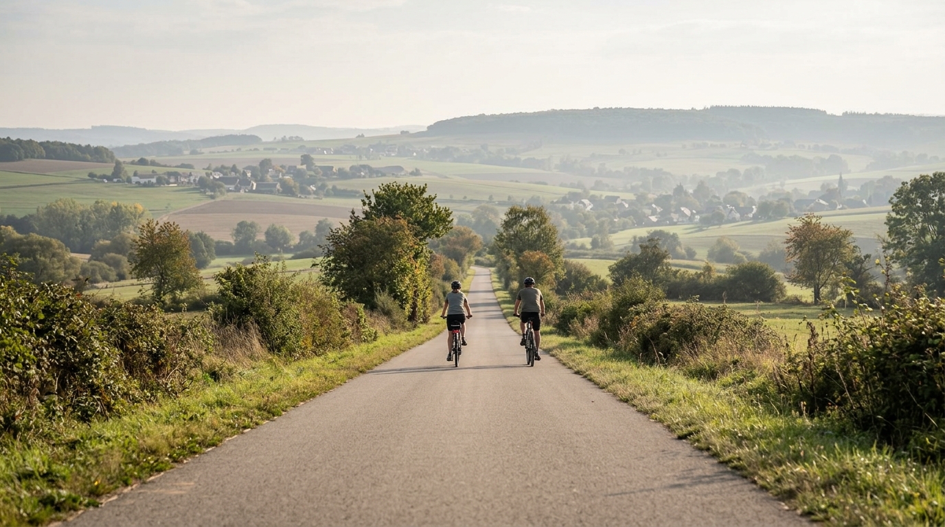
The PC13 Cycle Route cycling route is a short, asphalt point-to-point ride in Luxembourg. At 16.3 km with 44 m of elevation gain, its defining feature is not climbing difficulty but continuity. This is the kind of route where the effort is shaped less by gradients and more by how smoothly you settle into the ride.
That matters because a route with this little elevation gain does not create obvious tactical checkpoints. There are no notable climbs listed, so there is no natural place where the ride is likely to break into climbing, recovery, and descent phases. Instead, the route should feel steady. If you ride it well, the limiting factor is likely to be consistency rather than gearing or climbing strength.
Terrain and ride character
The asphalt surface points toward a road-friendly setup. There is no reason, based on the route data, to treat this as a mixed-surface or gravel ride. A standard road bike, endurance bike, or fast commuter setup makes sense, with tyre choice driven more by comfort and reliability than by off-road capability.
The elevation profile is the key story. With only 44 m of gain over 16.3 km, the route should suit endurance pacing, recovery riding, commuting-style movement, or a controlled aerobic session. Riders chasing structure can use it as a clean steady-state segment rather than a climbing workout. If you are using power, keep the effort anchored around your intended zone instead of surging after every small change in terrain. For reference on setting that effort, see /glossary/ftp.
Pacing and practical notes
Because the route is not a loop, logistics matter more than they would on a circular ride. Plan the finish before you start. That may mean arranging a return, linking the route into a longer ride, or simply riding it in both directions if that fits your day. The point-to-point format is the one detail most likely to affect the overall experience.
A few practical takeaways follow directly from the route profile:
- Do not over-gear for climbing. The listed elevation gain is modest.
- Prioritise smooth pacing. There are no notable climbs to build the ride around.
- Use a road-appropriate setup for asphalt.
- Treat the route as a connector, short endurance ride, or controlled aerobic effort rather than a major climbing objective.
Who it suits
PC13 is best for riders who want a short, efficient asphalt route without major vertical demands. It can work as a standalone easy ride, a recovery spin, or a piece of a longer day where the goal is to accumulate distance without adding much climbing stress. The simplicity is the appeal: 16.3 km, low elevation gain, and a route profile that rewards steady execution.
Slične rute
3-Länder-Radweg
A 302.2 km asphalt route in Germany with 1512 m of climbing and point-to-point logistics shaped by the Reußenkreuz climb.
7 Peaks Alpine Challenge
A 110.9 km point-to-point assault through the Victorian Alps, stacking 3404 metres of climbing across relentless, wind-swept high-country ascents.
Aberdare Range
A 46 km asphalt point-to-point through Kenya's Central Highlands that trades big climbs for a relentless 1,700 m of rolling grind.
Abra Málaga
A 45-kilometer point-to-point ribbon of asphalt through Peru's Sacred Valley, climbing 1,699 relentless meters into the high Andes.
Afriski Mahlasela Pass
A 112.8 km asphalt ascent through the Maloti Mountains, climbing 3,384 m to the roof of southern Africa via the storied Mahlasela Pass.
Ahr Cycleway
An 82.9 km asphalt point-to-point route with 541 m of gain, the Ahr Cycleway is a steady endurance ride rather than a climb-focused day.