National Cycle Route 15
A practical guide to the National Cycle Route 15 cycling route: 87.2 km of asphalt, modest climbing, and point-to-point logistics.
- Distanca
- 87.2km
- Penjanje
- 224m
- Podloga
- —
- Oblik
- Od tačke do tačke
Ruta
Profil visine
Route character
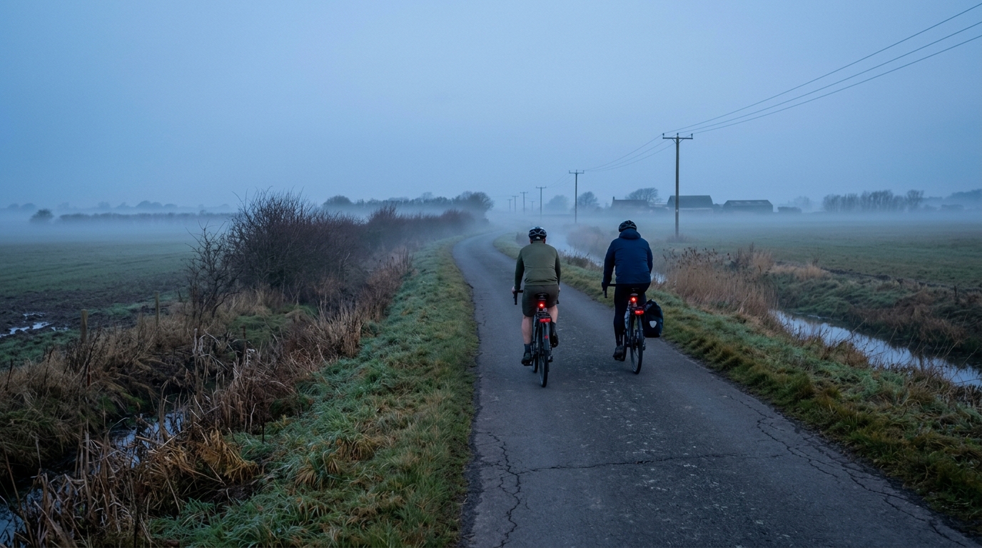
The National Cycle Route 15 cycling route is an 87.2 km point-to-point ride in Great Britain, with an asphalt surface and 224 m of elevation gain. That combination tells you most of what matters before you roll out: this is not a climbing-led route, and the main performance question is less about surviving steep gradients and more about how consistently you can ride over a longer distance.
The absence of notable climbs in the supplied route data is important. It suggests the ride should reward steady pacing, good fueling habits, and efficient positioning rather than repeated high-torque climbing efforts. For endurance riders, that makes it a useful route for aerobic volume, tempo work, or a controlled day where the goal is to hold a smooth output without the terrain constantly interrupting the rhythm.
Terrain and pacing
With 224 m of elevation gain across 87.2 km, the route profile should feel relatively restrained. That does not mean it is effortless. A flatter or low-relief route often exposes pacing mistakes because there are fewer natural resets. If you ride too hard early, there may not be a long descent or obvious lull to bring things back under control.
The best approach is to treat the opening section as a settling phase, then build into a sustainable endurance rhythm. If you use power, keep the ride anchored below the effort you would associate with a hard /glossary/ftp-focused session unless the plan is specifically to add intervals. If you ride by feel, aim for pressure on the pedals that is assertive but repeatable.
Surface and equipment
The listed surface is asphalt, so standard road setup is the natural choice. Tyre selection should prioritise low rolling resistance, comfort, and reliability rather than off-road grip. Because the route is not listed as a loop, the bigger equipment and planning issue is not the bike itself but the finish logistics.
A point-to-point ride changes the day. You need a plan for transport at the far end, a return route, or a deliberate out-and-back extension if that suits your training. Do not leave that decision until the ride is already underway.
Practical notes
For most riders, the key variables are distance management and consistency. The 87.2 km length is substantial enough that fueling, hydration, and clothing choices still matter, even though the elevation gain is modest.
Use this route when you want a controlled endurance day on asphalt rather than a climbing test. It is well suited to steady aerobic riding, group rotation practice, or a disciplined solo effort where the objective is to finish as smoothly as you started.
Slične rute
3-Länder-Radweg
A 302.2 km asphalt route in Germany with 1512 m of climbing and point-to-point logistics shaped by the Reußenkreuz climb.
7 Peaks Alpine Challenge
A 110.9 km point-to-point assault through the Victorian Alps, stacking 3404 metres of climbing across relentless, wind-swept high-country ascents.
Aberdare Range
A 46 km asphalt point-to-point through Kenya's Central Highlands that trades big climbs for a relentless 1,700 m of rolling grind.
Abra Málaga
A 45-kilometer point-to-point ribbon of asphalt through Peru's Sacred Valley, climbing 1,699 relentless meters into the high Andes.
Afriski Mahlasela Pass
A 112.8 km asphalt ascent through the Maloti Mountains, climbing 3,384 m to the roof of southern Africa via the storied Mahlasela Pass.
Ahr Cycleway
An 82.9 km asphalt point-to-point route with 541 m of gain, the Ahr Cycleway is a steady endurance ride rather than a climb-focused day.