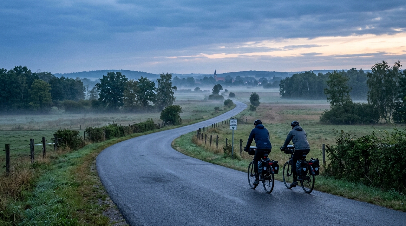
Hofjagdweg
A practical guide to the Hofjagdweg cycling route: 64.8 km of asphalt, modest elevation gain, and point-to-point logistics.
- Distanca
- 64.8km
- Penjanje
- 178m
- Podloga
- —
- Oblik
- Od tačke do tačke
Ruta
Profil visine
Hofjagdweg cycling route overview
The Hofjagdweg cycling route is best read as a steady asphalt endurance ride rather than a climbing objective. At 64.8 km with 178 m of elevation gain, the route profile points toward sustained pacing, efficient position, and good fueling habits instead of repeated threshold efforts on major climbs.
The important detail is not just that the elevation gain is modest. It is what that does to the ride. With no notable climbs listed in the route data, there is unlikely to be a single decisive uphill section that naturally breaks the day into obvious blocks. That makes discipline matter. Riders who go too hard early can still pay for it late, because a flatter route tends to keep the pedals loaded and gives fewer natural recovery moments than a climb-and-descent profile.
Terrain and ride character
The route is listed as asphalt, which makes it well suited to a road bike, endurance bike, or fast all-road setup. The low total elevation gain means the ride should reward smooth power delivery more than low-gear climbing strength. If using the Hofjagdweg as training, it fits well as an aerobic endurance session or a controlled tempo ride, depending on intensity and conditions.
Because the profile is not climb-heavy, pacing should be based on sustainable effort rather than chasing speed. On this kind of route, small surges out of turns, through towns, or after stops can accumulate quickly. Keeping the effort close to endurance or upper endurance, relative to your /glossary/ftp, will usually produce a cleaner ride than repeatedly lifting above your target power.
Practical notes
The Hofjagdweg is not a loop, so logistics are the main planning point. Before starting, decide whether the day is a point-to-point ride, an out-and-back extension, or a route that requires transport at one end. That choice changes the ride more than the elevation profile does.
A few simple checks will make the route easier to execute:
- Plan start and finish logistics before committing to the ride.
- Carry enough food for a steady 64.8 km effort, especially if riding without planned stops.
- Use tires and pressure appropriate for asphalt, while allowing for normal road variation.
- Pace from the first third of the ride, not from how fresh the legs feel at the start.
How to approach it
Treat the Hofjagdweg cycling route as a route where consistency is the performance metric. The numbers do not suggest a day defined by climbing, but that does not make it passive. A flatter asphalt route asks for concentration: holding position, keeping cadence stable, eating before energy dips, and avoiding unnecessary accelerations.
For riders building endurance, that is exactly the value. The route gives enough distance to be meaningful without the demands of a major climbing day, and its point-to-point format adds a practical planning layer that should not be ignored.
Slične rute
3-Länder-Radweg
A 302.2 km asphalt route in Germany with 1512 m of climbing and point-to-point logistics shaped by the Reußenkreuz climb.
7 Peaks Alpine Challenge
A 110.9 km point-to-point assault through the Victorian Alps, stacking 3404 metres of climbing across relentless, wind-swept high-country ascents.
Aberdare Range
A 46 km asphalt point-to-point through Kenya's Central Highlands that trades big climbs for a relentless 1,700 m of rolling grind.
Abra Málaga
A 45-kilometer point-to-point ribbon of asphalt through Peru's Sacred Valley, climbing 1,699 relentless meters into the high Andes.
Afriski Mahlasela Pass
A 112.8 km asphalt ascent through the Maloti Mountains, climbing 3,384 m to the roof of southern Africa via the storied Mahlasela Pass.
Ahr Cycleway
An 82.9 km asphalt point-to-point route with 541 m of gain, the Ahr Cycleway is a steady endurance ride rather than a climb-focused day.