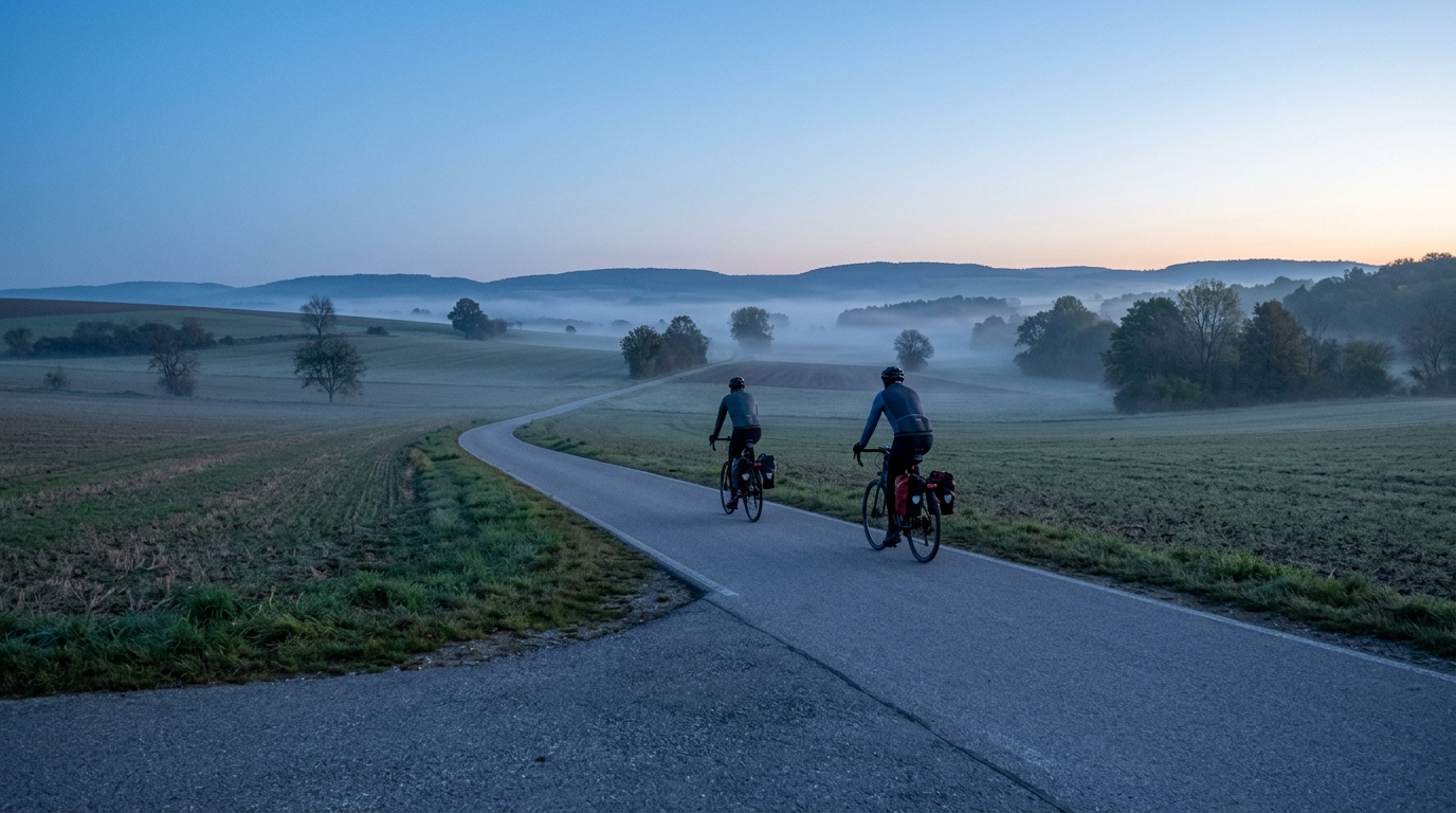
Gaubahn-Radweg
A practical guide to the Gaubahn-Radweg cycling route, a 25.7 km asphalt point-to-point ride in Germany with 150 m of elevation gain.
- Distanca
- 25.7km
- Penjanje
- 150m
- Podloga
- —
- Oblik
- Od tačke do tačke
Ruta
Profil visine
Gaubahn-Radweg cycling route overview
The Gaubahn-Radweg cycling route is a 25.7 km asphalt ride in Germany with 150 m of elevation gain. On paper, that makes it a controlled, low-complexity route rather than a climbing test. The key feature is not a single decisive ascent, because there are no notable climbs listed, but the way the modest elevation gain is spread across a point-to-point ride.
That matters for pacing. A route like this rewards consistency more than aggression. With only 150 m of total gain, the main risk is not blowing up on a major climb. It is riding the opening section too hard because the terrain feels manageable, then turning what should be a smooth endurance effort into a series of unnecessary accelerations.
Terrain and ride character
The asphalt surface gives the route a predictable feel. For most riders, that points toward a road bike, endurance bike, or fast hybrid setup rather than anything built around rough-surface traction. The absence of notable climbs also makes the route accessible for steady aerobic riding, easy group spins, or a controlled session where the goal is to hold rhythm rather than chase vertical meters.
This is a good route for riders who want time on the pedals without the tactical complication of steep gradients. If you are using power, keep the effort anchored and avoid surging over every rise. If you are riding by feel, the right intensity should feel repeatable from start to finish. For reference, pacing discipline around /glossary/ftp matters even on easier profiles, because short over-threshold efforts still add up.
Practical notes
Because the Gaubahn-Radweg is not a loop, logistics are part of the ride plan. Decide before starting whether the 25.7 km route is the full outing, whether you are arranging transport at the finish, or whether you are riding it as an out-and-back. Turning it into a return ride changes the day completely, even if the individual route profile looks modest.
For equipment, the asphalt surface keeps things simple. Prioritize efficient tires, a comfortable position, and enough food and fluid for the full point-to-point distance. The route does not demand a climbing-specific setup, but it does reward smooth cadence, tidy fueling, and restraint early on.
Best use
This is best treated as an endurance or recovery-friendly route, not a benchmark climb or high-vertical training day. Its value is in the controlled distance, paved surface, and manageable elevation gain. Ride it steadily, plan the finish logistics, and let the simplicity of the profile work in your favor.
Slične rute
3-Länder-Radweg
A 302.2 km asphalt route in Germany with 1512 m of climbing and point-to-point logistics shaped by the Reußenkreuz climb.
7 Peaks Alpine Challenge
A 110.9 km point-to-point assault through the Victorian Alps, stacking 3404 metres of climbing across relentless, wind-swept high-country ascents.
Aberdare Range
A 46 km asphalt point-to-point through Kenya's Central Highlands that trades big climbs for a relentless 1,700 m of rolling grind.
Abra Málaga
A 45-kilometer point-to-point ribbon of asphalt through Peru's Sacred Valley, climbing 1,699 relentless meters into the high Andes.
Afriski Mahlasela Pass
A 112.8 km asphalt ascent through the Maloti Mountains, climbing 3,384 m to the roof of southern Africa via the storied Mahlasela Pass.
Ahr Cycleway
An 82.9 km asphalt point-to-point route with 541 m of gain, the Ahr Cycleway is a steady endurance ride rather than a climb-focused day.