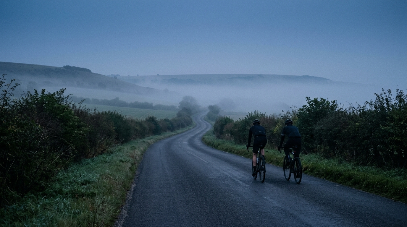
Chilterns Cycleway
A long asphalt route in GB with 342.3 km of riding, 2004 m of elevation gain, and point-to-point logistics to plan carefully.
- Distanca
- 342.3km
- Penjanje
- 2,004m
- Podloga
- —
- Oblik
- Od tačke do tačke
Ruta
Profil visine
Chilterns Cycleway cycling route overview
The Chilterns Cycleway is a long asphalt route in GB, covering 342.3 km with 2004 m of elevation gain. That combination defines the ride more clearly than any single feature: this is not listed as a route built around major climbs, but it is still long enough for fatigue, pacing, fuelling, and logistics to matter.
The key practical point is that the route is not marked as a loop. Treat it as a point-to-point ride unless your own planning source confirms otherwise. That changes the day before it starts. You need a clear plan for how you are getting to the start, how you are leaving the finish, and whether you are riding it in one push or breaking it into stages.
Terrain and ride character
The surface is asphalt, which makes this a road-oriented route rather than a mixed-surface adventure. A road bike or endurance bike is the natural fit, with tyre choice leaning toward comfort and reliability rather than off-road capability.
The elevation gain of 2004 m over 342.3 km suggests a rolling endurance profile rather than a route dominated by a single defining ascent. There are no notable climbs listed in the data, which matters tactically. Instead of saving everything for one known summit, ride the route as an accumulation problem. Small rises, changes in rhythm, and repeated accelerations can become expensive late in a ride of this length.
That is where pacing matters. If you use power, keep the early riding controlled against your /glossary/ftp rather than chasing speed. On a route this long, the cost of over-riding early usually shows up later as poor fuelling, fading cadence, and avoidable stops.
How to approach it
For a single-day attempt, the main limiter is likely to be duration rather than any listed climb. Start conservatively, keep eating before hunger arrives, and avoid treating the flatter sections as free speed if they push you above sustainable endurance effort.
For a multi-day ride, the route becomes much more manageable, but the non-loop format still drives the planning. Stage length, overnight stops, and return transport should be sorted before the ride, not improvised at the finish.
Practical notes
- Distance: 342.3 km
- Elevation gain: 2004 m
- Surface: asphalt
- Format: not listed as a loop
- Country: GB
- Notable climbs: none listed in the provided data
The cleanest way to ride the Chilterns Cycleway is to respect its scale. It may not be defined by marquee climbs, but 342.3 km of asphalt still rewards disciplined pacing and punishes vague logistics.
Slične rute
3-Länder-Radweg
A 302.2 km asphalt route in Germany with 1512 m of climbing and point-to-point logistics shaped by the Reußenkreuz climb.
7 Peaks Alpine Challenge
A 110.9 km point-to-point assault through the Victorian Alps, stacking 3404 metres of climbing across relentless, wind-swept high-country ascents.
Aberdare Range
A 46 km asphalt point-to-point through Kenya's Central Highlands that trades big climbs for a relentless 1,700 m of rolling grind.
Abra Málaga
A 45-kilometer point-to-point ribbon of asphalt through Peru's Sacred Valley, climbing 1,699 relentless meters into the high Andes.
Afriski Mahlasela Pass
A 112.8 km asphalt ascent through the Maloti Mountains, climbing 3,384 m to the roof of southern Africa via the storied Mahlasela Pass.
Ahr Cycleway
An 82.9 km asphalt point-to-point route with 541 m of gain, the Ahr Cycleway is a steady endurance ride rather than a climb-focused day.