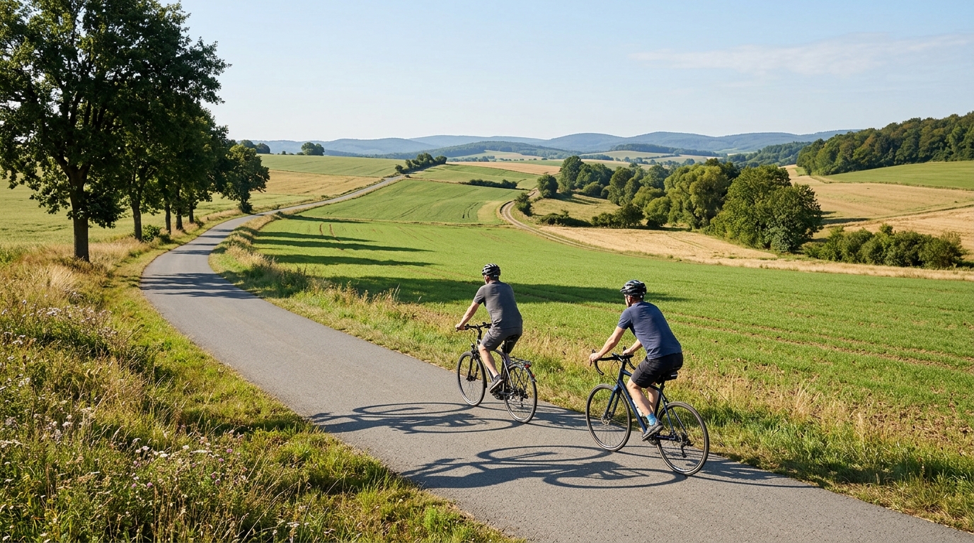
Chattengauweg
A short asphalt point-to-point route in DE, with 25.2 km of riding and 182 m of elevation gain.
- Distanca
- 25.2km
- Penjanje
- 182m
- Podloga
- —
- Oblik
- Od tačke do tačke
Ruta
Profil visine
Chattengauweg cycling route overview
The Chattengauweg is a compact asphalt route in DE, covering 25.2 km with 182 m of elevation gain. Its defining feature is not a single major climb, but the combination of a relatively short distance, a modest total climbing load, and a non-loop format.
That matters because the route should ride more like a controlled endurance outing than a climbing test. With no notable climbs listed, the effort is likely to come from small changes in terrain rather than one decisive ascent. For most riders, this makes pacing simpler: settle into a sustainable rhythm early, avoid overreacting to short rises, and keep the effort smooth rather than spiky.
Terrain and ride character
The surface is asphalt, which makes the Chattengauweg a natural fit for a road bike, endurance bike, or any fast hybrid setup. The 182 m of elevation gain across 25.2 km suggests the route has some rolling character, but the climbing demand is not the main story. The better approach is to treat it as a route where efficiency carries speed: stay seated on the rises, keep cadence steady, and use the flatter sections to recover without fully switching off.
Because the route is short, mistakes show up quickly. Starting too hard can turn the final portion into unnecessary damage control, especially if the elevation is unevenly distributed. A better pacing model is to ride the opening section below threshold, keep the middle controlled, then lift the effort only if the legs still feel responsive. If using power, this is the kind of route where riding around endurance to tempo can make more sense than chasing repeated surges. For reference, see /glossary/ftp if you use threshold to anchor pacing.
Practical notes
The key logistical detail is that the Chattengauweg is not a loop. Plan the finish before starting: either arrange a return ride, use transport, or build your own connection back to the start. Do not assume the route naturally returns you to where you began.
The asphalt surface keeps equipment choices straightforward. Prioritise normal road setup, reliable tyres, and enough food and fluid for a short but continuous effort. The distance is manageable, but the point-to-point format means a mechanical or poor weather choice can be more disruptive than it would be on a local loop.
Who it suits
This route suits riders looking for a short, structured endurance ride, a low-climbing road route, or a point-to-point section to incorporate into a longer day. It is not defined by big climbs or technical surface demands. Its value is in controlled pacing, efficient road riding, and simple execution over 25.2 km.
Slične rute
3-Länder-Radweg
A 302.2 km asphalt route in Germany with 1512 m of climbing and point-to-point logistics shaped by the Reußenkreuz climb.
7 Peaks Alpine Challenge
A 110.9 km point-to-point assault through the Victorian Alps, stacking 3404 metres of climbing across relentless, wind-swept high-country ascents.
Aberdare Range
A 46 km asphalt point-to-point through Kenya's Central Highlands that trades big climbs for a relentless 1,700 m of rolling grind.
Abra Málaga
A 45-kilometer point-to-point ribbon of asphalt through Peru's Sacred Valley, climbing 1,699 relentless meters into the high Andes.
Afriski Mahlasela Pass
A 112.8 km asphalt ascent through the Maloti Mountains, climbing 3,384 m to the roof of southern Africa via the storied Mahlasela Pass.
Ahr Cycleway
An 82.9 km asphalt point-to-point route with 541 m of gain, the Ahr Cycleway is a steady endurance ride rather than a climb-focused day.