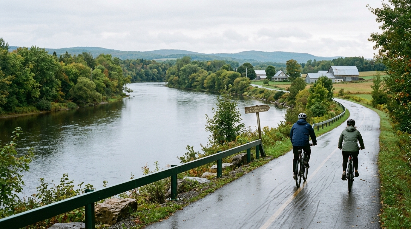
Véloroute de la Chaudière
An 85.7 km asphalt point-to-point route in Canada with just 137 m of gain, built more around steady endurance than climbing.
- Distanza
- 85.7km
- Dislivello
- 137m
- Fondo
- —
- Forma
- Punto a punto
Il percorso
Profilo altimetrico
Véloroute de la Chaudière cycling route
The Véloroute de la Chaudière is an 85.7 km asphalt route in Canada with 137 m of elevation gain. The defining feature is not a climb, a summit, or a punchy profile. It is the opposite: a long point-to-point ride where the terrain data points toward steady, controlled endurance rather than repeated accelerations or major climbing stress.
That matters for how to ride it. With no notable climbs listed, this is the kind of route where the effort can look deceptively easy early on. The total gain is low enough that elevation should not dictate the day, but the distance still demands respect. If you ride the opening section too hard simply because the road lets you, the cost shows up later as fatigue rather than as an obvious blow-up on a climb.
Terrain and ride character
The surface is asphalt, which makes this a natural fit for a road bike or a fast all-road setup. Since the route is not a loop, the main logistical issue is not equipment choice, but planning the start and finish. Treat it as a point-to-point endurance ride: arrange transport, build in a turnaround plan if needed, and avoid assuming the ride solves itself once you reach the far end.
The low elevation gain changes the tactical feel. On a climbing-heavy route, the gradients naturally structure your pacing. Here, you have to impose that structure yourself. Keep the first part controlled, settle into an aerobic rhythm, and let the distance do the work. Riders using power should think less about heroic spikes and more about keeping the effort repeatable, especially if using /glossary/ftp to anchor pacing zones.
Practical notes
- Distance: 85.7 km
- Elevation gain: 137 m
- Surface: asphalt
- Format: point-to-point, not a loop
- Notable climbs: none listed
The main mistake would be treating the modest elevation gain as a sign that the route is trivial. It is not a climbing test, but it is still long enough to reward disciplined fueling, steady pacing, and a clear finish-line plan. If the goal is endurance quality, this route is well suited to sustained tempo or aerobic work because the profile is unlikely to force big interruptions.
Who it suits
This is a strong choice for riders who want distance without a climbing-heavy load. It suits endurance development, steady group riding, and controlled pacing practice. It is less suited to riders looking for a route defined by major climbs or repeated elevation changes. The Véloroute de la Chaudière cycling route is best understood as a long, asphalt point-to-point ride where execution matters more than climbing ability.
Percorsi correlati
3-Länder-Radweg
A 302.2 km asphalt route in Germany with 1512 m of climbing and point-to-point logistics shaped by the Reußenkreuz climb.
7 Peaks Alpine Challenge
A 110.9 km point-to-point assault through the Victorian Alps, stacking 3404 metres of climbing across relentless, wind-swept high-country ascents.
Aberdare Range
A 46 km asphalt point-to-point through Kenya's Central Highlands that trades big climbs for a relentless 1,700 m of rolling grind.
Abra Málaga
A 45-kilometer point-to-point ribbon of asphalt through Peru's Sacred Valley, climbing 1,699 relentless meters into the high Andes.
Afriski Mahlasela Pass
A 112.8 km asphalt ascent through the Maloti Mountains, climbing 3,384 m to the roof of southern Africa via the storied Mahlasela Pass.
Ahr Cycleway
An 82.9 km asphalt point-to-point route with 541 m of gain, the Ahr Cycleway is a steady endurance ride rather than a climb-focused day.