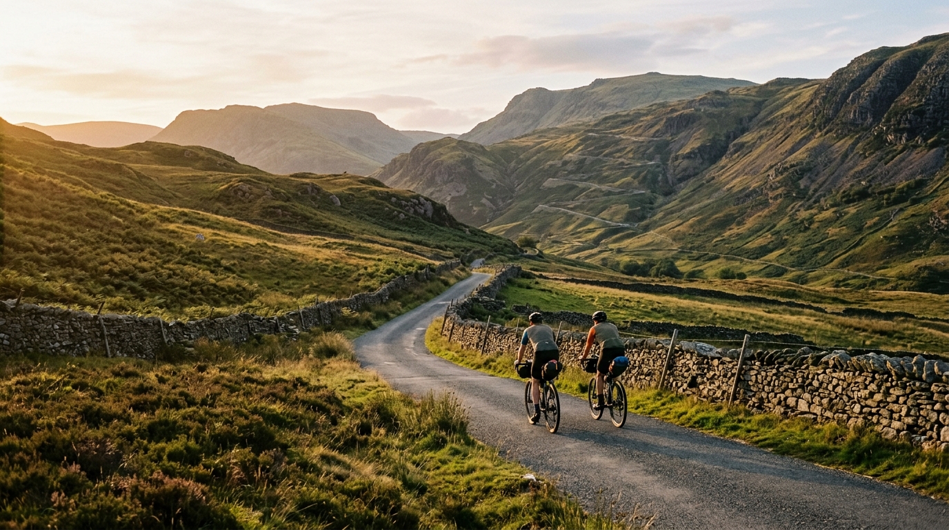
National Cycle Route 72
A 277 km asphalt point-to-point route in GB, defined less by total elevation than by how its named climbs shape pacing and logistics.
- Distancia
- 277km
- Desnivel
- 1,091m
- Superficie
- —
- Forma
- Punto a punto
La ruta
Perfil de elevación
National Cycle Route 72 cycling route overview
National Cycle Route 72 is a 277 km asphalt route in GB with 1091 m of elevation gain. It is not a loop, which matters as much as the terrain: this is a point-to-point ride where pacing, resupply, and transport planning need to be decided before the first kilometre rather than improvised at the finish.
On paper, the elevation gain is moderate for the total distance. That should shape expectations. This is not a route defined by relentless vertical accumulation. Instead, the character comes from long stretches of asphalt riding broken up by named climbing obstacles, where effort management becomes the difference between a controlled endurance day and a slow fade.
Terrain and ride character
The surface is asphalt, so the route suits a road bike or fast endurance setup rather than a gravel-first approach. The practical implication is simple: rolling efficiency matters. Over 277 km, small equipment choices compound. Comfortable tyres, a position you can hold for hours, and gearing that lets you stay seated on the steeper named climbs will matter more than chasing a minimal setup.
The listed climbs give the route its tactical shape: Wrynose Pass, Kirkstone Pass, Hardknott Pass, Honister Pass, Dunmail Raise, Buttertubs Pass, Killhope Cross, and Whinlatter Pass. Even without treating the route as a pure climbing challenge, those names change how the ride should be approached. A route with this many recognised passes rewards patience. Burning matches early on open asphalt is the easiest way to make the later climbs feel disproportionately expensive.
How to pace it
The key mistake would be reading 1091 m of gain across 277 km and assuming the ride is gentle. The total climbing number suggests the route has plenty of transitional terrain, but the named climbs suggest the hard sections are concentrated enough to demand respect.
Ride the opening phase below target endurance intensity and keep the climbs capped. If using power, this is the kind of route where staying disciplined around /glossary/ftp is more useful than chasing speed over the passes. If riding by feel, the test is whether you can crest each climb still able to return to steady pressure on the asphalt that follows. If the answer is no, the climb was ridden too hard.
Practical notes
Because National Cycle Route 72 is not a loop, finishing logistics are part of the route design. Arrange transport, accommodation, or a connection from the endpoint before committing to the full distance. A point-to-point ride also makes weather and wind direction more consequential, since there is no natural return leg to balance conditions out.
For most riders, the sensible approach is to break the 277 km into manageable sections unless the goal is a single long endurance effort. Either way, the route asks for conservative pacing, reliable fueling, and enough gearing to keep the named climbs from forcing repeated maximal efforts.
Bottom line
National Cycle Route 72 is best understood as a long asphalt endurance route with selective climbing pressure. The distance sets the aerobic demand, the point-to-point format sets the logistical demand, and the named passes set the tactical demand. Ride it patiently and it becomes a controlled endurance challenge. Treat the early kilometres as free speed, and the later climbs will expose that decision.
Puertos en esta ruta
Hardknott Pass
Cat 2England's steepest road - 2.4 km from Eskdale at 13 percent average, with 30 percent ramps on the upper switchbacks.
Wrynose Pass
Cat 3Wrynose Pass is a 10.6 km Lake District climb with a deceptive 3.1% average gradient that hides a savage 18.48% maximum. Here's how the road actually unfolds.
Buttertubs Pass
Cat 3A 6.3 km Category 3 climb through the Yorkshire Dales, Buttertubs Pass averages 4.16% with sharp ramps to 13.11% — deceptively varied and worth understanding before you ride it.
Whinlatter Pass
Cat 4A short category 4 climb in Great Britain where 125m of hidden re-climbing turns a modest 3.92% average into a punchier effort than the numbers suggest.
Killhope Cross
Cat 3A 7.2km Category 3 climb in Great Britain with a modest 3.86% average that hides steep ramps and 113m of hidden climbing from undulation.
Dunmail Raise
Cat 4A compact Lake District climb: 2.8 km at 5.08%, with enough gradient to reward steady pacing over a hard early surge.
Kirkstone Pass
Cat 3Kirkstone Pass is a 6.9 km Lake District climb with 324 m of net elevation gain, an average gradient of 4.67%, and a punishing 17.24% maximum. Here's how to ride it smart.
Honister Pass
Cat 3Honister Pass is a 7.1 km Lake District climb with a deceptive average gradient of 3.97% that masks a brutal 19.67% maximum ramp. Here's how to pace and gear it.
Hardknott Pass
Cat 3A practical pacing guide to Hardknott Pass, a 4.2 km category 3 climb with a 4.94% average gradient and sharper ramps up to 13.36%.
Rutas relacionadas
3-Länder-Radweg
A 302.2 km asphalt route in Germany with 1512 m of climbing and point-to-point logistics shaped by the Reußenkreuz climb.
7 Peaks Alpine Challenge
A 110.9 km point-to-point assault through the Victorian Alps, stacking 3404 metres of climbing across relentless, wind-swept high-country ascents.
Aberdare Range
A 46 km asphalt point-to-point through Kenya's Central Highlands that trades big climbs for a relentless 1,700 m of rolling grind.
Abra Málaga
A 45-kilometer point-to-point ribbon of asphalt through Peru's Sacred Valley, climbing 1,699 relentless meters into the high Andes.
Afriski Mahlasela Pass
A 112.8 km asphalt ascent through the Maloti Mountains, climbing 3,384 m to the roof of southern Africa via the storied Mahlasela Pass.
Ahr Cycleway
An 82.9 km asphalt point-to-point route with 541 m of gain, the Ahr Cycleway is a steady endurance ride rather than a climb-focused day.