🇱🇸 Atlas
Lesoto
Todos los puertos, carreras y rutas que tenemos catalogados en Lesoto, en un solo mapa.
- Puertos
- 6
- Cumbre más alta
- 2818m· Mahlasela Pass
- Rutas
- 1
7 de todo lo que tenemos aquí. Toca un pin para abrirlo.
Regiones en Lesoto
El terreno de Lesoto
Todos los puertos catalogados del país, según su longitud y su dureza.
- Cumbre más alta
- 2818m
- Mahlasela Pass
- Puerto más largo
- 13.7km
- Qacha's Nek
- Puerto más empinado
- 8.3%
- Mahlasela Pass
Distribución de dificultad
- Cat. 1
- 3
- Cat. 2
- 2
- Cat. 3
- 1
Longitud frente a pendiente
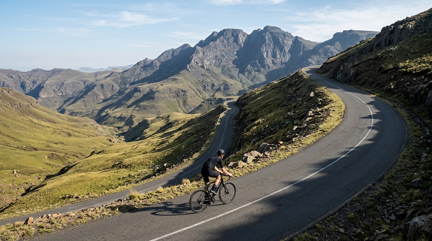
Perched at the roof of southern Africa, Lesotho is a country built for climbing. Its roads rarely stay level for long, threading upward through thin mountain air toward a highest catalogued summit of 2,818 metres. With three climbs on the map, this is a compact but demanding destination — one where altitude, not just gradient, defines the effort. Riders come here for the sensation of pedalling above the clouds, on passes that reward patience with vast, open horizons.
The marquee ascents give the country its character. Mahlasela Pass draws those chasing high-altitude legend, while God Help Me Pass hints at the suffering promised by its name. Qacha's Nek rounds out the trio, a gateway climb in the country's remote reaches. None ranks as hors catégorie, yet the sheer elevation makes every metre count. For cyclists seeking somewhere genuinely different, Lesotho offers climbing at the edge of the sky.