🇦🇷 Atlas
Argentina
Todos los puertos, carreras y rutas que tenemos catalogados en Argentina, en un solo mapa.
- Puertos
- 25
- Cumbre más alta
- 4951m· Abra del Acay
- Rutas
- 1
26 de todo lo que tenemos aquí. Toca un pin para abrirlo.
Regiones en Argentina
El terreno de Argentina
Todos los puertos catalogados del país, según su longitud y su dureza.
- Cumbre más alta
- 4951m
- Abra del Acay
- Puerto más largo
- 91km
- Agua Negra Pass
- Puerto más empinado
- 11.2%
- Paso Peña Negra
Distribución de dificultad
- HC
- 6
- Cat. 1
- 5
- Cat. 2
- 5
- Cat. 3
- 5
- Cat. 4
- 4
Longitud frente a pendiente
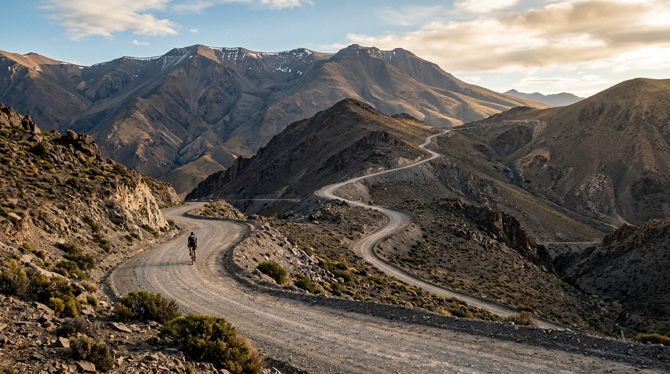
Argentina rewards the patient climber with high, thin-aired ascents that reach a staggering 4951 metres above sea level. None of its seven catalogued climbs carry an hors catégorie rating, yet the sheer altitude tells its own story: this is a place where the road climbs far higher than the muscle-burning gradients of Europe, and where the challenge is measured as much by the sky as by the slope.
The marquee ascents span the country's dramatic range of terrain. Abra del Acay and Paso Socompa push riders toward the highest reaches of the catalogue, while Paso del Planchón, Pino Hachado Pass and Lilpela Pass thread through mountain crossings that link one valley to the next. Alto de las Juntas rounds out a collection built for cyclists who want long, remote days in the saddle and the quiet satisfaction of topping out somewhere genuinely high.