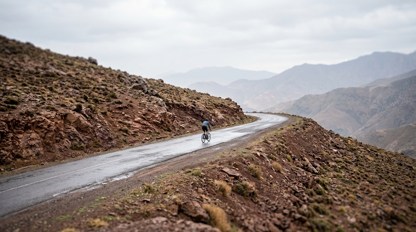
🇲🇦 Atlas
Marokko
Jeder Anstieg, jedes Rennen und jede Route, die wir für Marokko führen – auf einer Karte.
- Anstiege
- 3
- Höchster Gipfel
- 2207m· Tizi n'Tichka
3 von allem, was wir hier gesammelt haben. Tippe auf einen Pin, um ihn zu öffnen.
Das Terrain von Marokko
Jeder erfasste Anstieg im Land, dargestellt danach, wie lang er ist und wie hart er zubeißt.
Schwierigkeitsmix
- Kat. 1
- 1
- Kat. 2
- 2
Länge nach Steigung
Morocco is not a volume play for climb hunters. With 3 catalogued climbs and no hors categorie entries, its appeal is more selective - big, exposed roads where pacing, heat management, and patience matter more than chasing a famous European benchmark. The highest summit in the set reaches 2207 m, which is enough to make effort control a real part of the ride rather than an afterthought.
The headline names - Tizi n'Tichka, Tizi n'Test, and Col du Zad - give Morocco its climbing identity. These are the kind of routes worth travelling for because they change the rhythm of a ride: long approaches, open terrain, and the need to meter effort instead of simply reacting to the road. Come prepared, ride within the conditions, and Morocco rewards a measured climber.